
August 4, 2021
30 Miles
Downtown, Battle Creek, Highwood, City of Newport
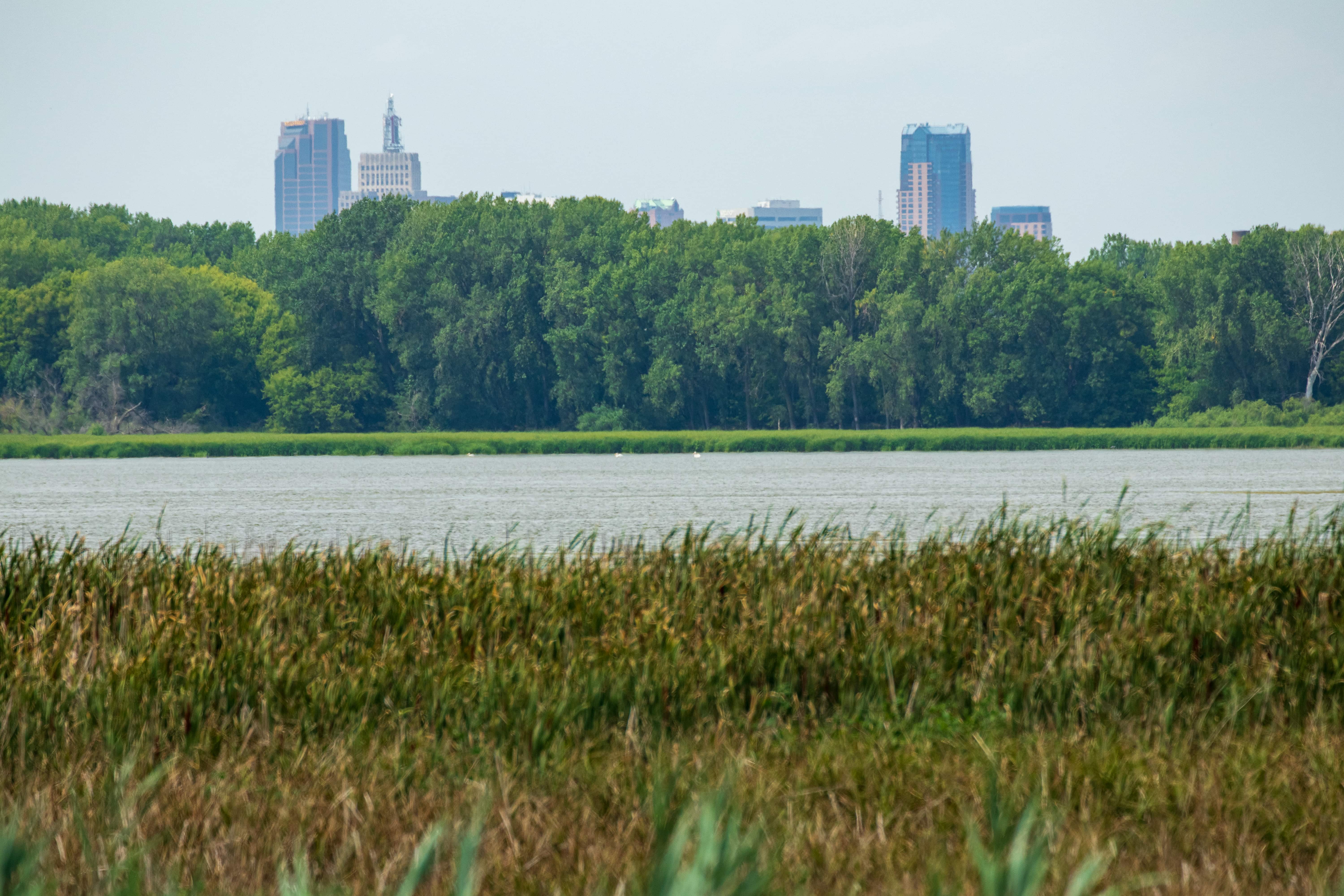
My plan for this ride was to visit the southernmost point in St. Paul. To do so, one must leave the city. The easiest route involves riding east of downtown and then south along Point Douglas Road, weaving back and forth between a small piece of Newport and St. Paul and finally, back into St. Paul (see the map below).

Downtown
Just east of Eagle Parkway in downtown I jumped on the Sam Morgan Regional Trail, which parallels Shepard, then Warner Road.
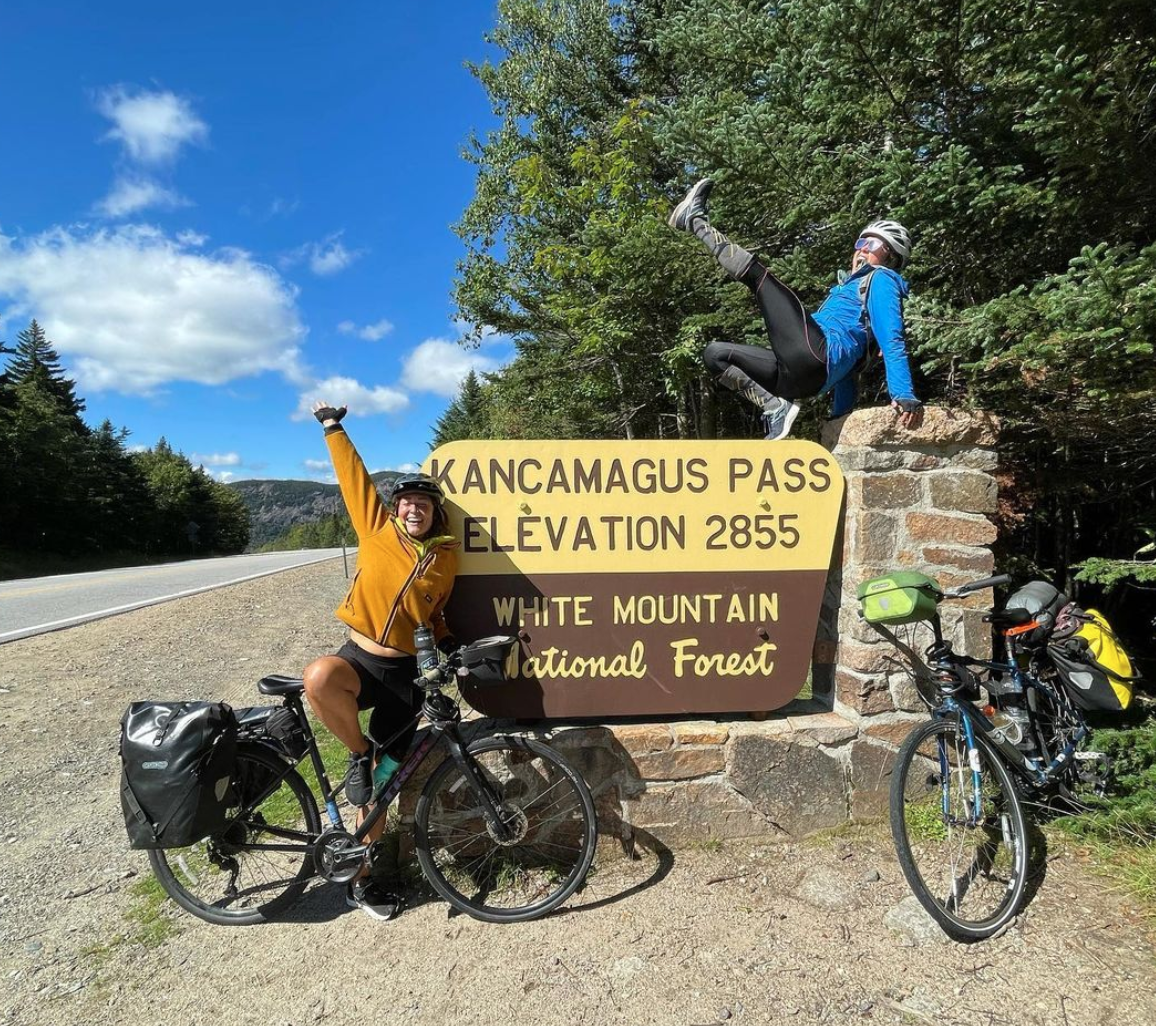
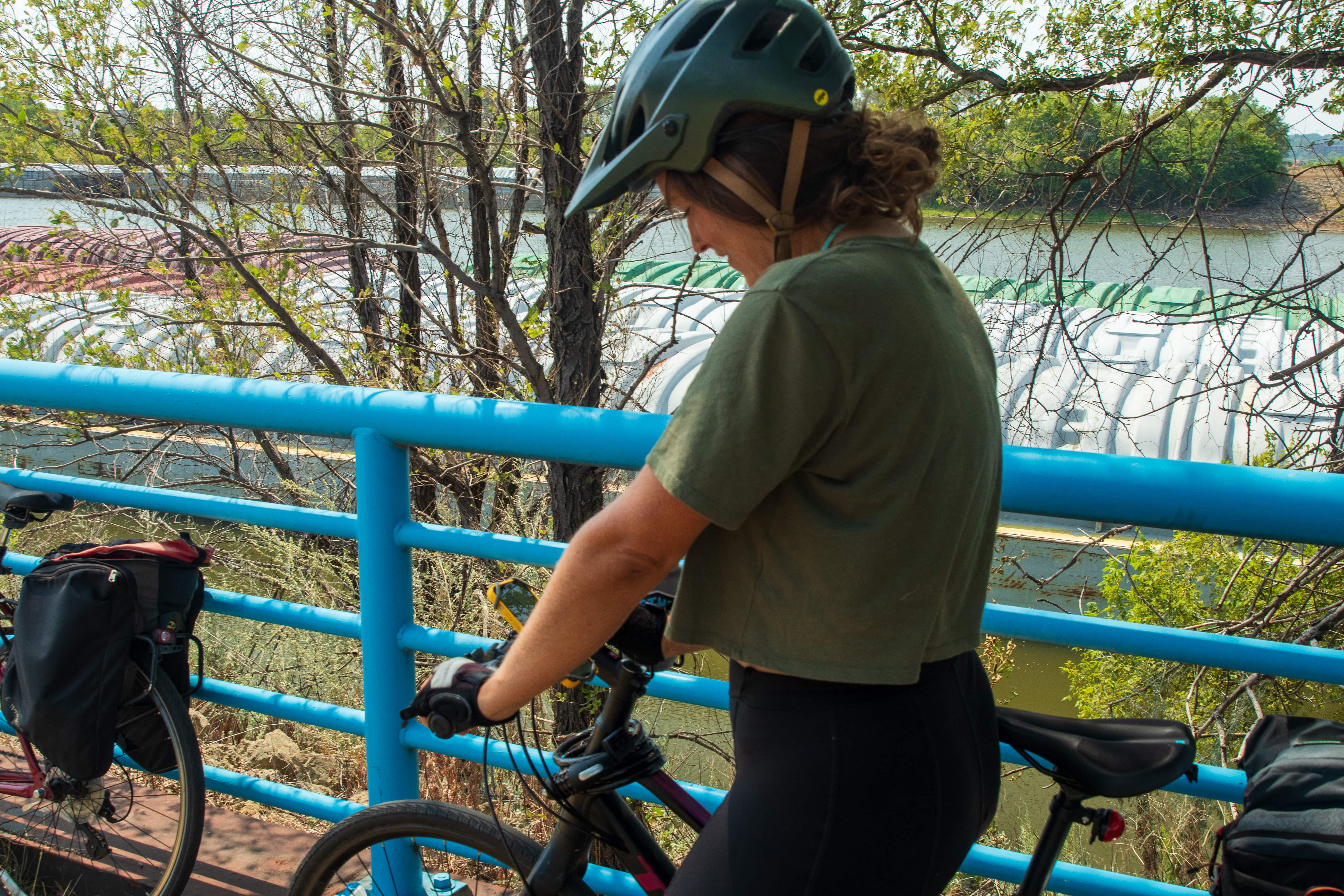
Before long I caught up to another rider ahead of me and we struck up a conversation. We cruised east and chatted, which is how I learned Gabrielle was in the midst of a cross-country excursion. The more she talked, the more interesting her story became. She agreed to an interview so we pulled off the trail and stopped under the shade of a tree for a respite from the persistent early August sun.

Gabrielle’s energy, passion and joy for her tour revealed themselves throughout our conversation. She and Liliana, her friend, biking partner and trip organizer, had just parted company in Minneapolis. They first met up in the northern Idaho city of Sandpoint, about 46 miles north of Coeur d’Alene, and rode together to Minneapolis, about 1,400 miles.
I asked Gabrielle how she decided to ride cross-country. “I wrote it on my bucket list a couple of years ago that I wanted to take a long bike ride. That’s all it said. And one of my friends said she was going from Seattle to Maine. My energy system was just like, ‘Ooh, that’s interesting.’ And I was like, ‘Can I go?’ And she was like, ‘Yeah.’”
“It’s an experience of a lifetime!”
Gabrielle on what her bike trip means to her
Gabrielle didn’t own a bike so she needed to buy one, something difficult to do during the COVID pandemic. She found a hybrid bike in the right size at a Trek store in Ohio and had it shipped to her Idaho home.
“I started this journey to lean into what really lights me up and see what my life looks like if I did these things, and it’s exploded,” Gabrielle said. “It’s been so, so crazy.”
Gabrielle’s friends weren’t surprised by her plan. “I feel like I live such an adventurous, spur-of-the-moment life anyway. And so most people were like, ‘That sounds like a thing that you would do.’” Her parents, however, were less excited. “My parents are definitely worried. They are like, ‘Who are you staying with every night? You’re staying with strangers? You’re a pretty girl on the road by yourself.’”
Gabrielle’s dad also offered encouragement. “My dad called me the other day and he said, ‘I’m so in awe of you,’ and it really touched my heart that he’s like, ‘I can’t believe that you said you’re going to do this thing and you’re actually doing it.’”
Before Gabrielle began her cross-country adventure, her exercise routine consisted of walking about eight miles a day. “I didn’t bike. I didn’t have a bike before this. And the fact that I could just get on a bike without any training and ride 60 or 70 miles, go up passes, just get pummeled by hills and still be able to do it. That’s probably the number one thing.”
She did experience physical challenges, to be sure. “The most physically hard thing is probably the first few weeks of saddle sores. Honestly, it’s like, oh my gosh, getting on and off the bike every day.”
Gabrielle’s knees were another sore point. “I’m experiencing so much knee pain because I was sitting on my seat wrong for the first two or so weeks. I was like, I don’t know if I’ll physically be able to complete this.” Gabrielle finally adjusted her bike seat, which eased her knee pain almost immediately.
“It’s so fun sharing experiences with people. Happiness is best when shared. It’s a really great thing to travel with somebody.”
Gabrielle
The mental challenges of such a strenuous and demanding ride almost equal the physical ones. “Headwinds are honestly worse than the sun beating down on you, because you get to the top of a hill and then you’re expecting to just cruise down and you actually have to pedal down. So the mental aspect of it is also huge. How do I make these uncomfortable moments enjoyable? It’s so easy to be, oh, this sucks. And it’s hot and it’s this and it’s that. So, yeah, it’s just been so nice for my mental state as well.”

Gabrielle added, “It was east Montana that everybody said, ‘Oh, it’s flat from here on out.’ And it was not flat, I’m telling you. I’m not kidding when I say it was rolling hills one after the other, for like 57 miles. That was the time where I was like, OK, I’m in the middle of nowhere, there’s no one passing me. I don’t know if I can complete this.”

One should expect unique, interesting, scary and memorable experiences on a 2,500-mile, 15-state exploit, and Gabrielle told me about several. Early on she and Liliana biked through Glacier National Park. “Going-To-The-Sun Road was a really beautiful experience in Glacier. That was the [Logan] Pass and having the support of everyone around you. I thought the cars would be mad, but everybody’s like, you’re a nice spirit. You’re amazing. So that was cool.”
Another remarkable memory was weather related. “The first week there was a huge thunderstorm. It was kind of scary because it was pouring down rain and the thunder was really close and I could feel it in my tent on the ground shaking. And I was like, wow, I’ve never experienced thunder like this. It was scary and invigorating.”

Then Gabrielle described a more humorous experience as she and Liliana rode in Theodore Roosevelt Park in North Dakota. “We had to bike through a giant herd of bison. It was terrifying and also super exhilarating and fun, but I was like, ‘Should I be looking at them? Should I make eye contact? No eye contact? Should I just keep on going? Should I go slow? Should I go fast?’ It was really like, woo.”
Traveling to little burgs brought other emotions to Gabrielle and Liliana. “We’ve also gone through really tiny, small towns that look like they’re struggling. Just to see all these areas and all these different demographics, it’s been eye opening to view the country in this way: to smell everything and feel everything.”
Gabrielle relied on the app Bicycle Route Navigator to pick her route across the country. She and Liliana used the app WarmShowers to find places to stay overnight. “We’ve spent $200 on lodging over the month and a half. About a hundred of that was one night in a hotel where we couldn’t find anything and it was so hot. I was a hard ‘no‘ on camping! This [trip] is something you can do on a really low budget.”
Probably her most treasured experiences involved the goodness of people. “People would see us riding and then go to the grocery store, get us snacks and water, and then drive back and find us and give it to us. This has happened dozens of times. It’s been such a healing and magical thing to see how nice humanity is.”

And she added, “Sometimes we’ve met people and then gone on weekend adventures with them.”
I asked how she was documenting the trip. “ I brought a journal, but I’ve only written in it once. I’m mostly documenting everything on Instagram and posting stories and taking pictures and sharing with people to inspire them to do something that really lights them up.”
Gabrielle and I rode together to the dangerously chaotic intersection of Burns Avenue and Highway 61. She continued east on Burns, making her way toward Wisconsin Highway 35 and Stockholm, Wisconsin, where she planned to stop for the day, while I went my way.
Battle Creek, Highwood and Newport
Meantime, I turned south along Highway 61 and wove my way to the Point Douglas Regional Trail. For the most part the trail safely shadows Highway 61 (often on Point Douglas Road) south past Battle Creek Park, the Highwood neighborhood, then St. Paul’s border with Newport, finally ending another block to the south at Bailey Road.

I hung a right on Bailey (a.k.a. Dakota County 38) and took it over Highway 61, where it became Maxwell Avenue, continued west and then south to Red Rock Road. Another right and I was finally on Red Rock but still in Newport.

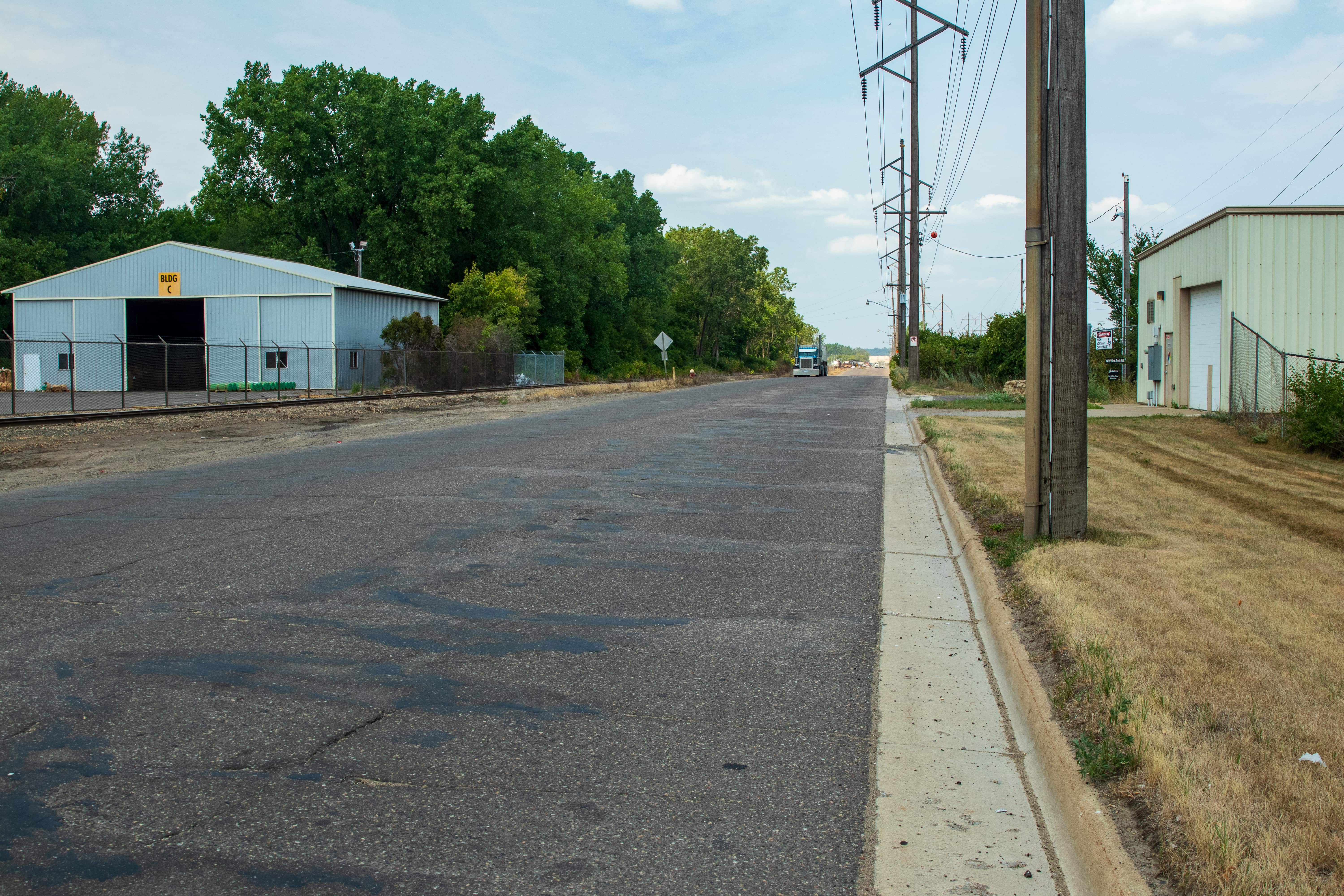
Red Rock Road is among the oddest streets in St. Paul. The southernmost point in the city is on this street, where it shares a border with Newport. In effect, Red Rock Road and the land around it is a peninsula surrounded on three sides by the Mississippi River and some of its backwater channels.
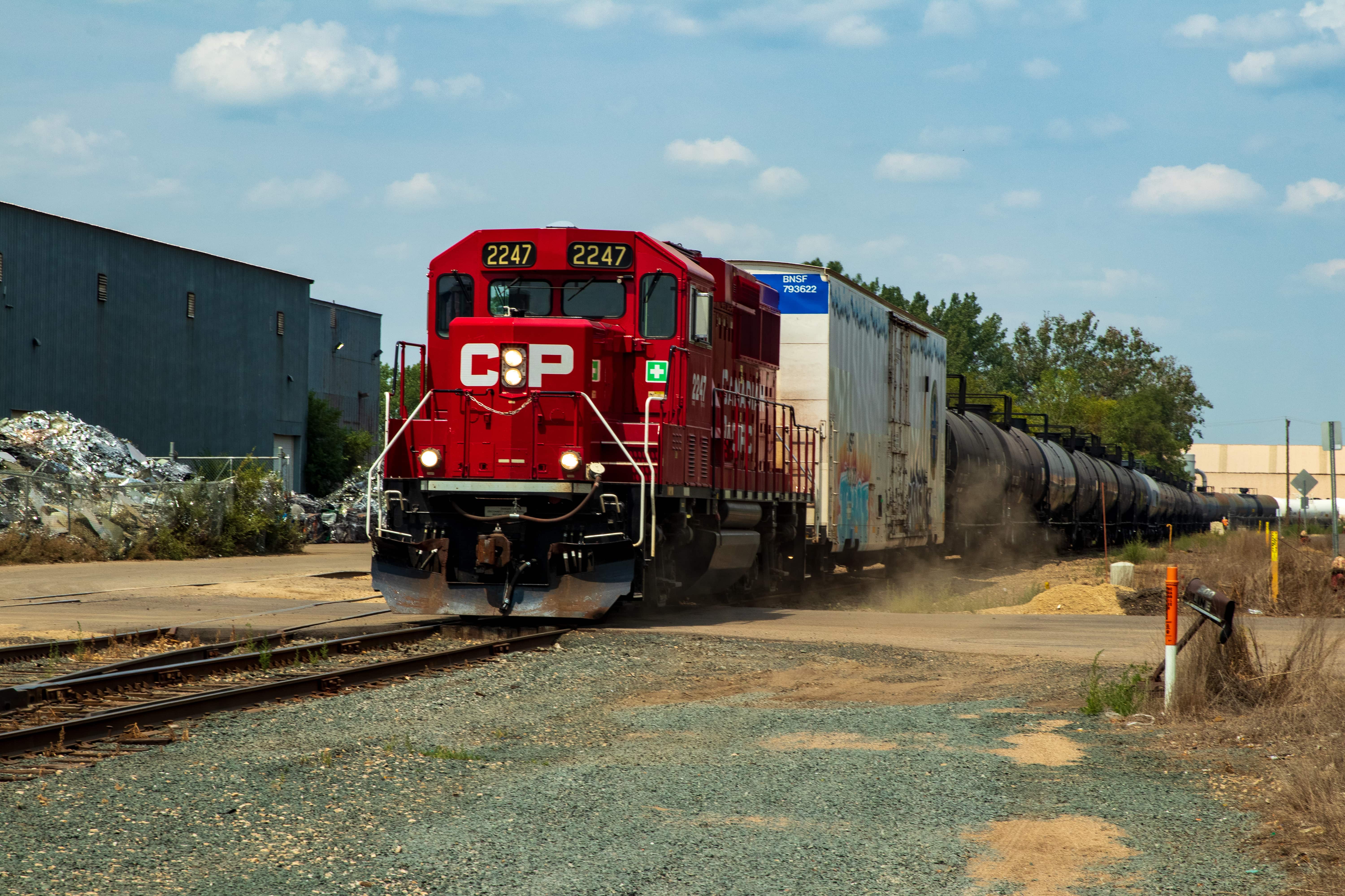
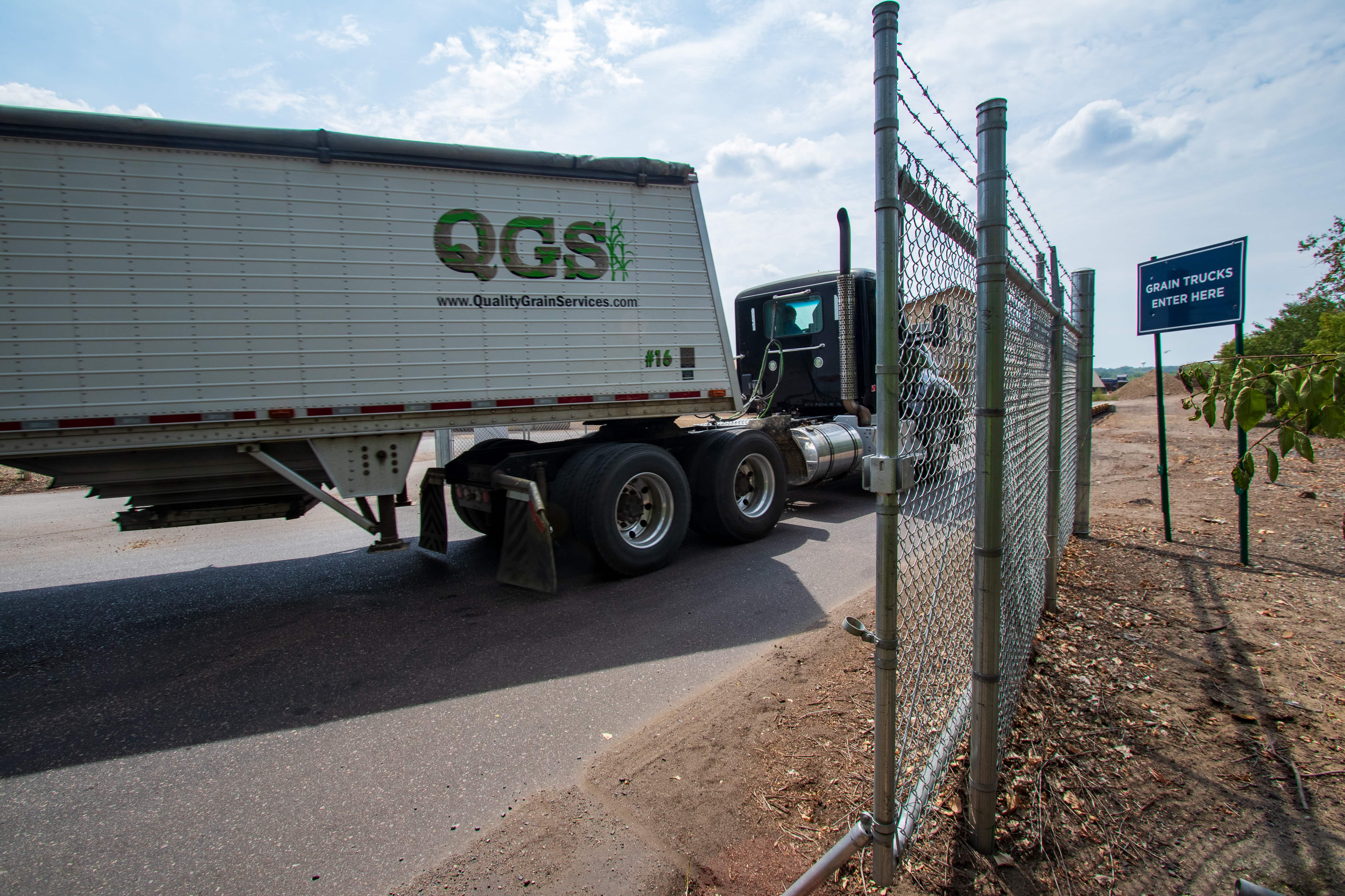
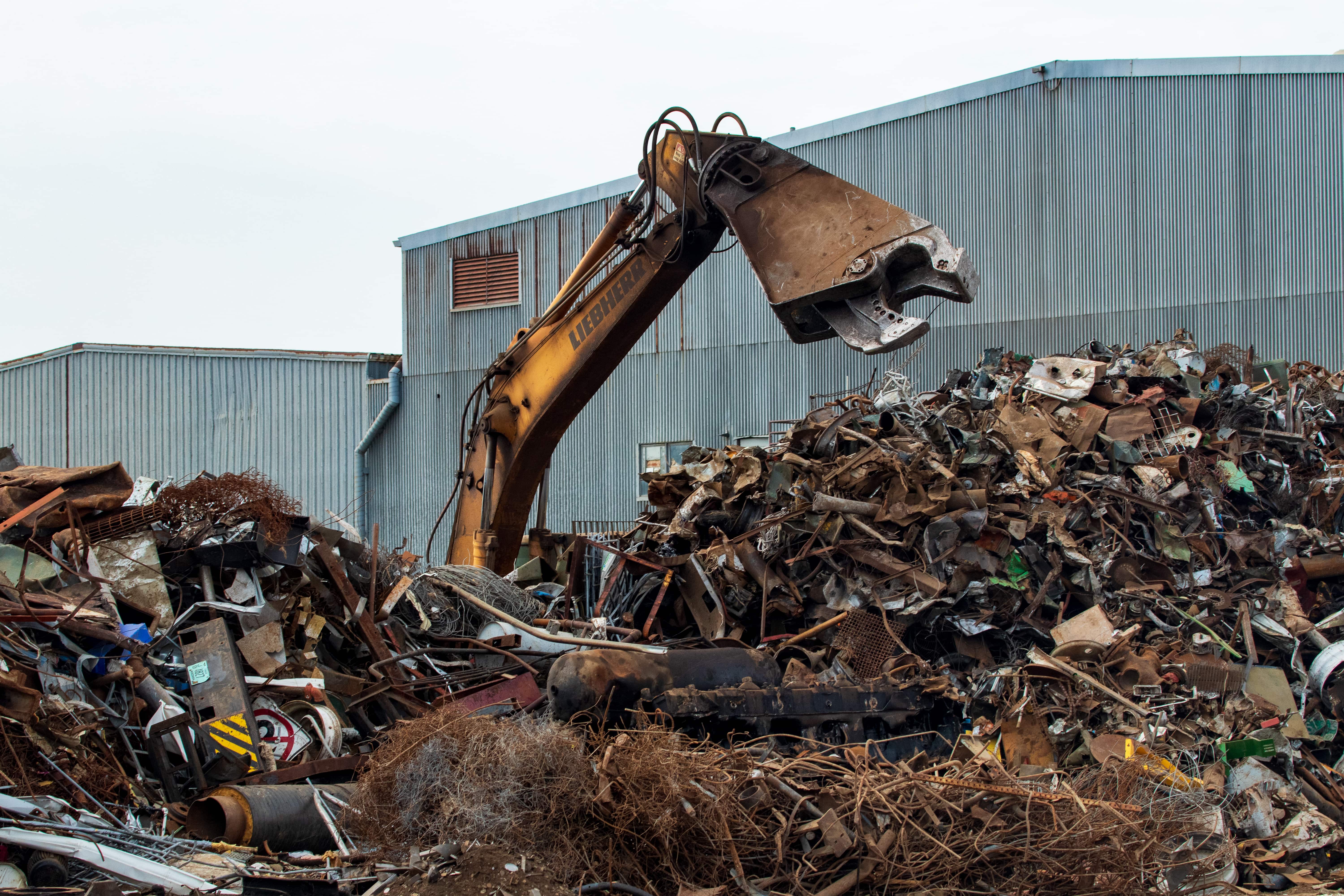
Second, St. Paul’s section of Red Rock Road is nearly two and a half miles long, but you’ll find no houses, apartments or residential structures of any sort. It is heavily industrial with businesses that include metal recycling, grain shipping, chemical processing, an asphalt plant and more. Third, there is a T-intersection where all three streets are Red Rock Road.
A third of a mile farther south, I was back in St. Paul at a most interesting intersection, where Red Rock Road meets Red Rock (west segment) and Red Rock (east segment, previously Stinchfield Avenue).


1.8 million tons of commodities are moved each year on Red Rock Road.


Clearly the termination of Red Rock Road but not of my exploration. The alluring path beyond the cement and steel barriers meant my reconnaissance would continue on foot.


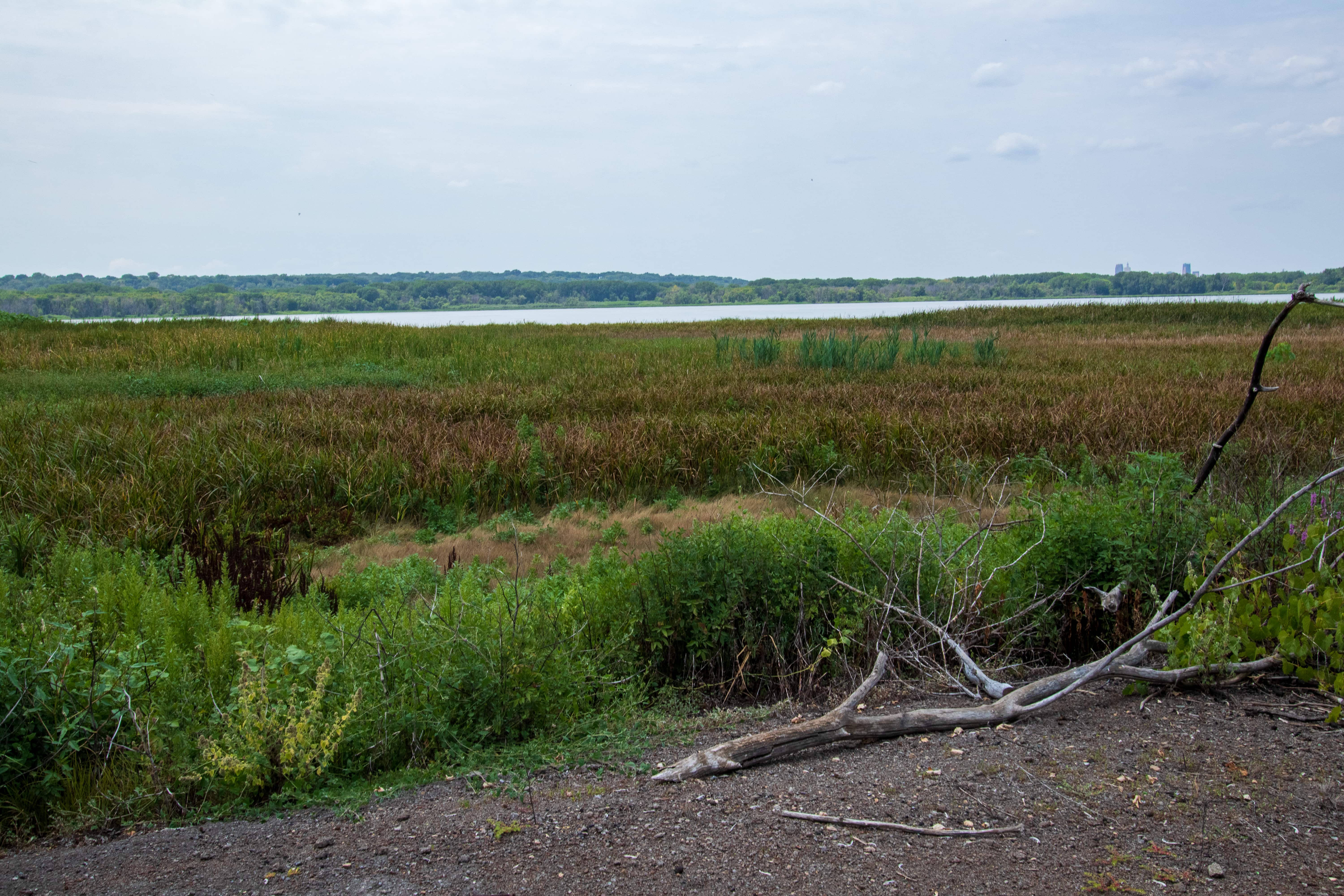
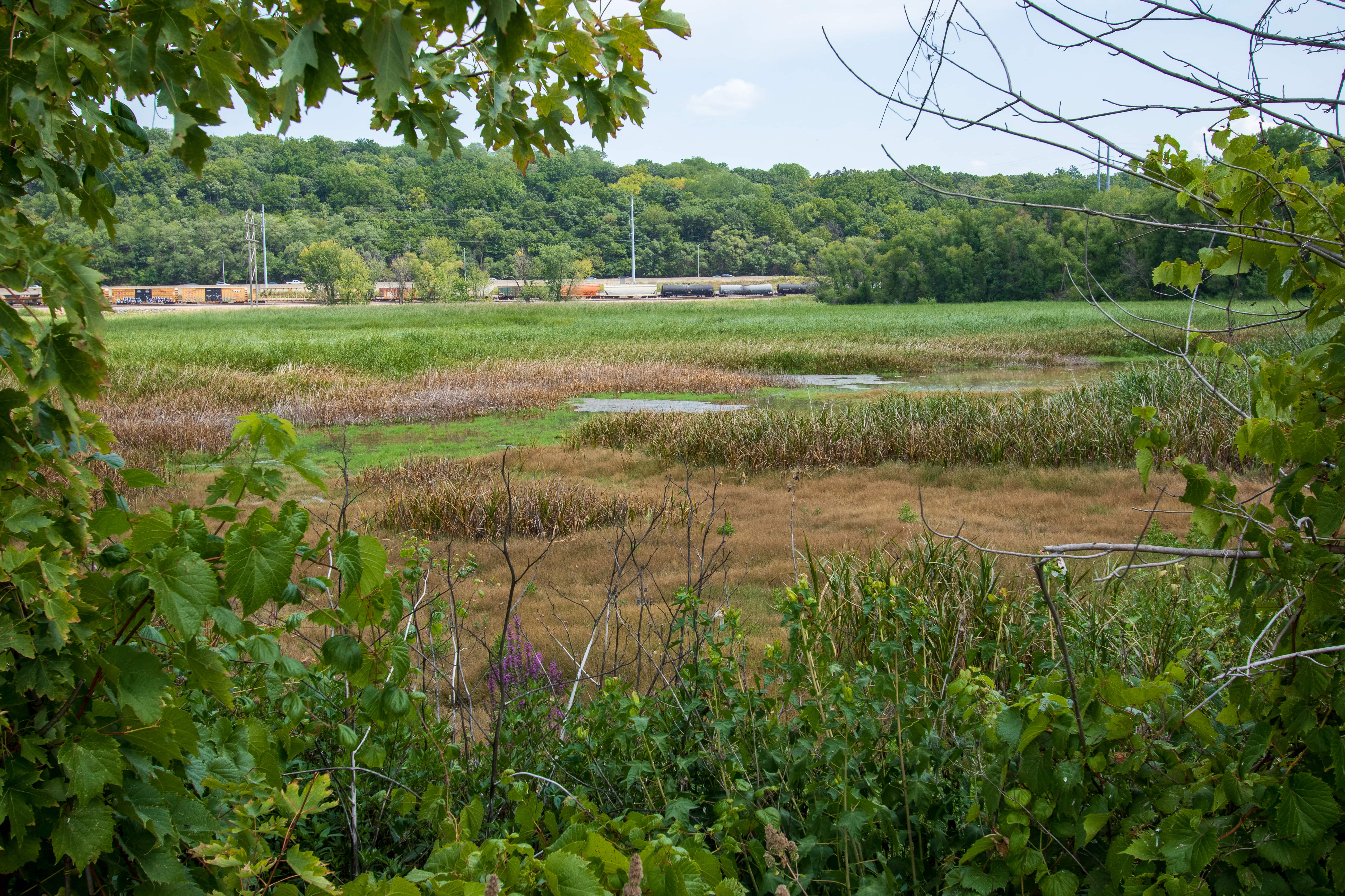
Without waders I couldn’t traipse any farther. So, with my entrée into the southern part of Pig’s Eye Park complete, I jumped back on the bike and headed southbound, retracing the journey on the western leg of Red Rock.

I can’t explain why I didn’t notice this on the ride north, but Red Rock Road’s pavement was problematically packed with a plethora of potentially painful and perilous potholes. Turns out I was far from the only person to notice. According to the Saint Paul Port Authority, Red Rock Terminal tenants agreed to pay for the mill and overlay (resurfacing) of the road, scheduled for late 2021.* Tenants will have up to 10 years to reimburse the City of St. Paul for their share of the $1.2 million project.

This may not seem like a big deal but one tenant told the Port Authority the poor road condition is the top complaint of its customers. This tenant added he believed Red Rock Road had not been repaved in 50 years!


Upon returning to the intersection of the three Red Rock Roads, I rode on the east segment of the road toward the Gerdau Steel plant. The eastern section of Red Rock serves only Gerdau and is posted as private. I didn’t let that impede my travels.

This road confounds Google maps, labeling it as Stinchfield Avenue but listing the address for Gerdau Steel as 1678 Red Rock Road. Several old city maps also list it as Stinchfield Avenue.

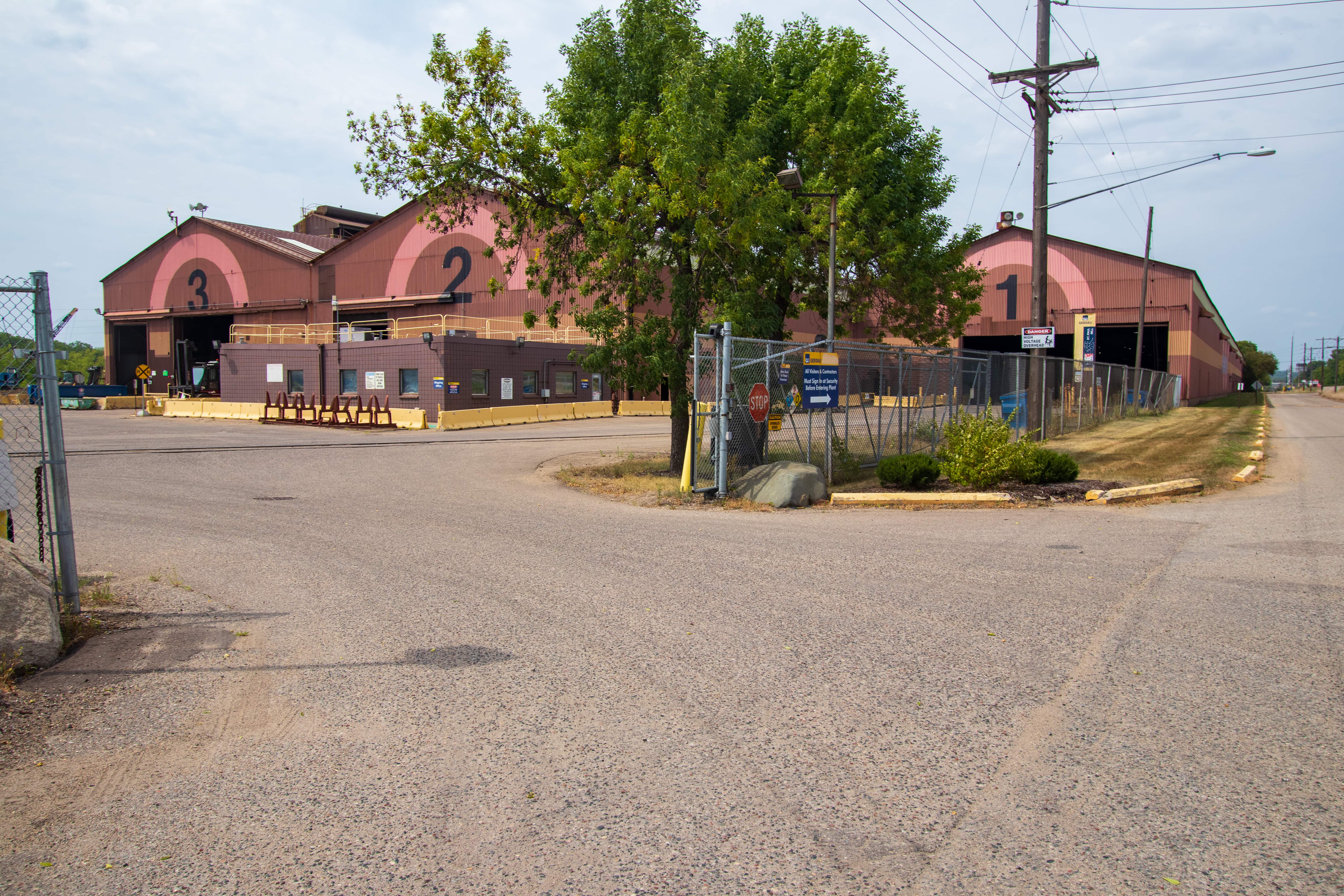


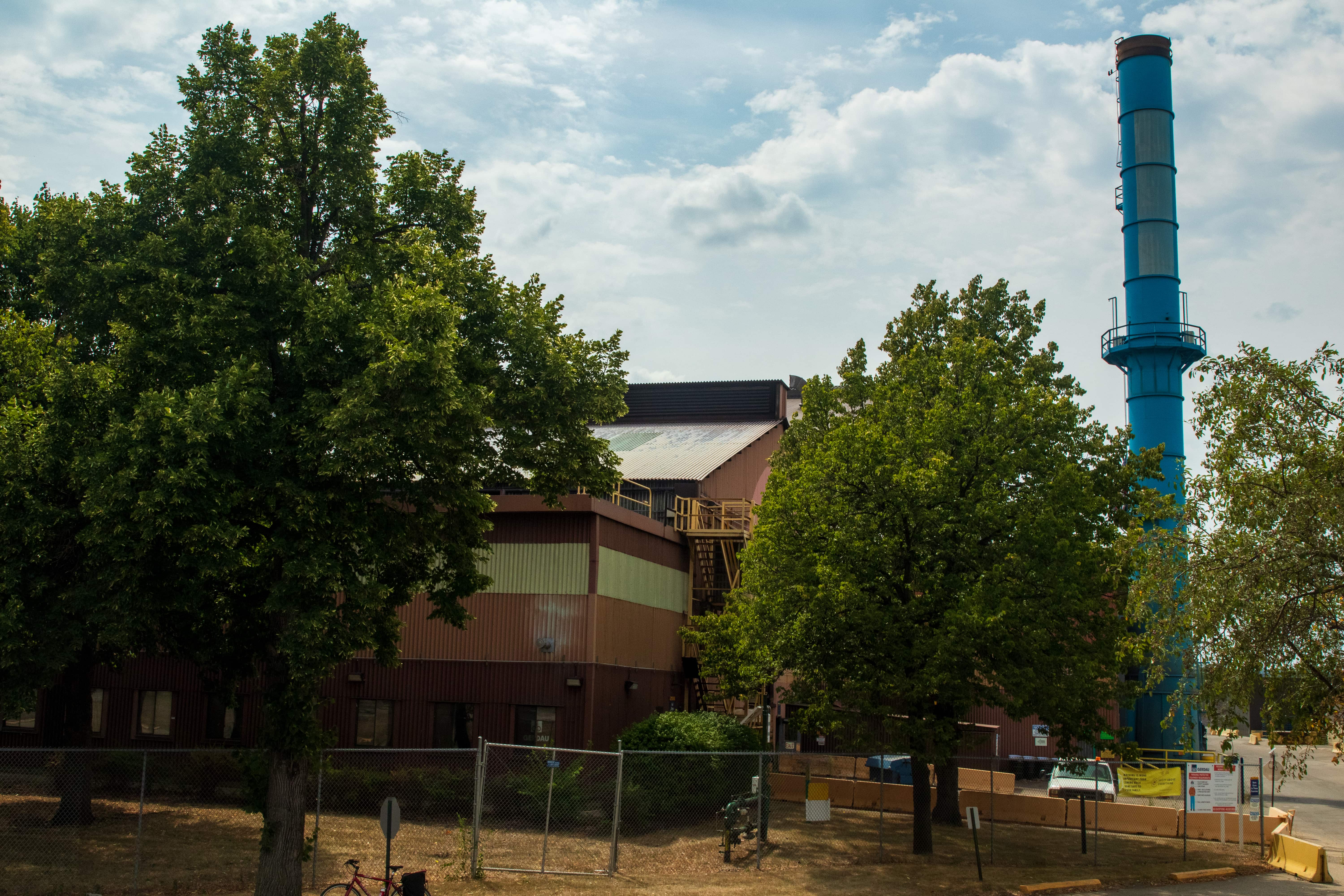


The parking lot is nearly empty and Building 1 strikingly quiet because 222 employees were laid off in 2020. Gerdau closed the melt shop, which created molten steel, and the rolling mill, which produced sheets of metal. Now only about 60 workers remain, in the steel finishing facility. That’s why the south end of the plant property looks like a Rust Belt city during the height of the 1980s steel industry collapse.


Once back on Point Douglas Road (on the east side of Highway 61) I paused for one final, and ultimately unsuccessful, attempt to capture the immense size of Gerdau. After that I rode pretty much straight home, except for a couple of stops to catch my breath and a quick detour to pick up a sports drink.

Footnotes and Postscript
* A crew completed the mill and overlay of Red Rock Road west the first full week of November 2021.
**If you do want to peek at the entire Gerdau plant, you may, thanks to the power of Google Earth.
In response to several questions I posed via Instagram, Gabrielle responded with voice recordings of the details and her thoughts on the remainder of her odyssey.

Gabrielle accomplished her cross-country journey in early October. Her 4,200-mile ride ended in Bar Harbor, Maine and profoundly affected her, mentally, physically and spiritually. She called the trek “reinvigorating” and added, “I learned so much about myself. I learned about what my body can do. I learned the power of my mind.”

Gabrielle went on to say, ”There’s a zest for life that I’ve never tasted before that. It really enlivened and invigorated my soul in such a deep, deep way.”
Liliana and Gabrielle did reunite, in Sunbury, Ohio, just northeast of Columbus. When they resumed the ride, Gabrielle mentioned she felt a different energy and became worried their time together would fracture their friendship. Happily, the rest of the trip was “super, super fun” and they remain the best of friends.
I asked Gabrielle to describe herself, and not surprisingly, she offered a thoughtful and complex answer. “I’m a mixture of extroverted and introverted. I am curious. I can do hard things. I am confident. I am smart. I am real and down-to-earth. Some think I’m funny,” prompting a chuckle, and the acknowledgment that, “I can be goofy.” Her last word on this was, “I would consider myself a total babe.”
Gabrielle said she’s mulling what her next adventure will be but another long bike trip is a possibility. “Getting to Europe with nothing — no money, nothing but our bikes — and trading and working for everything we get. It’s an interesting idea we heard from these British guys who did it.”
Gabrielle continued her voice message by talking frankly about reintegrating into what she called her real world. “My mind was so excited and my body was so depressed. So extremely depressed. Very lethargic. It was really hard to get out of bed.”
Her body, said Gabrielle, went from biking 80 miles every day for three months to not biking at all and “not really knowing what kind of movement to do. It was really, really tough.”
Added Gabrielle, “I really wasn’t expecting that, but I guess it’s normal for people who do long trips to experience this post-trip blues in a sense.”
Happily, Gabrielle wrapped her message by saying, “I’m starting to feel good. I’m starting to get into more of a routine.”
Lastly, the map of this ride. Click on the map to enlarge it.