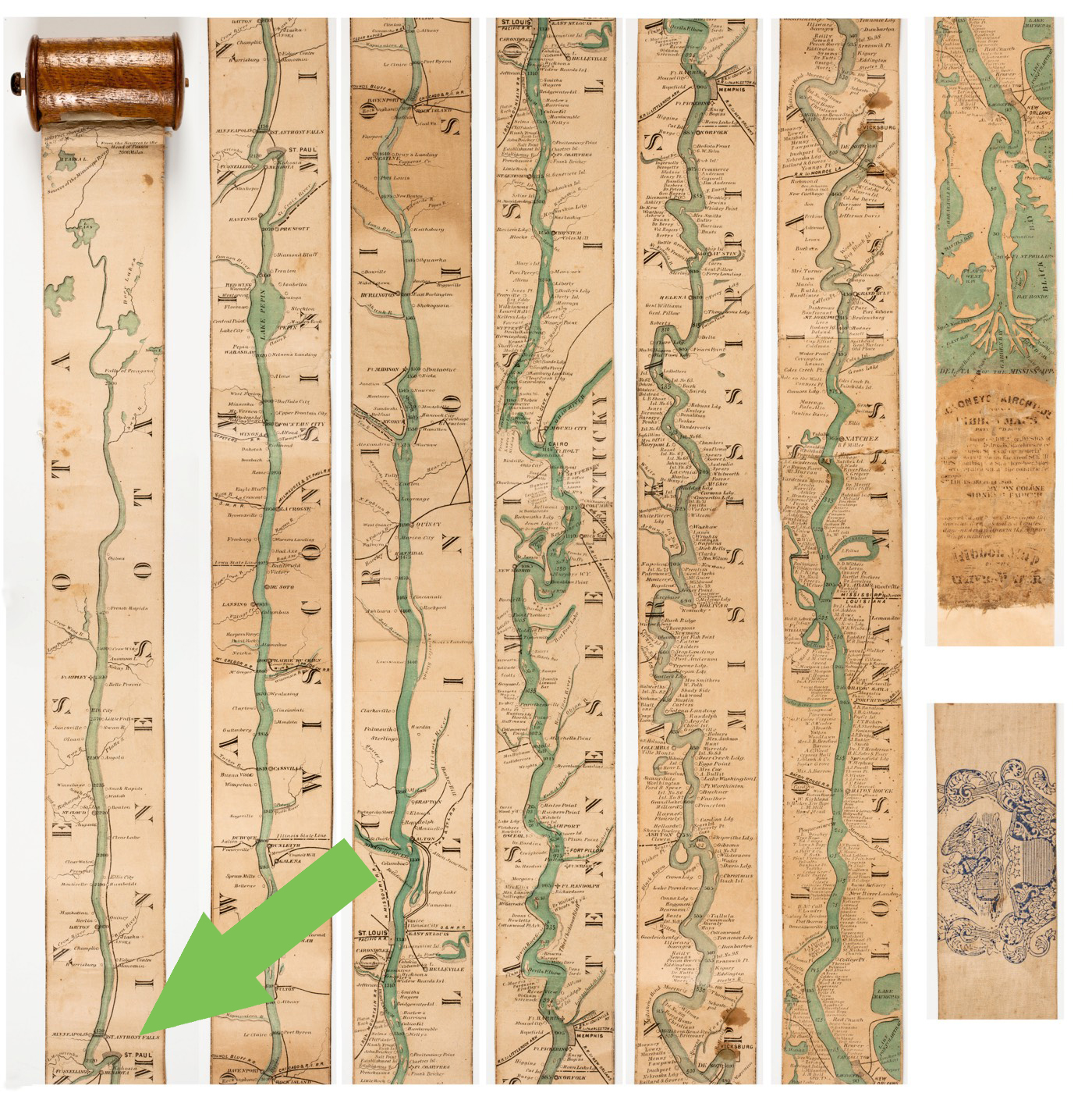
Via Kottke, here’s a cool and very old (!) map of the Mississippi River, which of course begins in Minnesota. It dates to 1866, before the railroad era, when the river was still the main route of transportation in the upper Midwest.
Here’s the whole thing with the Twin Cities marked:
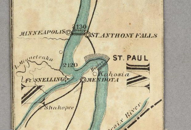
And here’s a close-up:
Jason Kottke describes the very long-and-thin map thus:
Representing the river in any detail presented a challenge for mapmakers wishing to provide maps to those wanting to travel along the river. In 1866, Coloney & Fairchild solved the problem by producing the Ribbon Map of the Father of Waters, a 2-inch wide & 11-foot long map that spooled up into a carrying case via a hand crank. From Nenette Luarca-Shoaf’s description of the map:
Coloney and Fairchild’s patented apparatus required that the single sheet be cut into strips, attached end-to-end, mounted on linen, and then rolled inside a wooden, metal, or paper spool (fig. 4). The resulting portability of the map was crucial because, as advertisements indicated, it was intended for business travelers, steamboat navigators, and tourists.
Check out the entire thing and zoom around at the David Rumsey Map Collection.