
Visiting neighborhoods in alphabetical order generally means jumping around, often to quite different areas. But the Hale neighborhood is due east of Fulton (where I last walked), so I experienced some definite continuity. Not that the two neighborhoods are contiguous: Lynnhurst, Tangletown, and Page intervene. But the mere fact of being equally far south implies the neighborhoods have a similar character. Both are at the southern extremity of the streetcar lines, both were developed in the latter decades of the streetcar era, and both have a similar mix of housing styles. That said, the two also have distinguishing characteristics. Fulton is influenced by its adjacency to Edina, Hale by its adjacency to Lake Nokomis. And of course there are the individual particularities that distinguish each block, each building, each bush.
Hale is bounded between Chicago Avenue on the west and Cedar Avenue on the East, extending south from Minnehaha Creek to 55th Street. As shown in the route map, I initially concentrated on the northern part, generally as far south as 52nd Street, with the remainder left for a second day. The light blue tint indicates the entire neighborhood, the dark blue line is my main loop, and the red lines are forward-and-back spurs off of it.
Starting on Chicago Avenue at 51st Street, I briefly viewed the creekside parkland and walked to the midpoint of the bridge so as to reach the neighborhood’s northern border. Then I did an about-face and walked as far south as 53rd Street before doing a second about-face and returning to 52nd Street. Of these two-plus blocks of Chicago Avenue, I was particularly interested in the storefronts in the 5200 block.
The first I saw, on the southeast corner with 52nd Street, looks much like the streetcar-corner retail strips from the 1920s that I’ve seen in other neighborhoods. What’s notable about this one is it’s small size, rendering the word “strip” inapt. Here, there is just the corner door and its associated windows, then one more door-and-window unit. The building fits the standard repeating-unit design, but without any actual repetition.
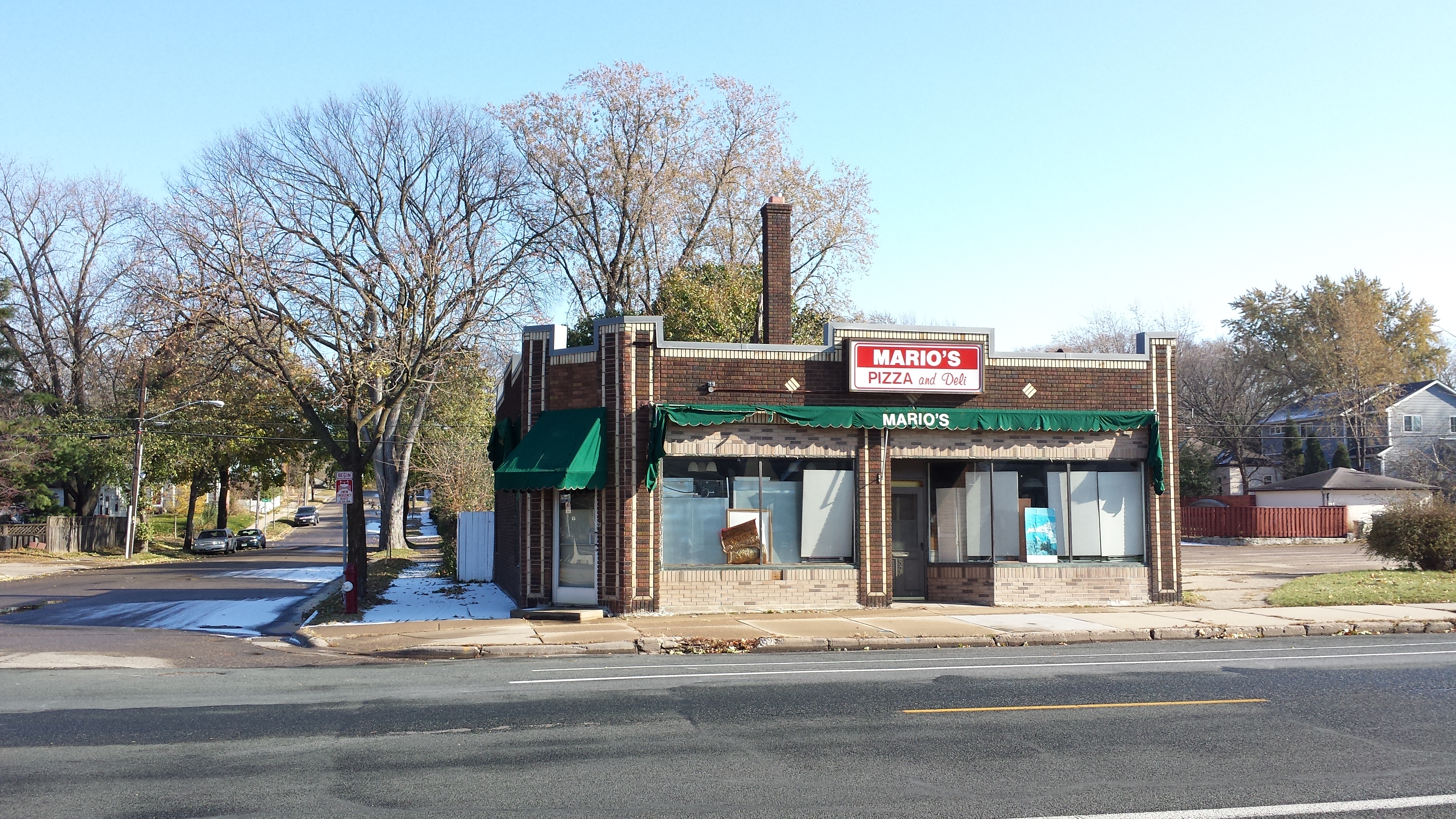
5201 Chicago Ave. (1928)
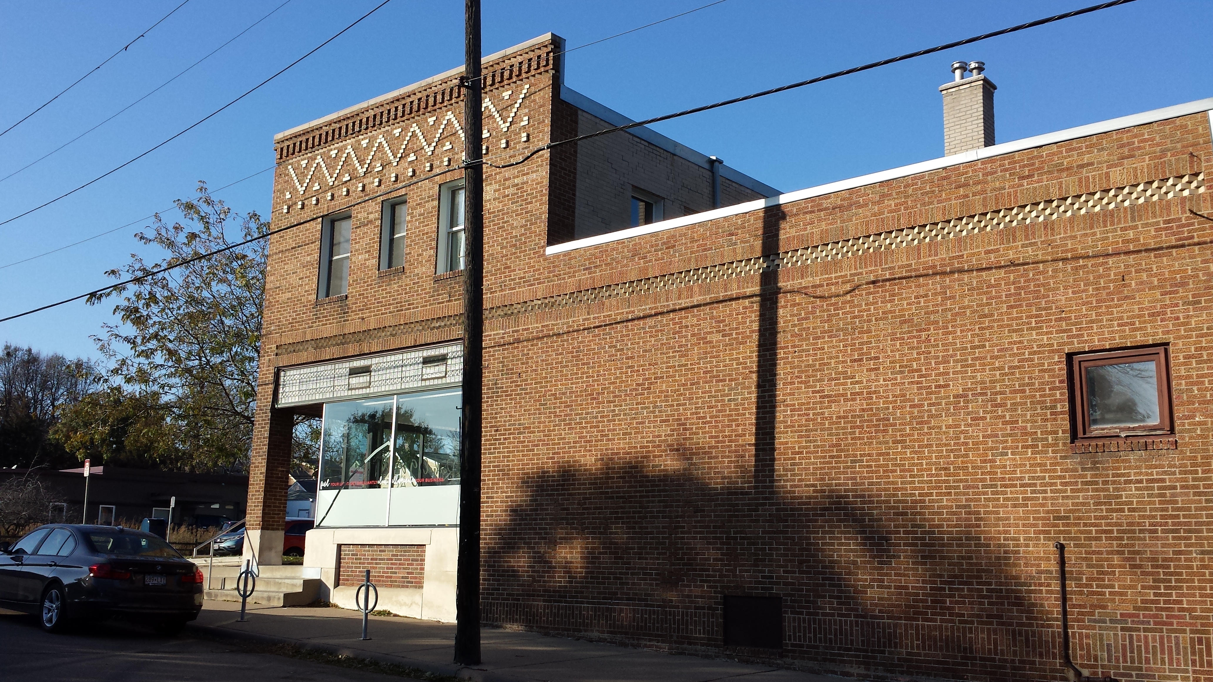
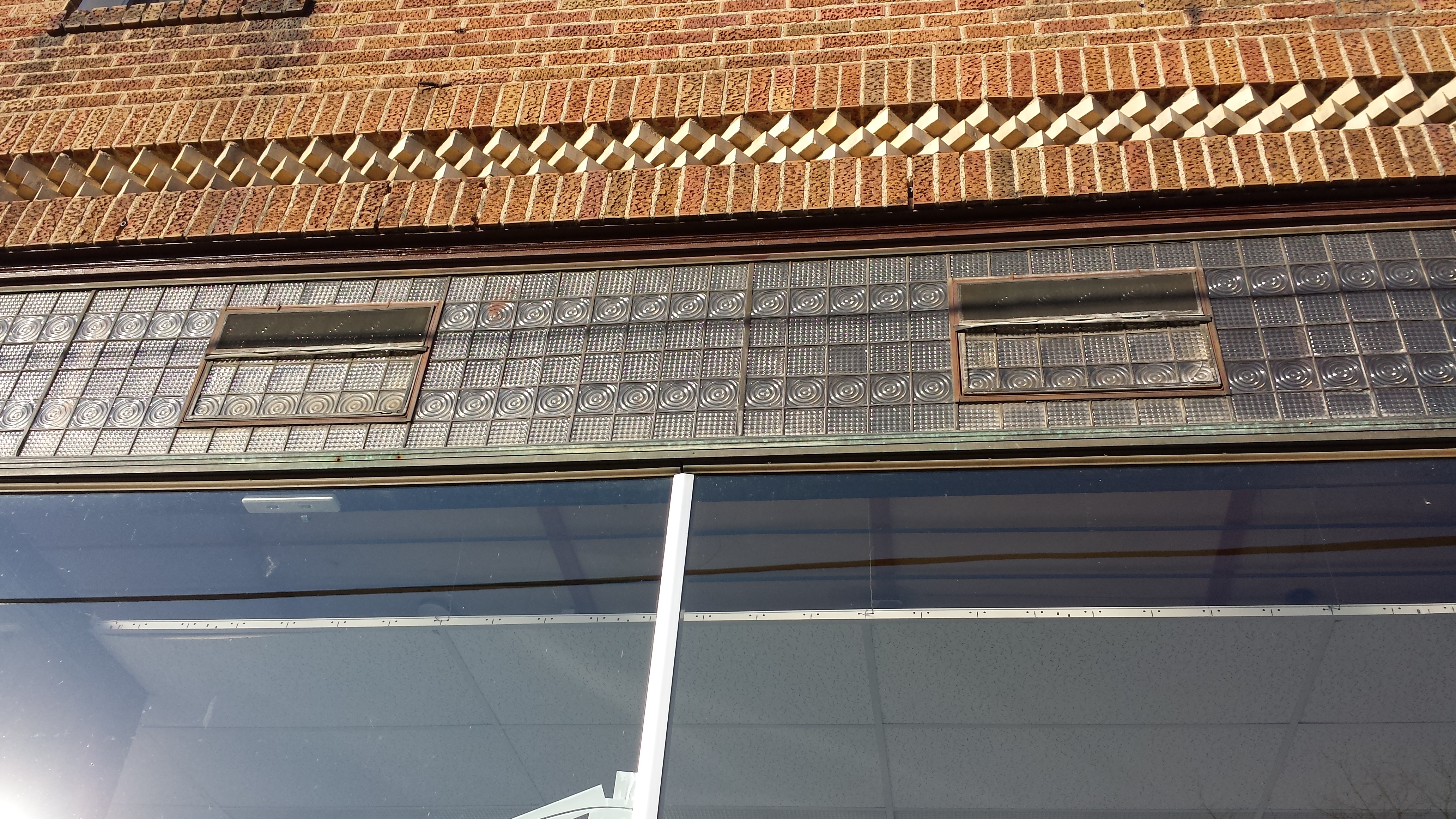
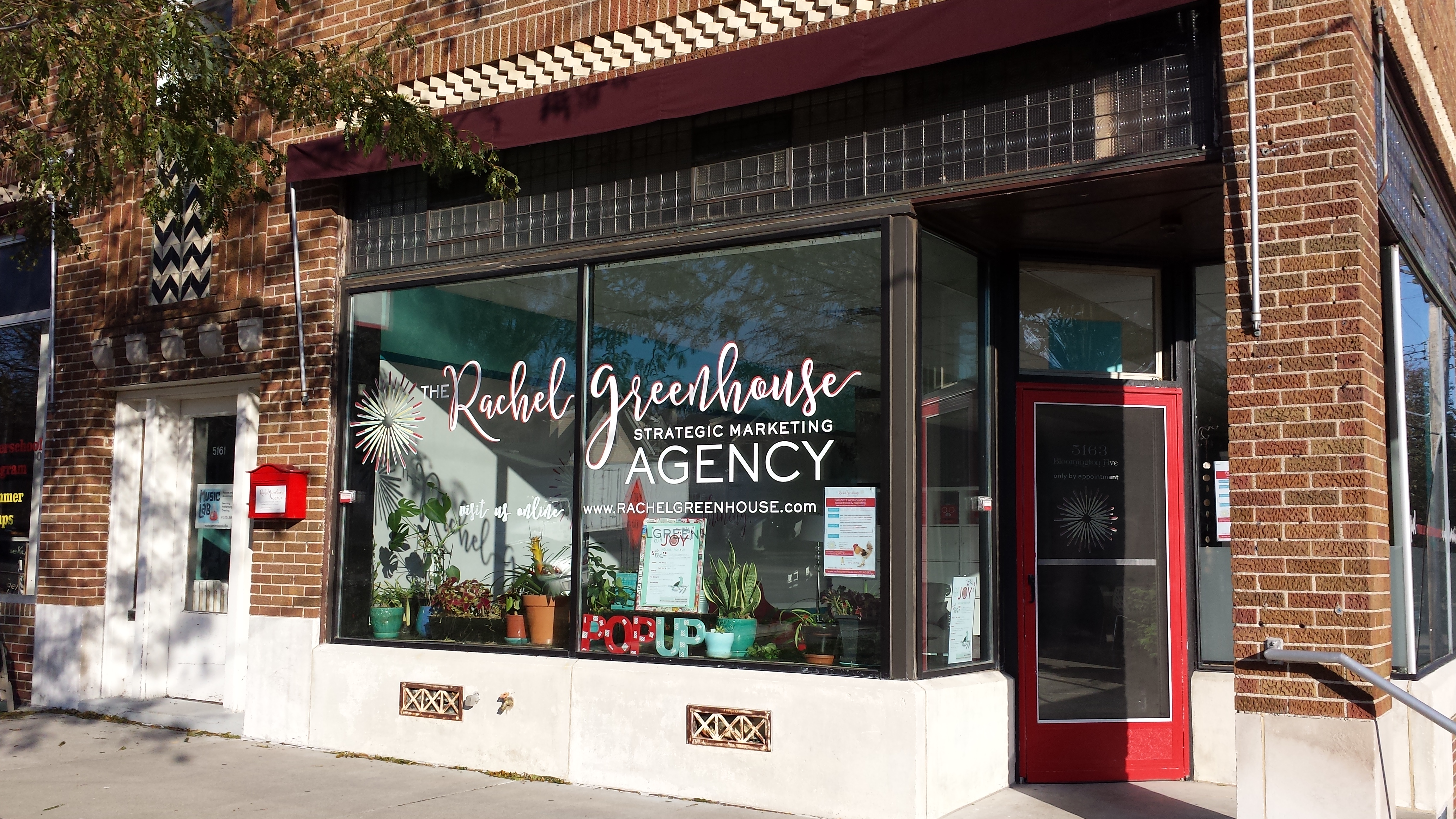
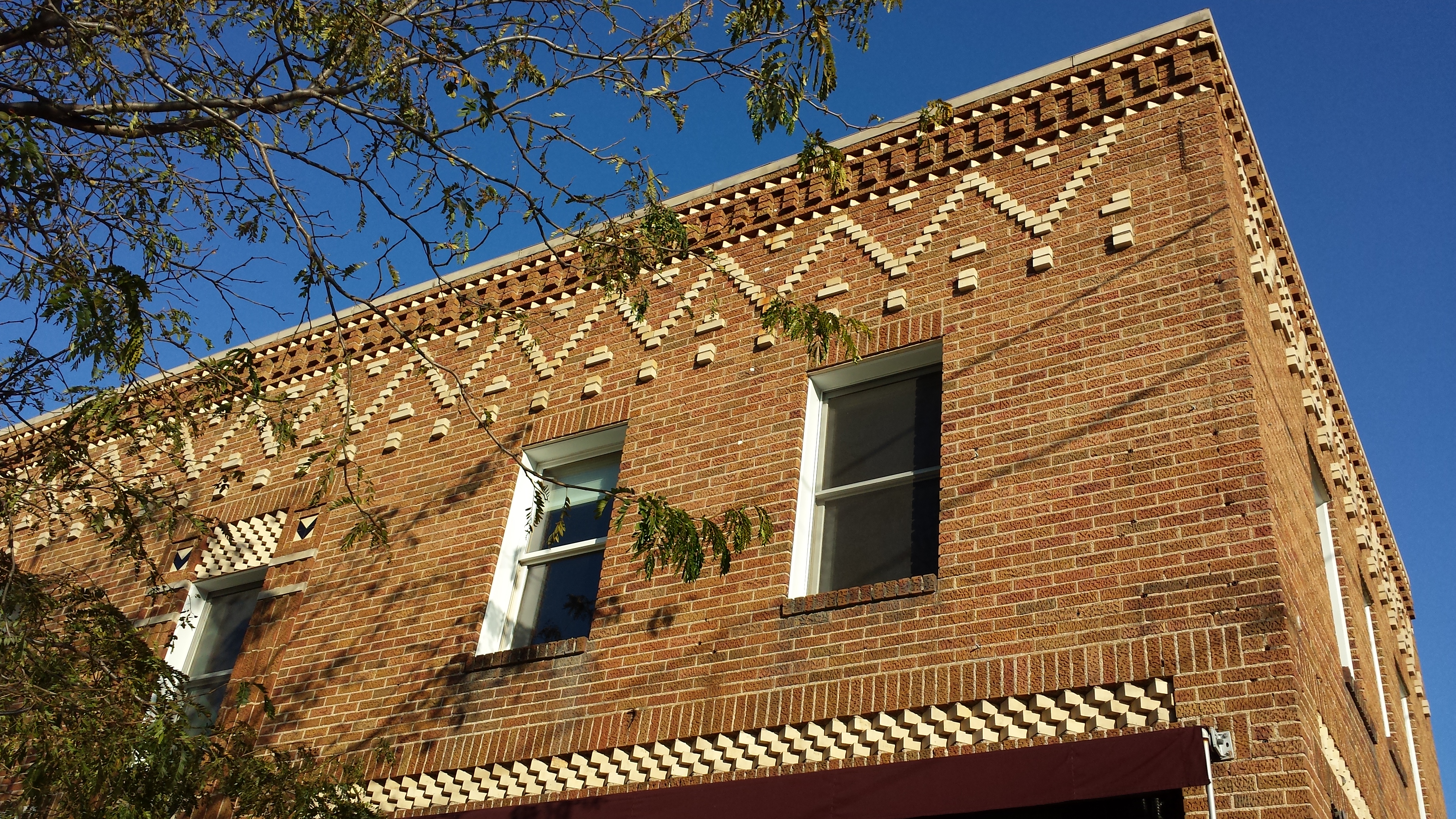
The southern end of the block has a group of four adjacent but architecturally distinct storefronts. The one on the 53rd Street corner and the one to its north stand out for their sharp signage, whereas on the most northerly of the group, my eye is drawn to the decorative parapet cap.

Terra Goods, 5257 Chicago Ave.

Sewell Photography and Just Bloomed, 5255 Chicago Ave.
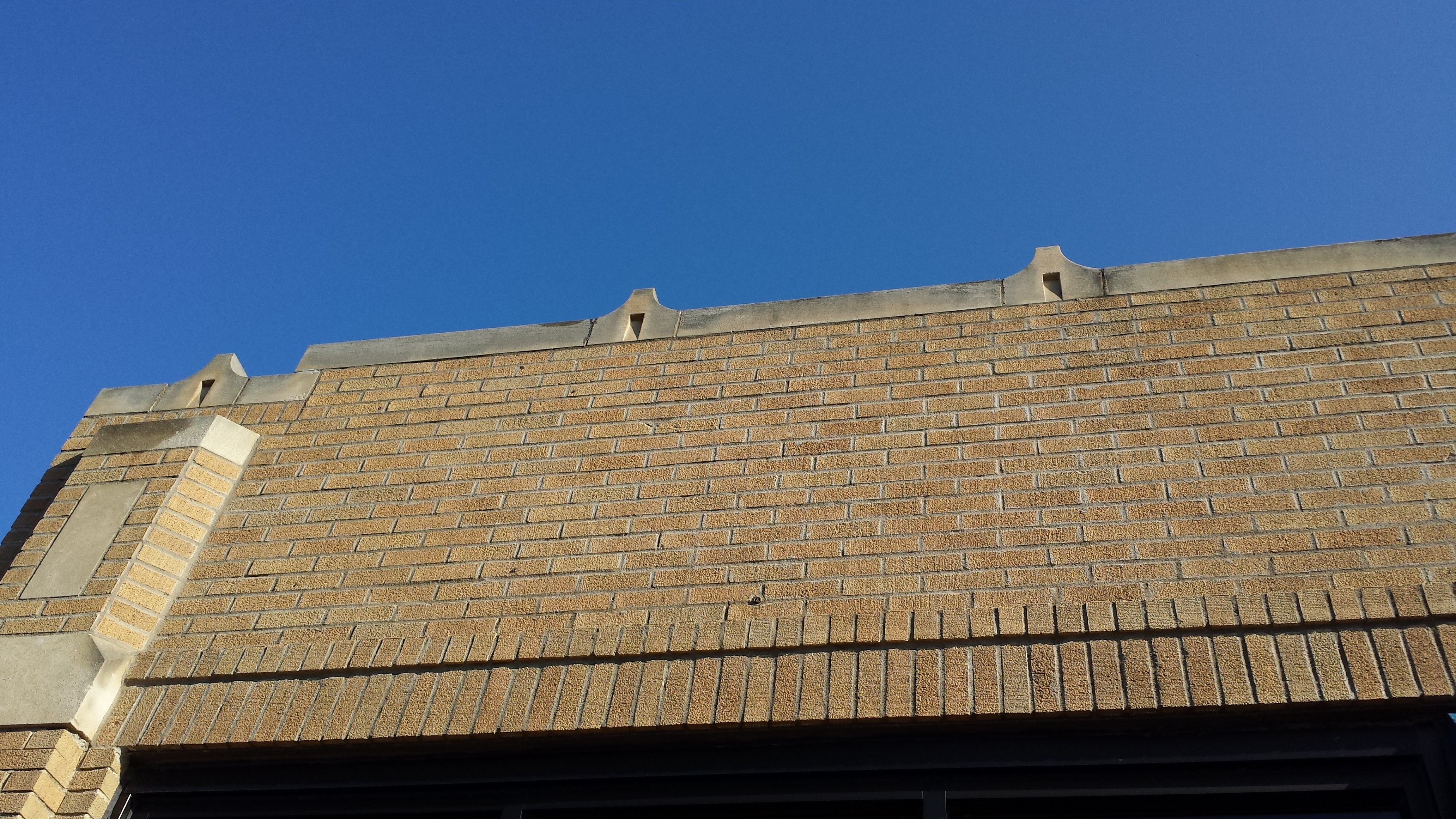
5249 Chicago Ave. (1932)
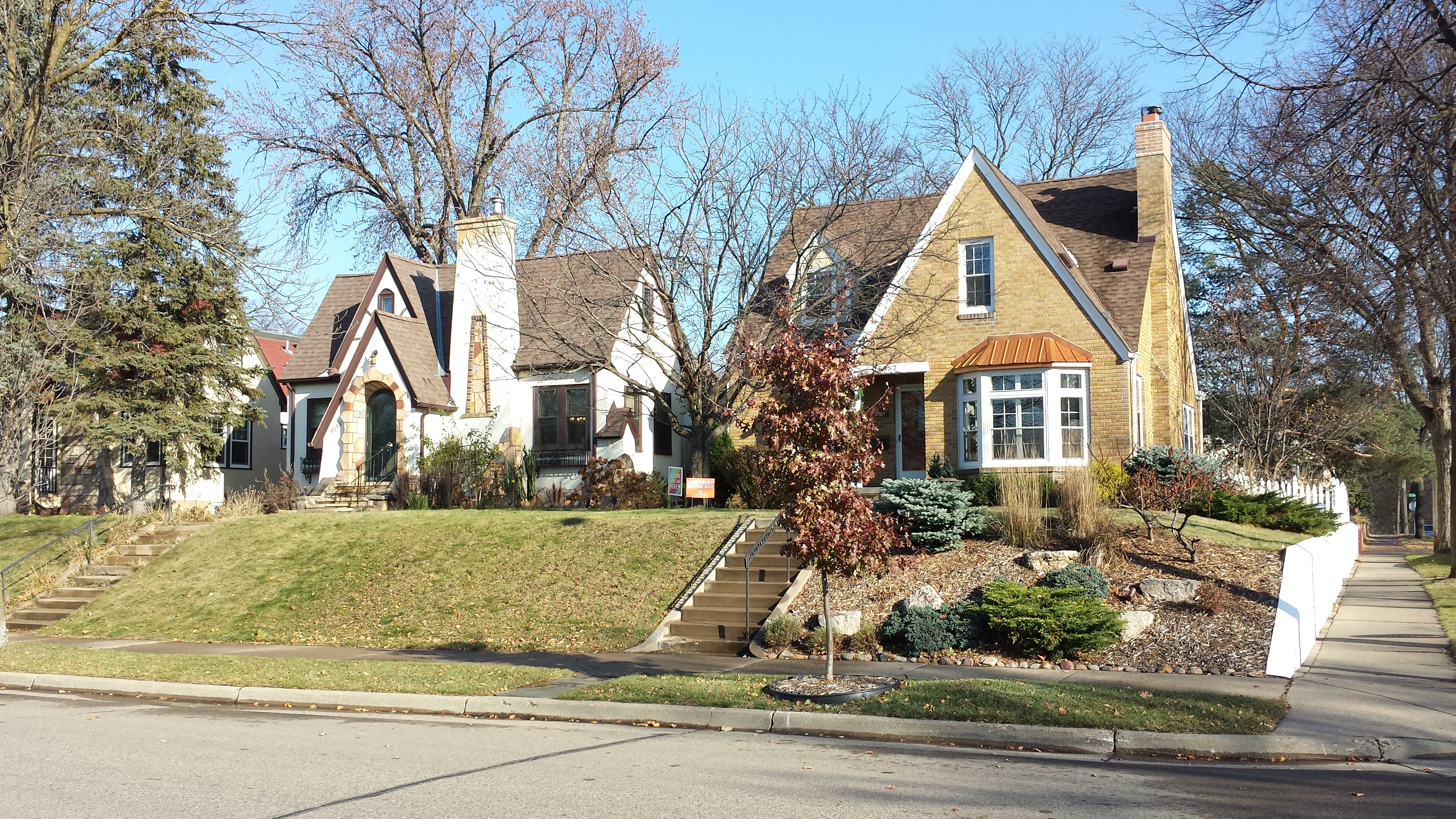
Turning east on 52nd Street, I first did a couple zig-zags between 52nd and 51st Streets, then settled onto 51st for the bulk of my trip to the eastern edge of the neighborhood. I passed predominantly single-family detached houses from the 1920s and 1930s, styled to look as though they were in an English village. As usual, I was as interested in the grounds as in the buildings. For example, on the northwest Corner of 52nd St. E. and 11th Ave. S., a boulevard planting included a seamless mixture of real and steel. A couple blocks further east, as the incline grew more steep, I was impressed by a retaining wall made out of sturdy rock-faced blocks of natural stone (except for the concrete cap).
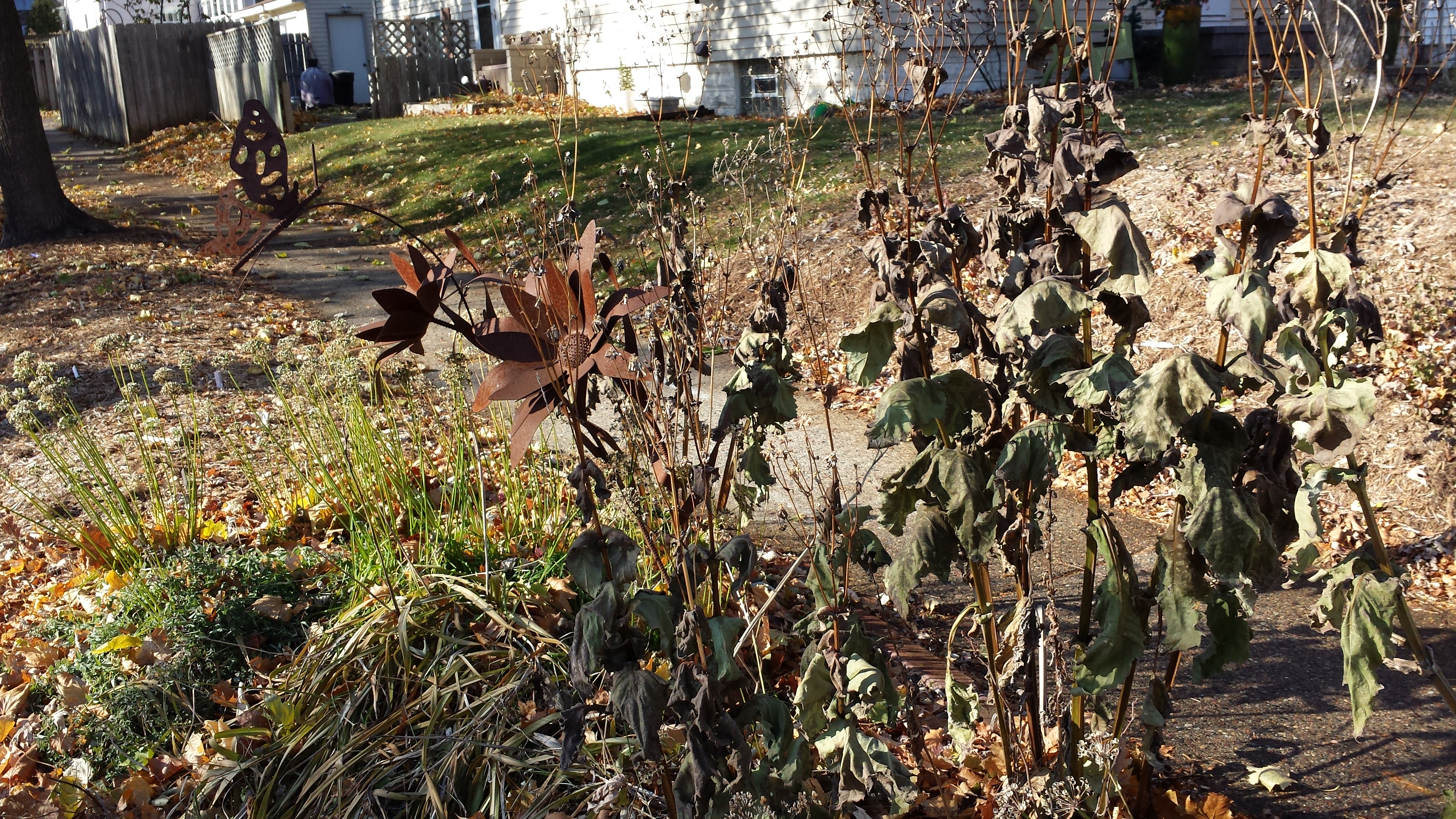
Boulevard Plants, Steel and Real, 52nd St. E. at 11th Ave. S.
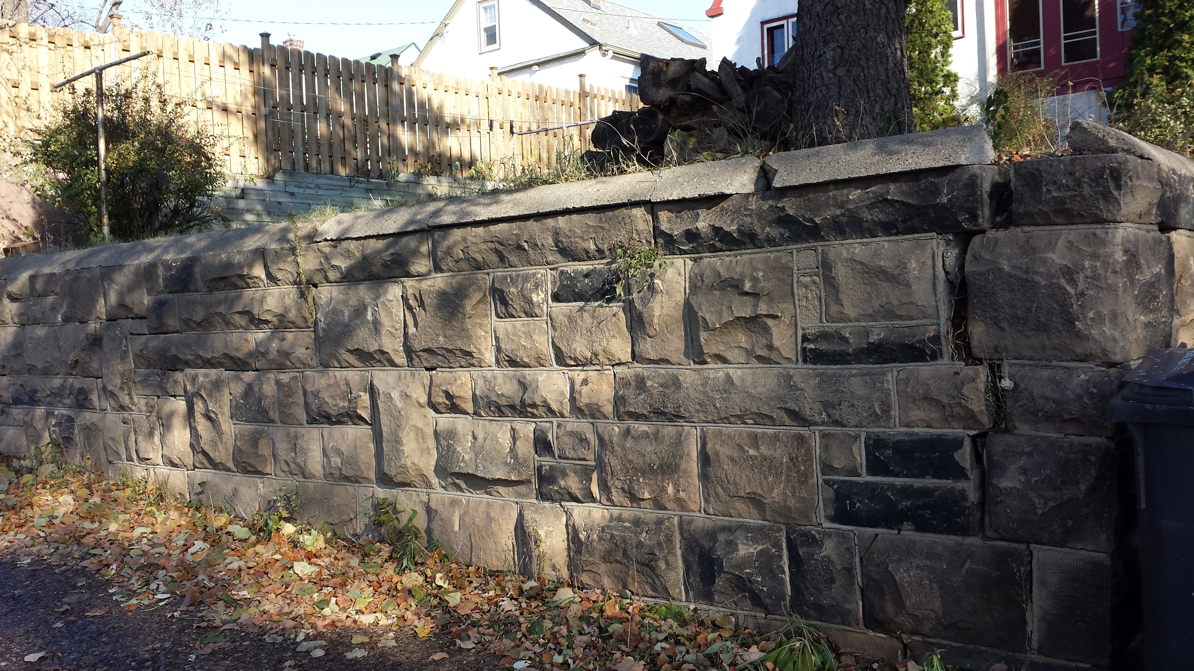
Retaining Wall, 5056 13th Ave. S. (Viewed from 51st St.)
5053 and 5057 13th Ave. S. (1929 and 1939)
Upon reaching Cedar Avenue, the route required a rather complicated succession of about-face and right-angle turns in order to cover Cedar, 18th, and 17th Avenues with their connecting streets. Eventually, though, I was headed back westward on 51st Street, ready to loop through Bloomington and 16th Avenues, then zig-zag on 15th through 12th Avenues.
On Bloomington Avenue, as earlier on Chicago and Cedar Avenues, I was able to go out over Minnehaha Creek on a bridge. The brightly lit trees reflected on the water, but ice rimmed the edges, perfectly capturing the experience of being out on a clear day as the season changes.
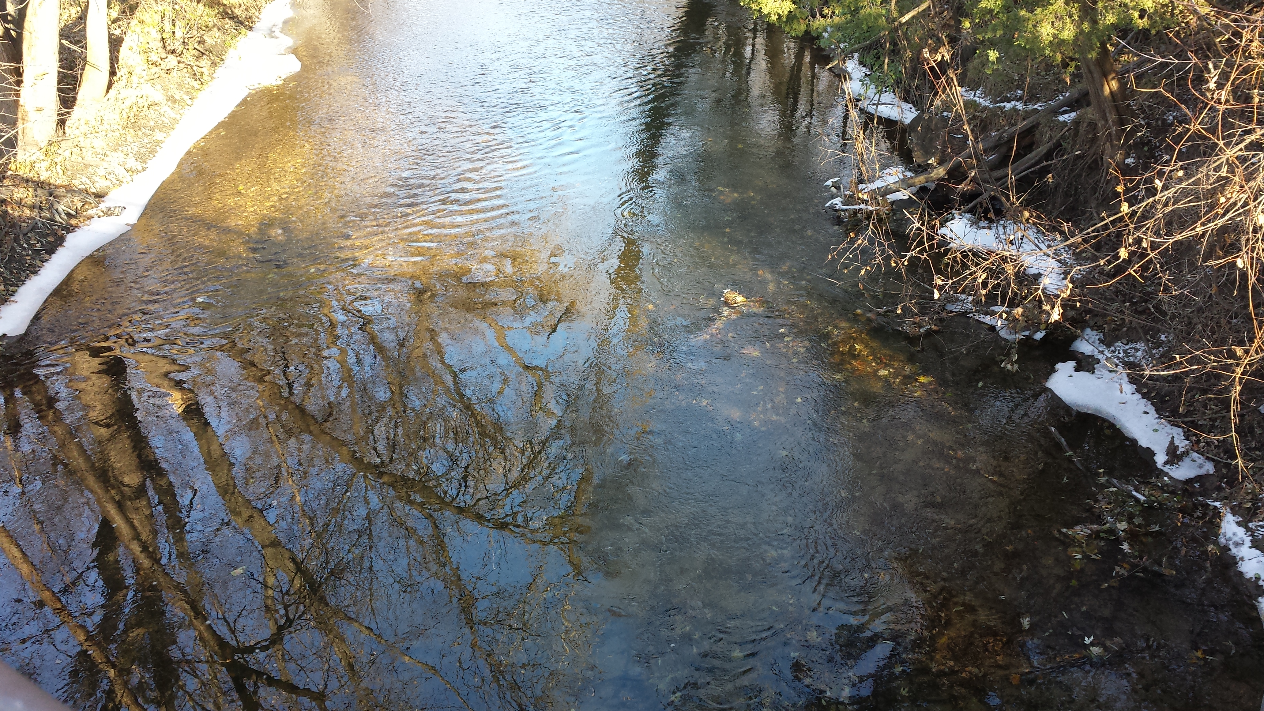
Minnehaha Creek at Bloomington Ave.
This Bloomington Avenue bridge also marked my one departure from city streets. Immediately adjacent to its southern end, a path leads to the east, bending slightly up the park hillside to connect with 16th Avenue at 49th Street. (In the area between Bloomington and 16th Avenues, the park normally confined to the creek banks extends south to 50th Street, notably including tennis courts.) At that corner, opposite the path’s eastern terminus, a multicolored stack of stones towered impressively on a house’s front lawn.
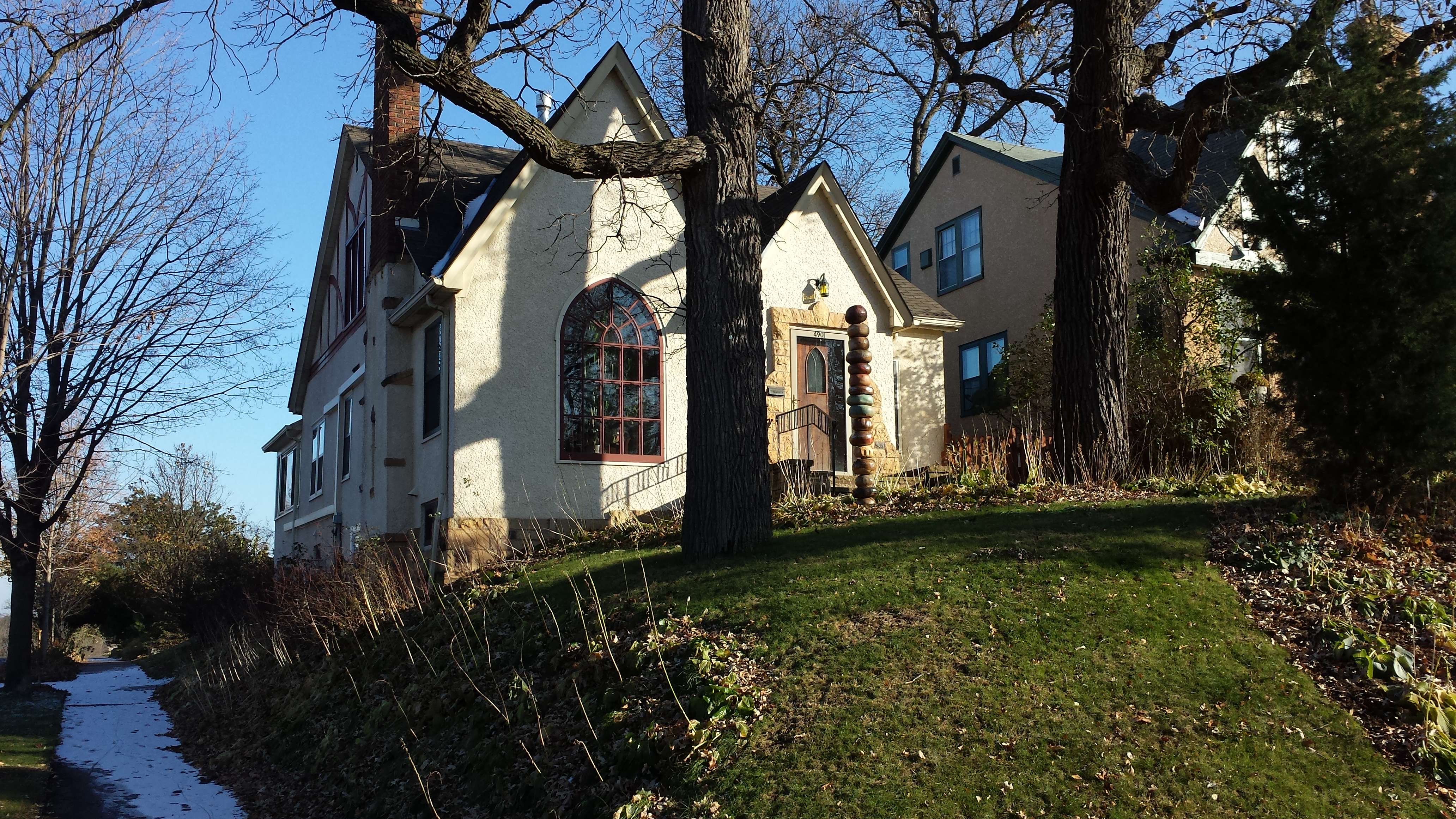
Stacked Stones, 4901 16th Ave. S.
At the southern end of the 16th-Bloomington loop, as I turned from 52nd Street onto Bloomington Avenue, I encountered another commercial node. On the southeast corner, Hale Family Dental occupies a modern, post-streetcar building that opens out to two stories in the back, thanks to the hillside.
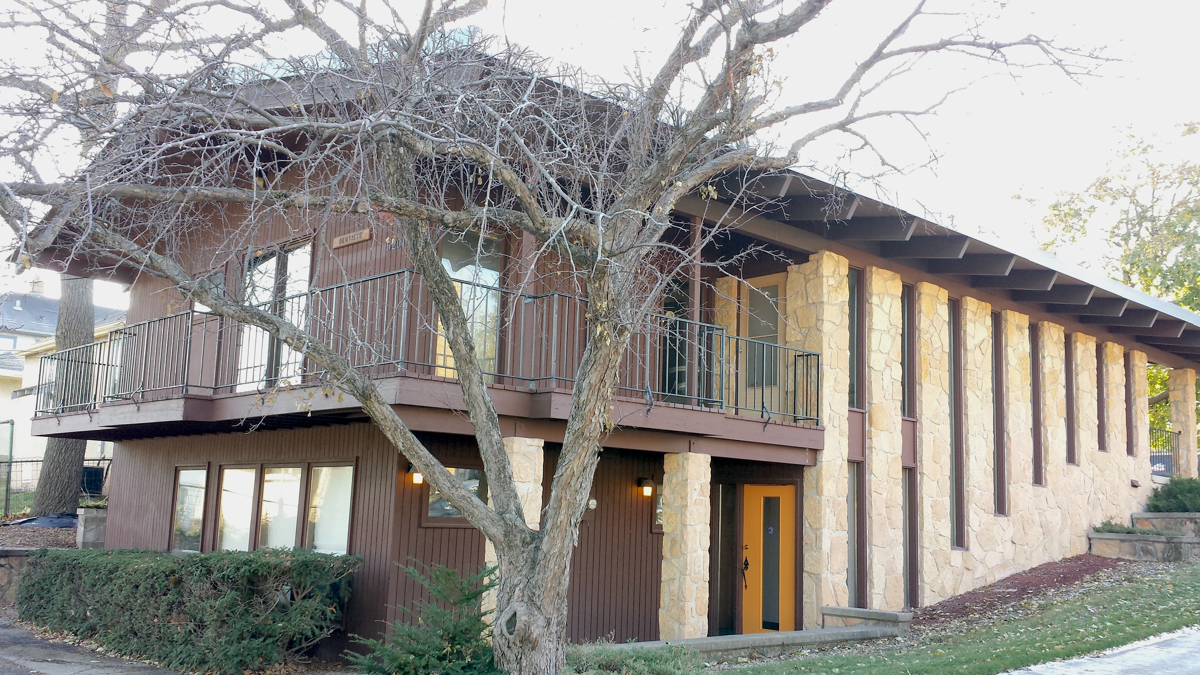
Hale Family Dental, 5201 Bloomington Ave. (1968)
On the northeast corner, by contrast, I could see the building was older and more ornate even before I was abreast of its main portion, an impression that was reinforced once I could look closely at the windows and facade.
5155 Bloomington Ave. (1929) from 52nd St. E.
Windows, 5155 Bloomington Ave. (1929)
Lower Facade, 5155 Bloomington Ave. (1929)
Upper Facade, 5155 Bloomington Ave. (1929)
To the north, a building of intermediate age houses two Masonic lodges, Minnehaha Lodge #165 and Cateract Lodge #2. The datestone visible to the left of the entryway dates the building to 1954, which it translates as “A.L. 5954.” I learn something new every time I walk, in this case, that the Freemasons use an alternative year-numbering scheme, Anno Lucis. Like the Jewish calendar, it is intended to reflect the Biblical chronology of creation, but rather than using lunar months, it is synchronized to the ordinary Gregorian calendar with a fixed offset of 4000 years.
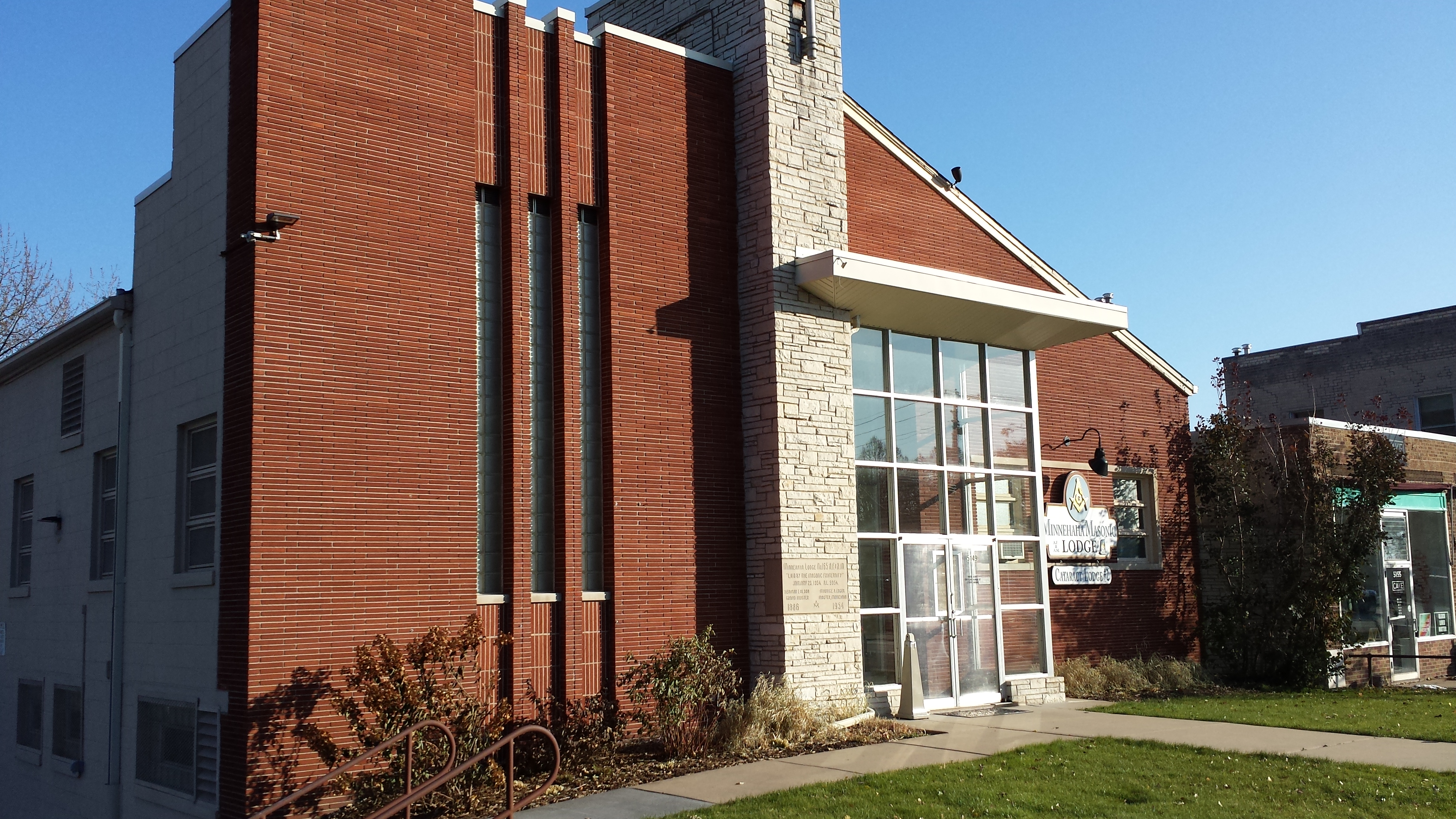
Minnehaha and Cateract Lodges, 5149 Bloomington Ave.
After returning to 50th Street on Bloomington Avenue and then walking the 5000 and 5100 blocks of 15th, 14th, and 13th Avenues, I encountered a church building on the northwest corner of 13th Avenue and 52nd Street. Historically the home of Edgewater Methodist Episcopal Church (more recently Edgewater Emmanuel United Methodist Church), it now houses New Creation Ministries Church of God in Christ (COGIC). The oldest part of the building dates from 1934, though there were later additions.
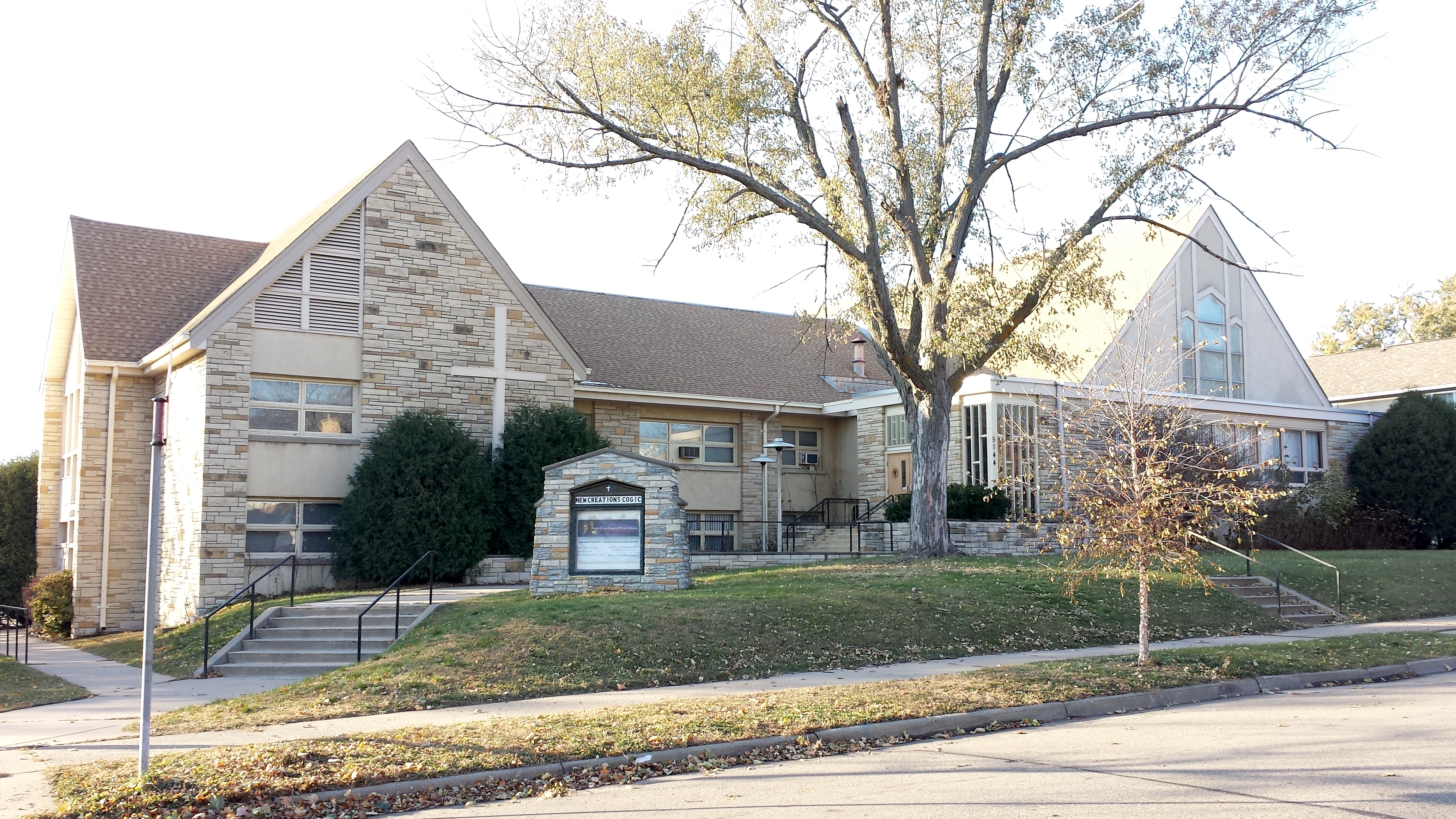
New Creation Ministries, 5144 13th Ave. S.
The next northward zig (or zag), on 12th Avenue, had the distinction of again ending with a bridge over Minnehaha Creek, the only one in this neighborhood that isn’t on an arterial, ex-streetcar avenue (Chicago, Bloomington, Cedar). Somewhat south of the bridge, one of the hillside houses on the east side of the avenue features a colorful mosaic lamppost. On the west side, the house on the southwest corner with 50th Street was temporary home to an artists’ boutique.
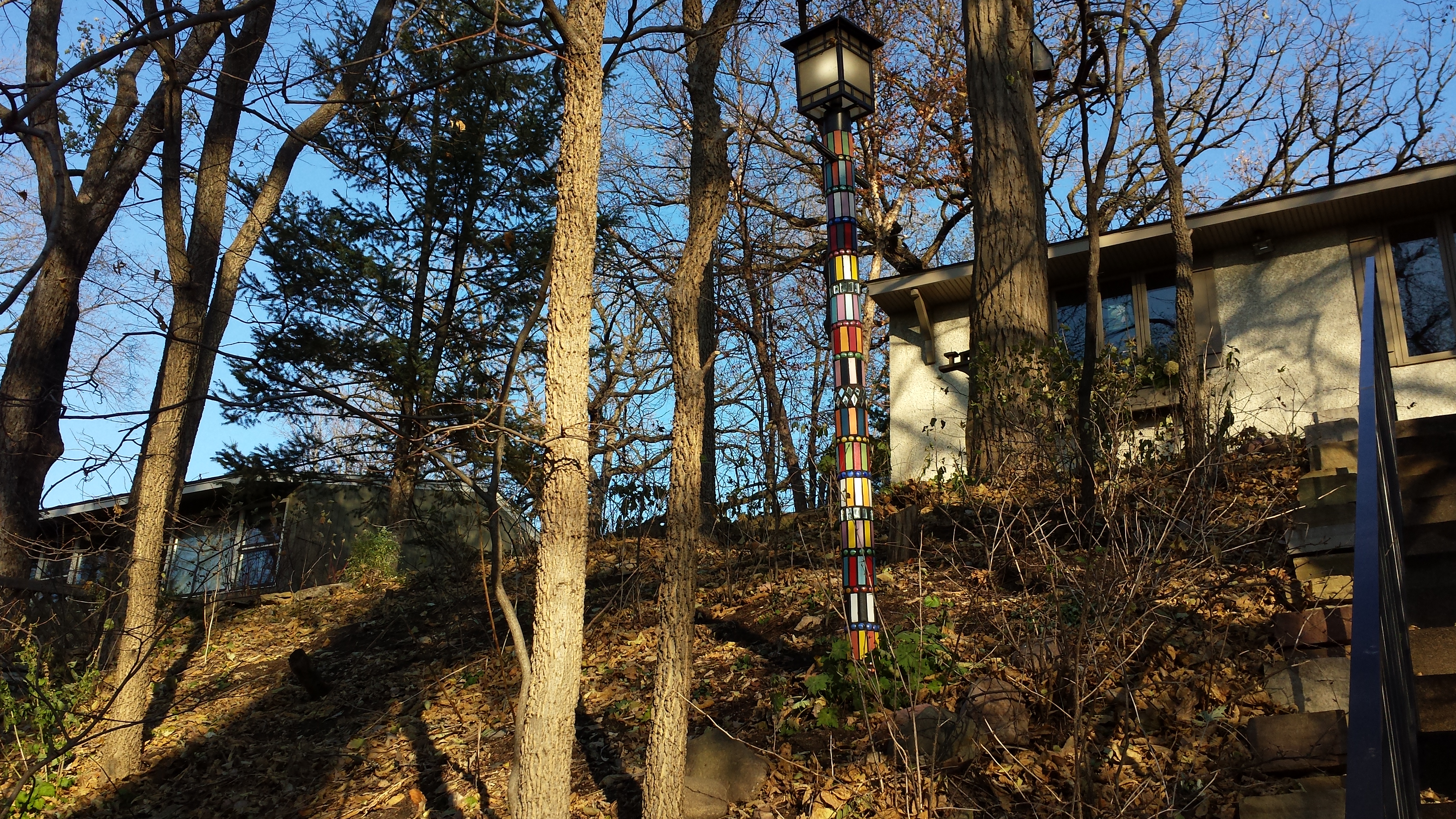
Mosaic Lamppost, 5000 Block of 12th Ave. S.
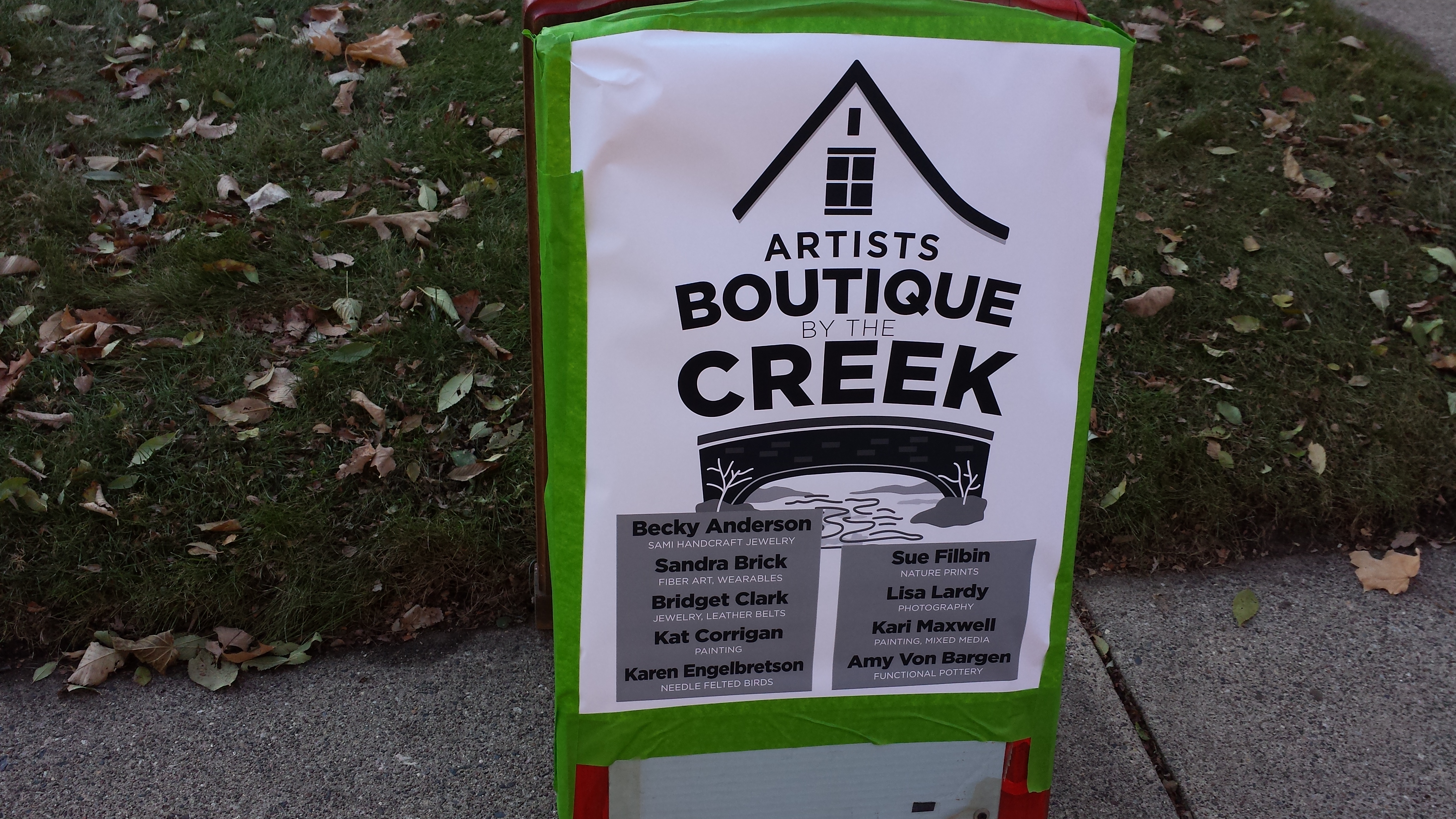
Artists’ Boutique by the Creek, 5012 12th Ave. S.
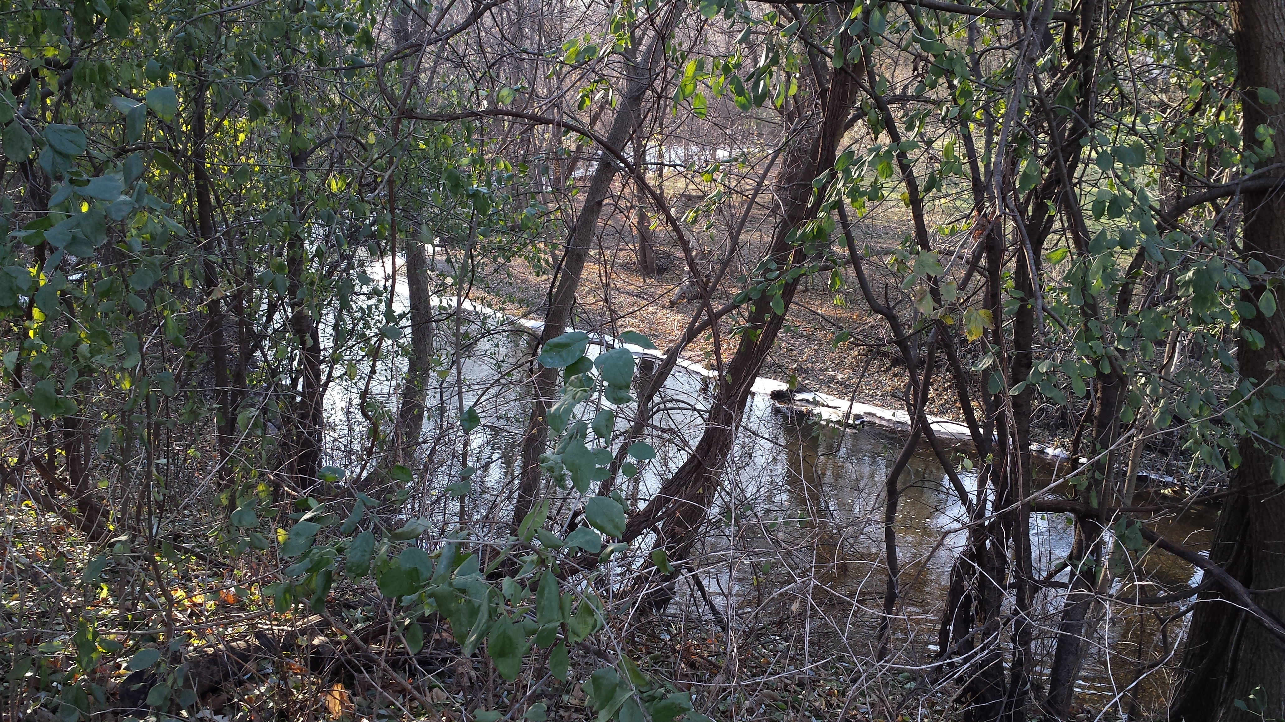
Minnehaha Creek West of 12th Ave. S.
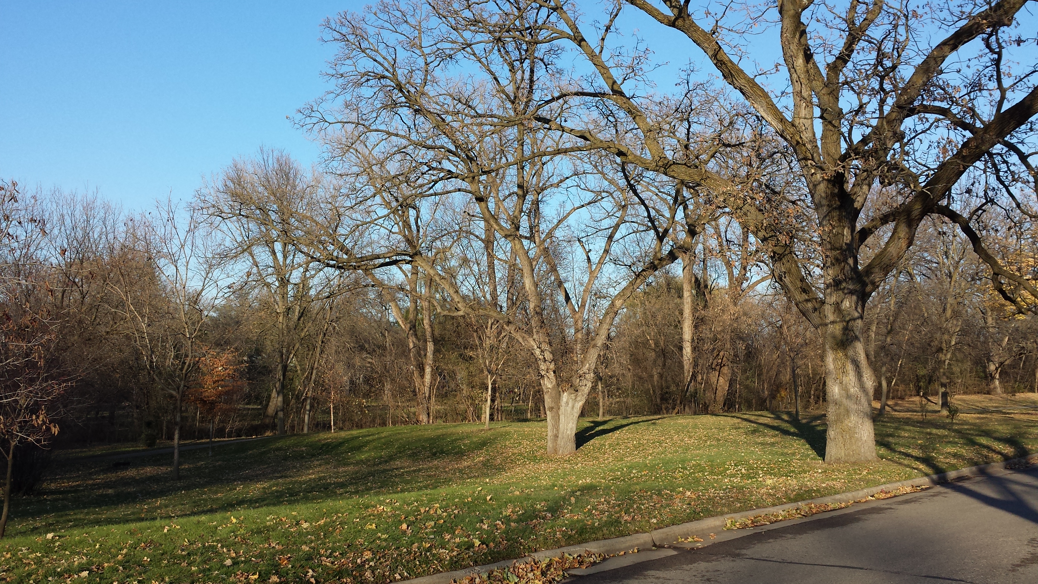
Creekside Parkland, 50th St. E. and 11th Ave. S.
By following 50th Street along the creek and into its confluence with 51st Street, I was able to return to my starting point at 51st and Chicago. Just as I was getting there, I was surprised to see a number of large birds roosting in a tree. To my uneducated eyes, they looked like turkey vultures, but more knowledgable friends tell me that they likely were wild turkeys—turkey vultures would likely have moved south by now. I didn’t have a good sightline through the branches and wasn’t able to get a decent photo.