Walking All the Streets of the North Loop, Day 2
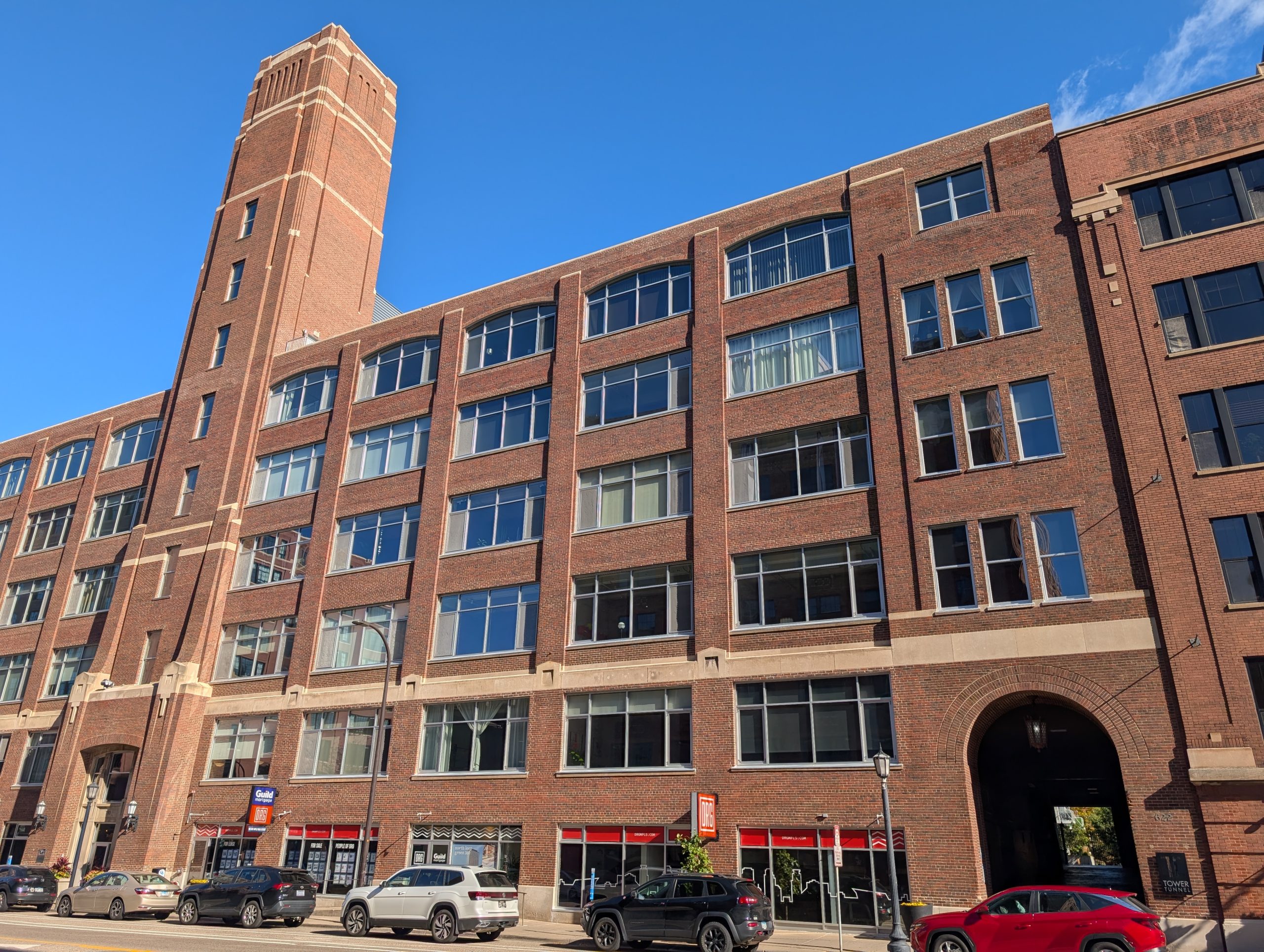
The river-adjacent portion of Minneapolis’s North Loop neighborhood largely corresponds to the Warehouse Historic District.

The river-adjacent portion of Minneapolis’s North Loop neighborhood largely corresponds to the Warehouse Historic District.
The mix in North Loop is no less eclectic than it once was, with lofts, sports, public facilities, a farmers market and supportive housing.

A walk through the East-Bank Wedge reveals surprising layers of Minneapolis history, from 19th-century banks to contemporary apartments and sculptures.

In his walking tour of every Minneapolis neighborhood, Max Hailperin details the bridges, architecture and other features of Nicollet Island.

This fifth walk in the Near North neighborhood includes eastern Oak Park and newer areas redeveloped around 1970 and re-redeveloped around 2000.

A Minneapolis writer is determined to walk each of his city’s 87 neighborhoods. This is his chronicle of Near North’s Oak Park area.

Walking each of Minneapolis’ 87 neighborhoods offers a close look at history, neighborhood pride and incidental adornments. Today: an eye on Near North.

Max Hailperin is documenting his efforts to walk every one of Minneapolis’ neighborhoods, street by street. This week, it’s Near North’s turn.

Old Highland in Minneapolis has schools, places of worship, eating establishments, industry and an abundance of Victorian-era residential.

The Morris Park neighborhood extends as far south as any in Minneapolis, and it is among the few that includes a portion south of the Crosstown Highway (Minnesota 62). My second walk in the neighborhood started and ended in that southernmost section, which skirts around an Air Force Reserve base on the northern edge of […]