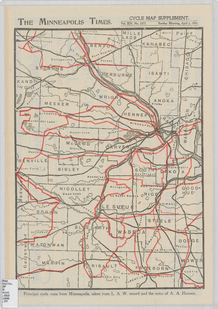
Via the collections of the Minnesota Historical Society comes this map of the principal cycle runs out of Minneapolis in 1896. It is taken from the Minneapolis Times.
It is available for purchase as a reprint from MNHS, but beware its current accuracy or safety.