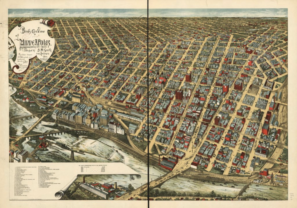
Here’s a cool “map”, one of the many aerial panoramas from the late 19th century Minneapolis. Here is an 1891 view showing downtown, Bridge Square, Hennepin, Nicollet, and Washington Avenues, the railyards, mill district, St. Anthony falls, and the street grid extending out towards the horizon of progress and real estate development.
Link to a larger .pdf file. 1891 Minneapolis Reduced Size
There were a few entrepreneurs that made these panoramic views in that era; this one was made by A. M. Smith and Frank Pezolt. I appreciate the exaggerated use of red brick and stone buildings, much of which was probably granite quarried from elsewhere in Minnesota.