Editor’s Note: Max Hailperin is walking each of Minneapolis’ 87 neighborhoods, in alphabetical order. He chronicles his adventures at allofminneapolis.com, where the original version of this article was published September 12, 2024.
One way to subdivide Minneapolis’ Near North neighborhood is into the portion north of Plymouth Avenue and the portion to the south. My previous walks covered the bulk of the northern portion: first Old Highland between Girard and Aldrich avenues, then a mixed portion farther east. For this third segment, I walked the western and southern flanks of Old Highland. That finished up the northern part of the neighborhood with the blocks west of Girard and added an idiosyncratic portion of the area south of Plymouth, the commercial park wedged between Plymouth Avenue, Seventh Street and Lyndale Avenue.
In the route map, I’ve followed my usual convention of showing the main loop in blue and forward-and-back spurs in red. The starting and ending points are on James Avenue North at 18th Avenue North. That’s directly across from the North Commons Recreation Center, which, like the rest of the park, is across the neighborhood line in Willard-Hay.
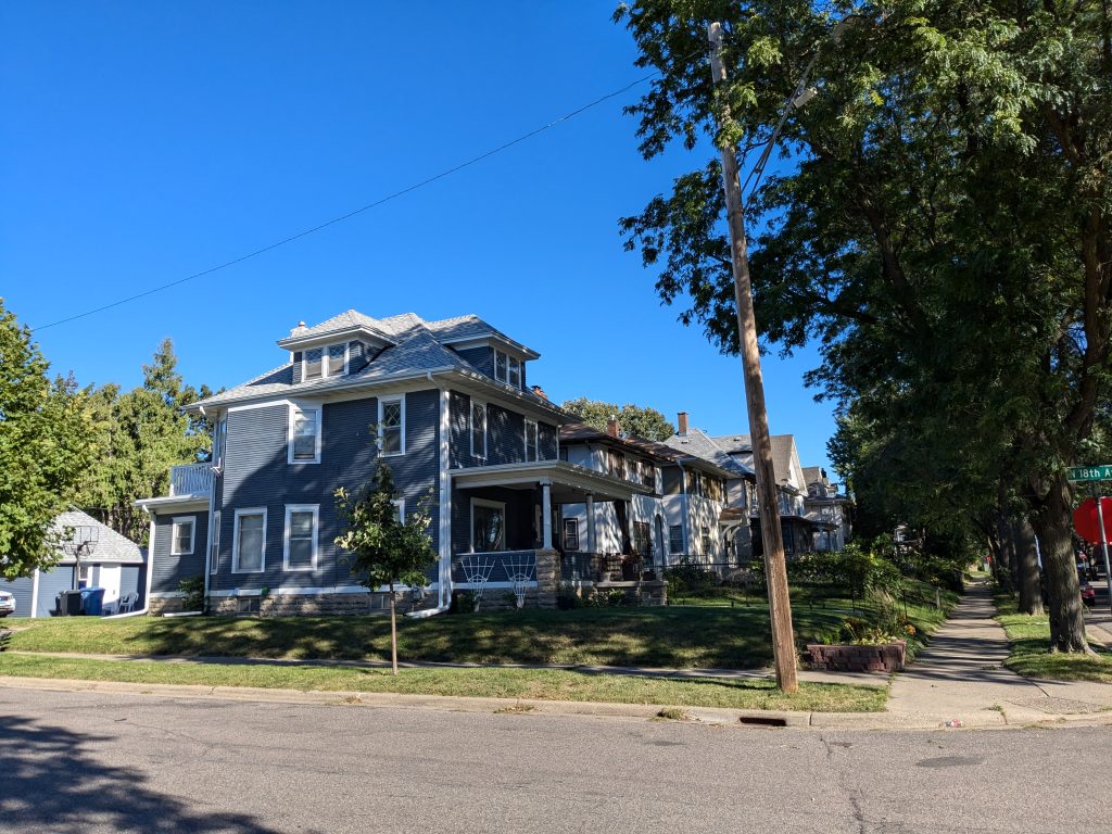
Unsurprisingly, the blocks officially designated as Old Highland are not greatly different in character from nearby blocks. For example, my first photo illustrates that the 1800 block of Irving Avenue North (a block west of Girard) features the same traditional two-story houses.
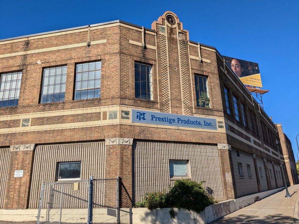
The commercial thoroughfares bordering the residential area offer greater variety. For example, on West Broadway, a Popeyes fast-food outlet is immediately adjacent to the striking building that houses Prestige Products, a precision machine shop. I’m not entirely clear on the building’s history, but previous tenants include auto dealerships in the 1930s and grocery stores in the 1950s and 1960s.
Turning back southward on Irving, I only continued in that direction as far as 16th Avenue before turning east — one block on 16th, then three more on 15th. A certain amount of zigzagging is the price I pay for covering every block of every street. And that, in turn, ensures I don’t overlook hidden jewels. Because even in a relatively homogenous residential area, individual property owners have left their own mark on what may have started out as rather similar houses.
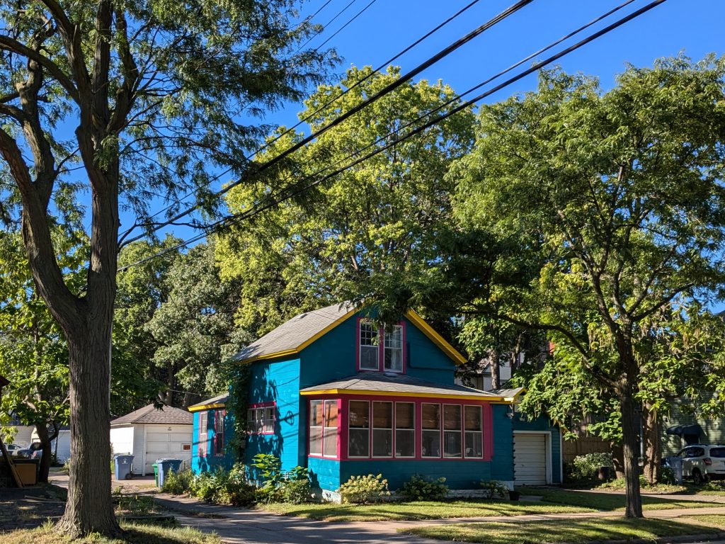
Take, for example, the house I photographed on 15th Avenue North. The building permit index card shows a rather interesting origin, a conversion from a barn in 1914. But from the street, it looks like many other houses of that period aside from one crucial detail: the contrasting colors of paint. Cyan, magenta and yellow are the subtractive primary colors, so they make an eye-catching triad.
From 15th Avenue, I took Dupont Avenue south to Plymouth. On the northwest corner of Dupont and Plymouth avenues, two items caught my eye.
- One (not pictured here) is a street sign indicating that this portion of Plymouth Avenue is also designated as Spike Moss Way.
- The other is the Catholic Charities Northside Child Development Center, which stands out in part because of the statues of Peanuts siblings Linus and Lucy van Pelt.

Across on the south side of Plymouth Avenue, the area between Dupont Avenue and Seventh Street North is occupied by a Hennepin County service center. The service center is a leased building strikingly redeveloped from an old warehouse by Knutson Construction for The Ackerberg Group, which then sold the building. Like much of the redevelopment in the area, design credits go to Jamil Ford of Mobilize Design & Architecture.
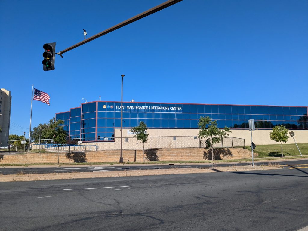
Across Seventh Street, a large glass-clad building houses the Plant Maintenance and Operations Center for the Minneapolis Public Schools (MPS). This is one of two large MPS facilities I walked past in this area of Plymouth Avenue. The other (not pictured) is Culinary and Wellness Services between Aldrich and Bryant avenues, on the north side of Plymouth.
Other warehouse-style buildings in this area include Twin Cities Rise and a Comcast service center. But to see all of the commercial development, I needed to turn south on Aldrich Avenue, which led me into the triangular island of land enclosed between major streets adjacent to the freeway.
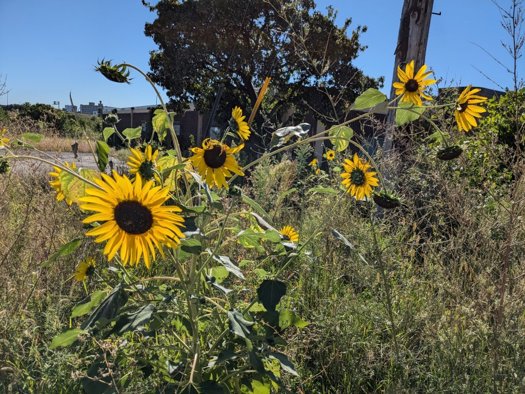
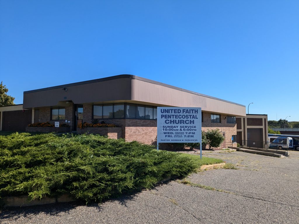
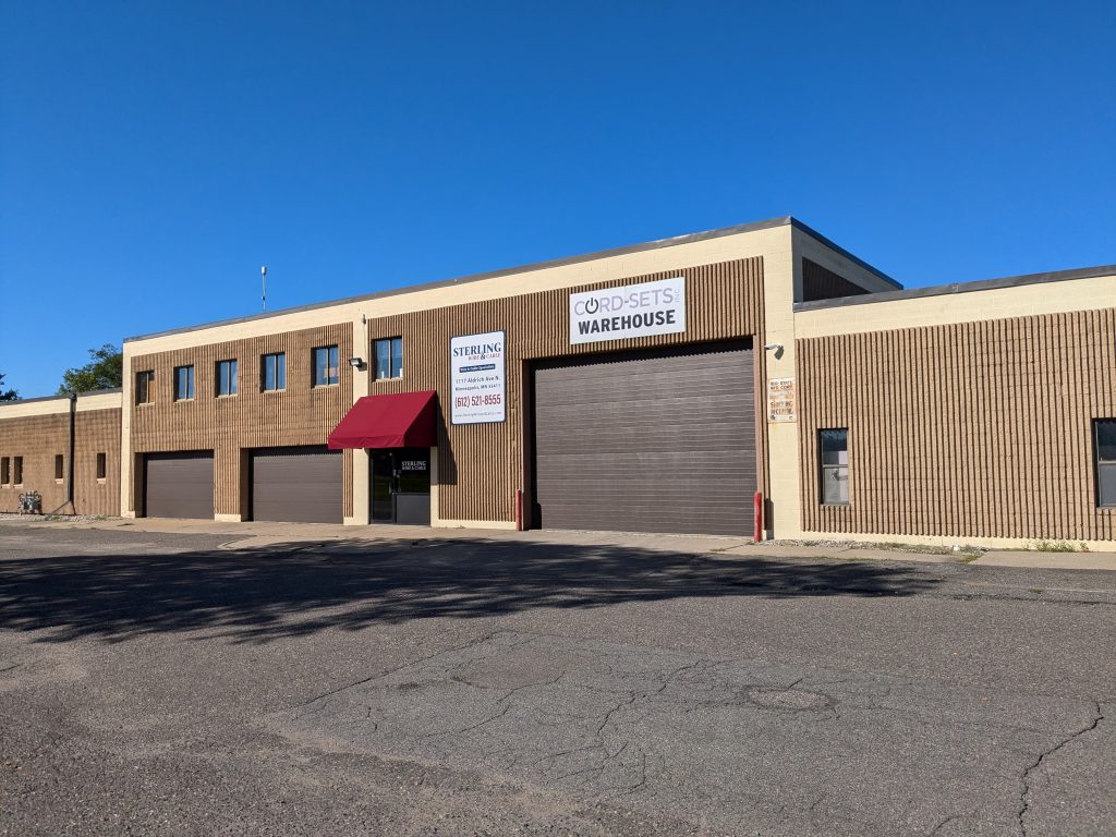
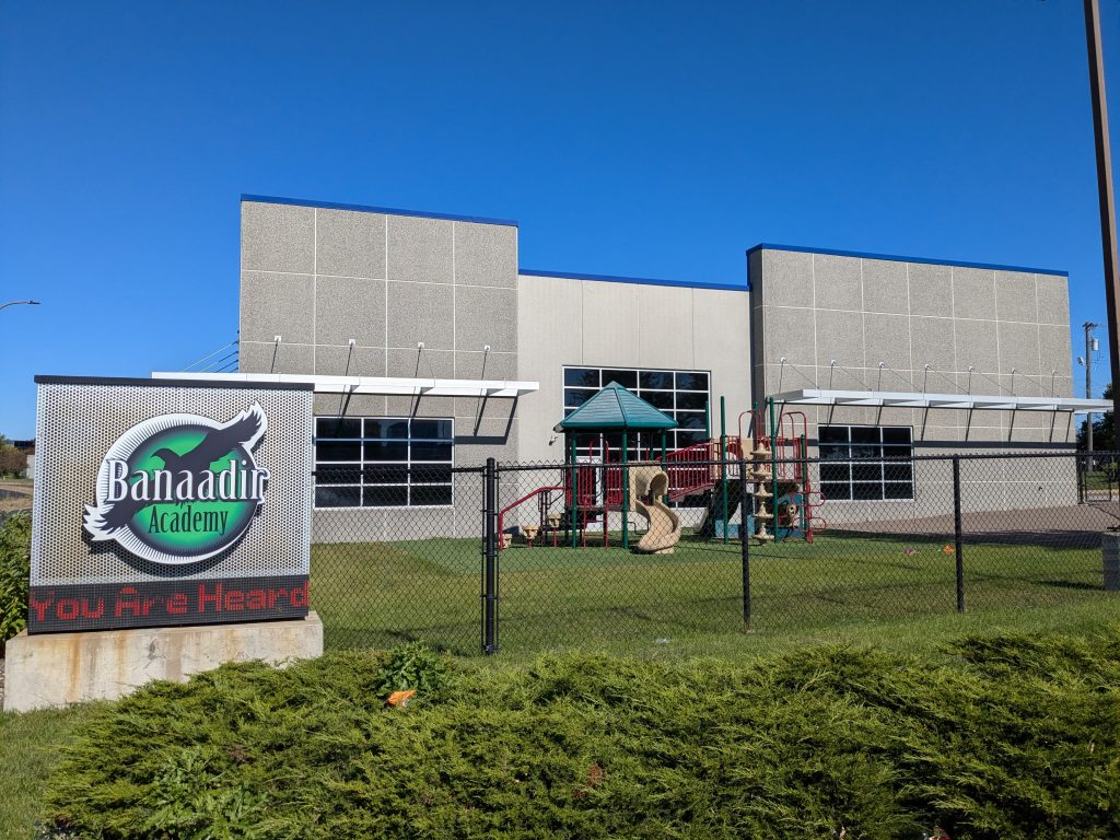
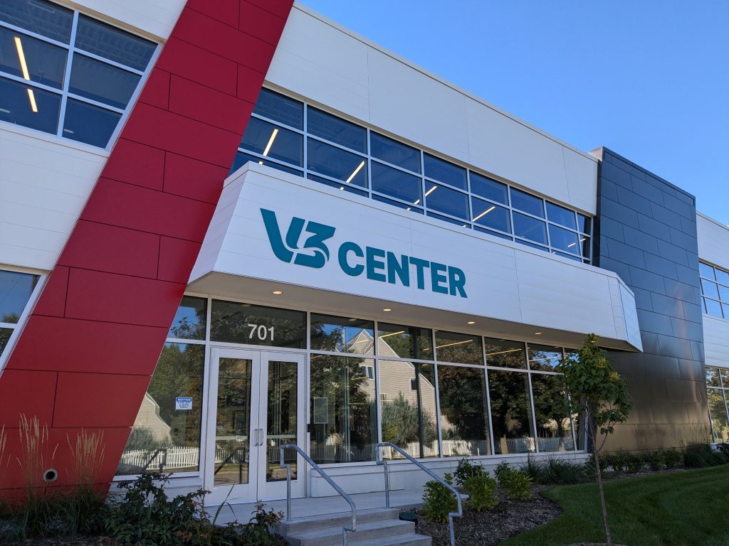
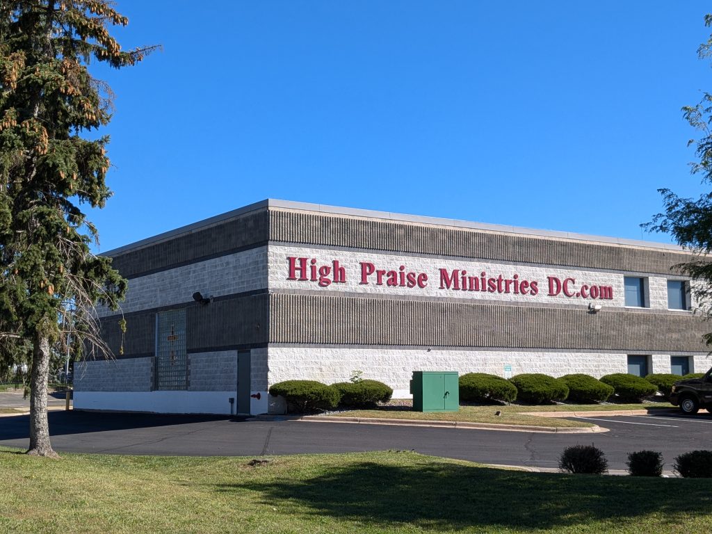
Island ecologies are known for their biodiversity, and perhaps by analogy, this artificial island of urban development packs in sunflowers, the United Faith Pentecostal Church, a wire and cable distributor, an optical (eye care) laboratory, Banaadir Academy, the V3 Center and High Praise Ministries – The Destiny Center.
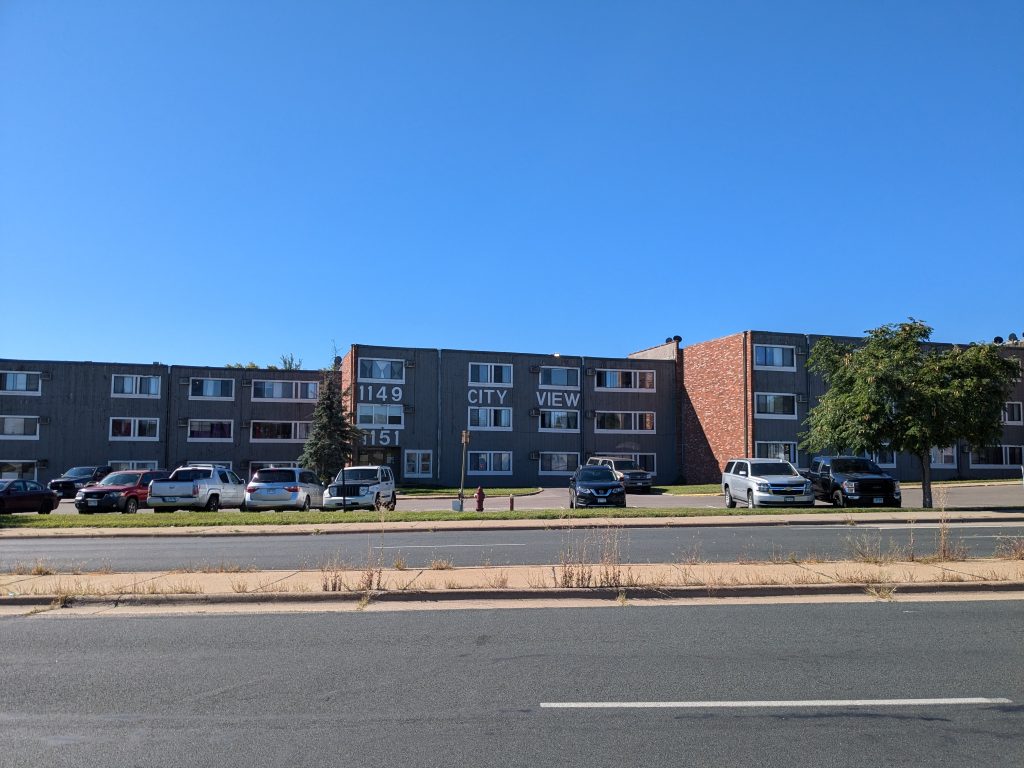
Once I had used a couple spurs to probe the interior of this island, I returned to circumnavigating it, taking Lyndale Avenue from Plymouth to Seventh Street North, then turning northwest on Seventh. Across on the southwest side of Seventh, City View apartments stand out for their clear labeling. I’ve often seen house numbers that are too small or illegible to fit the city ordinance’s requirements. (Imagine a fire fighter or ambulance driver trying to rapidly find the right house — it could be important.) Here, there’s no worry.
Historically, Seventh Street’s diagonal path across the North Minneapolis street grid continued all the way to a five-way intersection with Plymouth and Emerson avenues, which followed a six-way intersection at 12th and Dupont avenues. (The diagonal orientation itself originates from an extension of the river-oriented street grid out of the central portion of the city into the compass-oriented grid used elsewhere.)
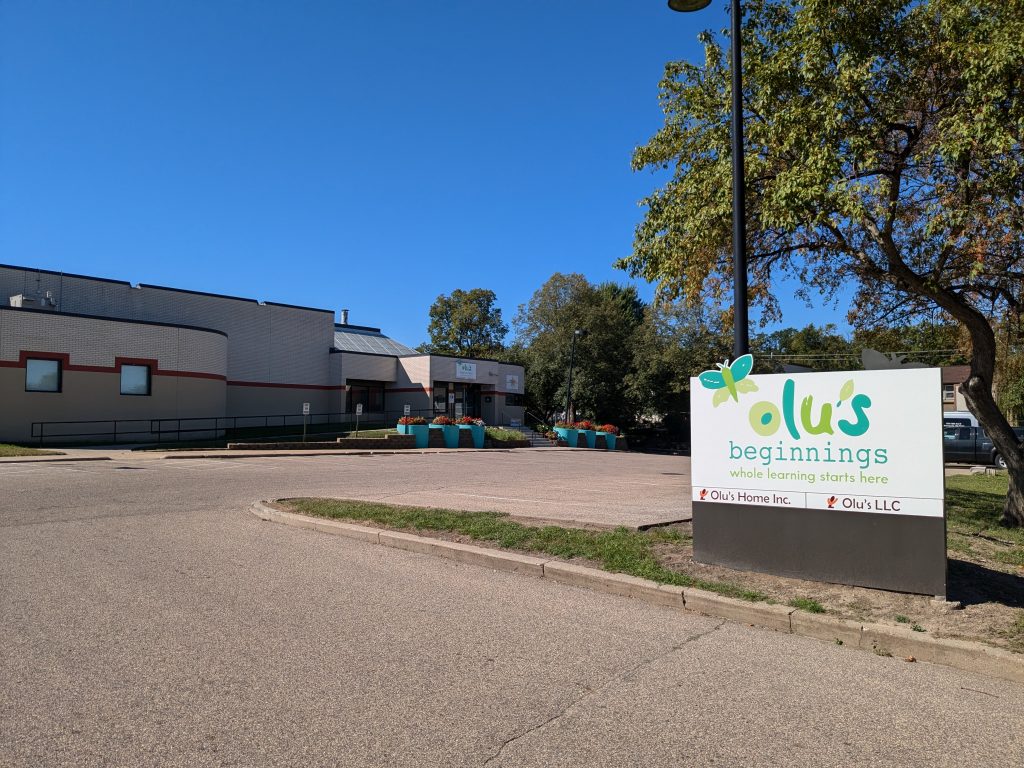
Today, those intersections have been rationalized into a right-angle bend and ordinary four-way intersections. One of the consequences is that by continuing straight west, rather than turning north, I transitioned onto 12th Avenue North. This area still has a commercial-park nature to it, though again, some of the buildings are used for other purposes such as a child development center, Olu’s Beginnings.
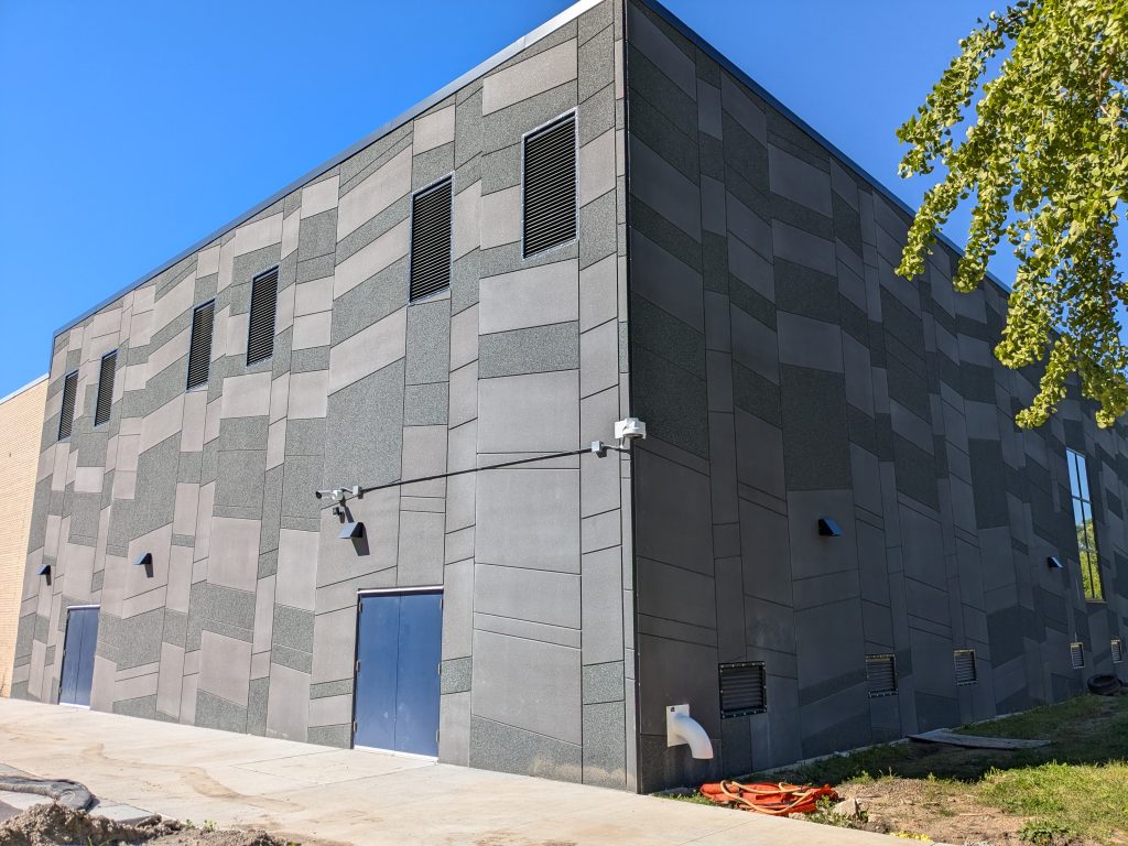
After crossing back over Plymouth Avenue, I got to see the two-block-square North High School from multiple sides. Whichever way I looked at it, major renovation was evident, to the point where it was sometimes difficult to see the school itself behind all the machinery and piles of materials. One of the few clear views was at the northeast corner, where modern siding materials had been arranged into a jaunty pattern.
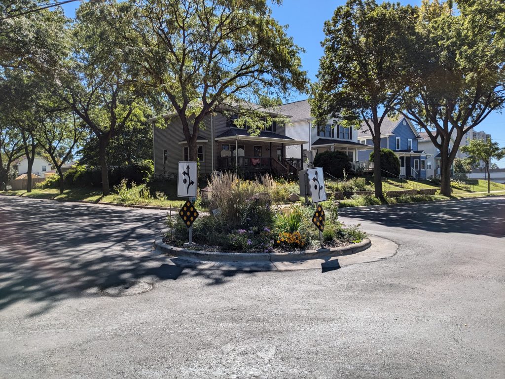
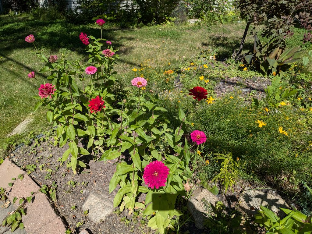
I still had a little looping around through the nearby residential area, including the very edge of Old Highland at Girard Avenue. I appreciated the traffic-calming circles, which serve a safety role while also providing a setting for attractive plantings. As summer turns to fall, it’s also nice to see colorful flowers remaining on the neighboring properties.
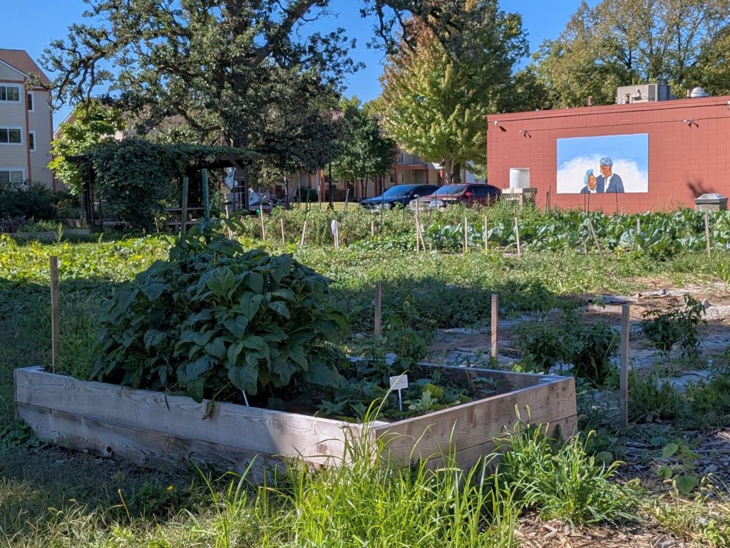
The most significant cultivated area, however, is planted not with decorative flowers but with vegetables to eat. Karamu Communal Garden, at the corner of James and Plymouth avenues, is a project of the Black Storytellers Alliance. The name is meaningful: not only that Karamu indicates a “place of joyous gathering,” but that the garden is communal, not merely community. And looking out over the garden from the wall of the adjoining Elks Lodge are the couple whose “brainchild” the garden was: the late Nothando Zulu and Elder Vusumusi Zulu. Or at least they would be looking out over the garden if they ever could tear their loving eyes away from each other, as depicted by artist Charles Caldwell.
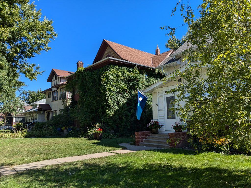
From Plymouth Avenue, I turned back north on Knox Avenue, passing the west edge of North High. Skirting around the southeast corner of North Commons on 16th and James avenues, I returned to my starting point. The houses across James from the Commons provided one last view of the leafy, flower-graced residential area.
All photos are by the author.