
I’m not a hardcore ferroequinologist just yet, but I will fervently contend that trains enhance the aesthetics of a city and make them much more interesting to observe as a photographer. That said, aesthetics are secondary to the primary goal of a transit system: being reliable, robust and safe while efficiently moving people where they need to go. Still, when most people think of a “city,” they probably imagine some form of train cutting through the landscape — whether it’s elevated, at grade or subterranean. Trains feel like an integral part of a city’s identity.
While living in New York City, I never set out specifically to photograph the elevated trains. I’m currently working on a project walking underneath the 7 train in Queens, but even in that case, the train itself isn’t the central focus of the project. I guess I hadn’t caught the train watcher bug yet.

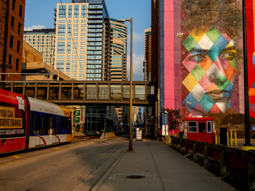
It wasn’t until a weekend in Downtown Minneapolis back in 2022 that I started paying closer attention. Stepping off the Northstar and walking down Fifth Street, I noticed how much the light rail improved the aesthetics of the cityscape.
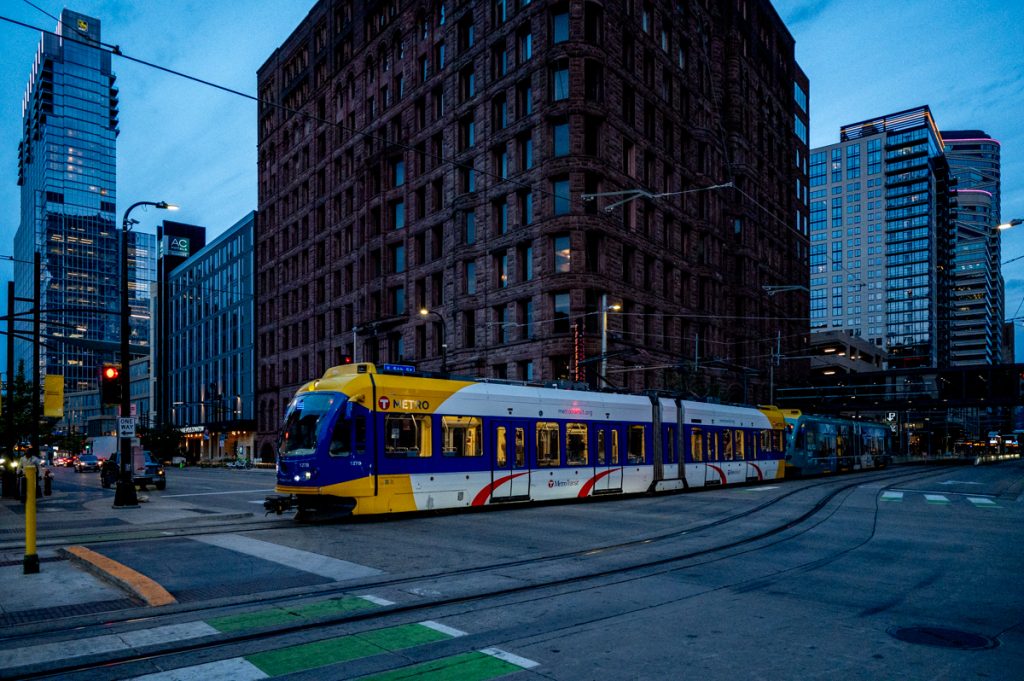
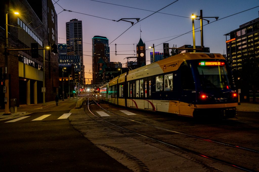
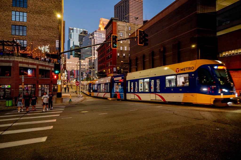
Trains add a critical element to how we visualize a modern, successful, transit-forward city. We’re fortunate to have two light rail lines here in the Twin Cities, and since much of my work revolves around transit networks and public spaces, it was only a matter of time before I started photographing them. Last summer, I decided to walk the routes, starting with the Blue Line, which I completed in three walks. I’ve only made one walk along the Green Line so far, so when I pick up the project in the spring, that’s where I’ll likely begin.
What interests me most about this project is how the light rail transforms the city landscape. While I’ve seen plenty of photographs of the light rail, the equation changes when you’re in the field, searching for perspectives that visually communicate ideas about the relationship between transportation and the urban environment. Photography has always been a learning tool for me, offering a chance to focus deeply on the specifics of light rail infrastructure and the daily ritual of trains moving through the city.
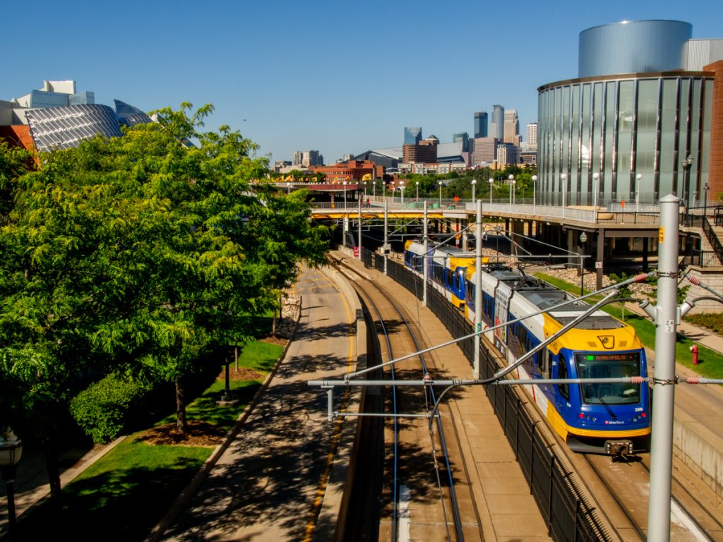
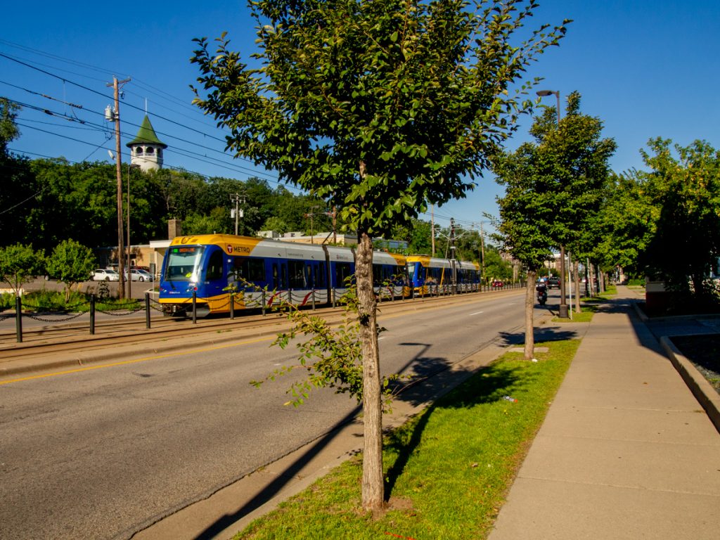
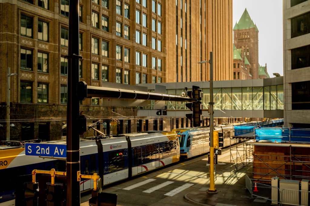
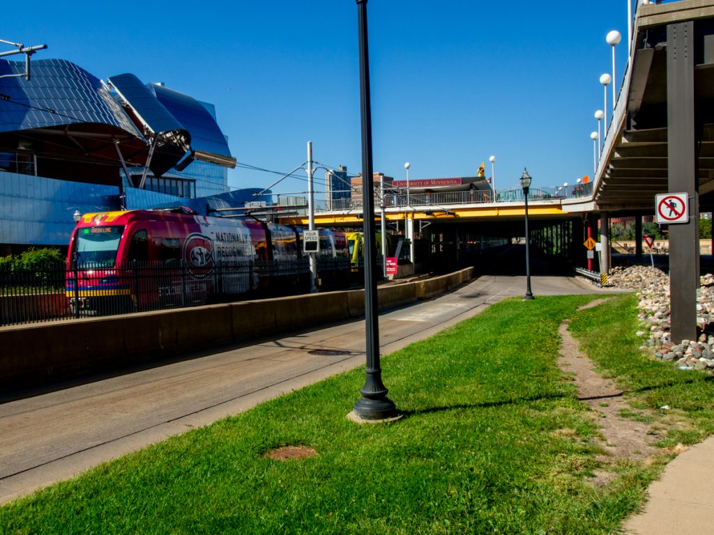
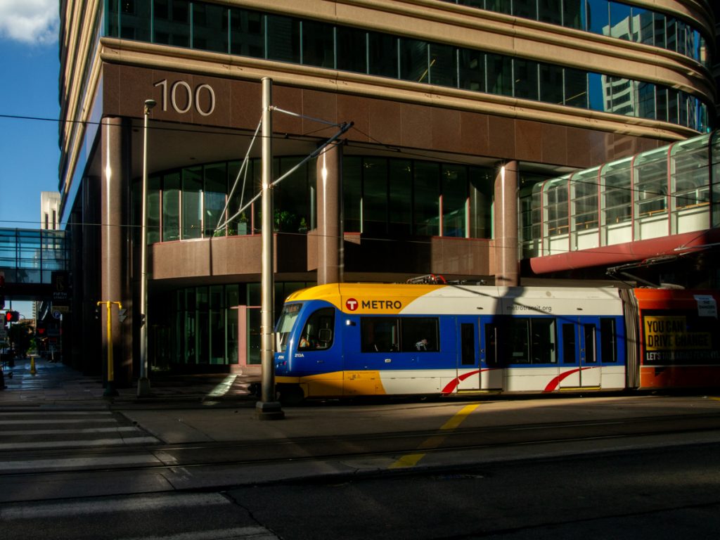
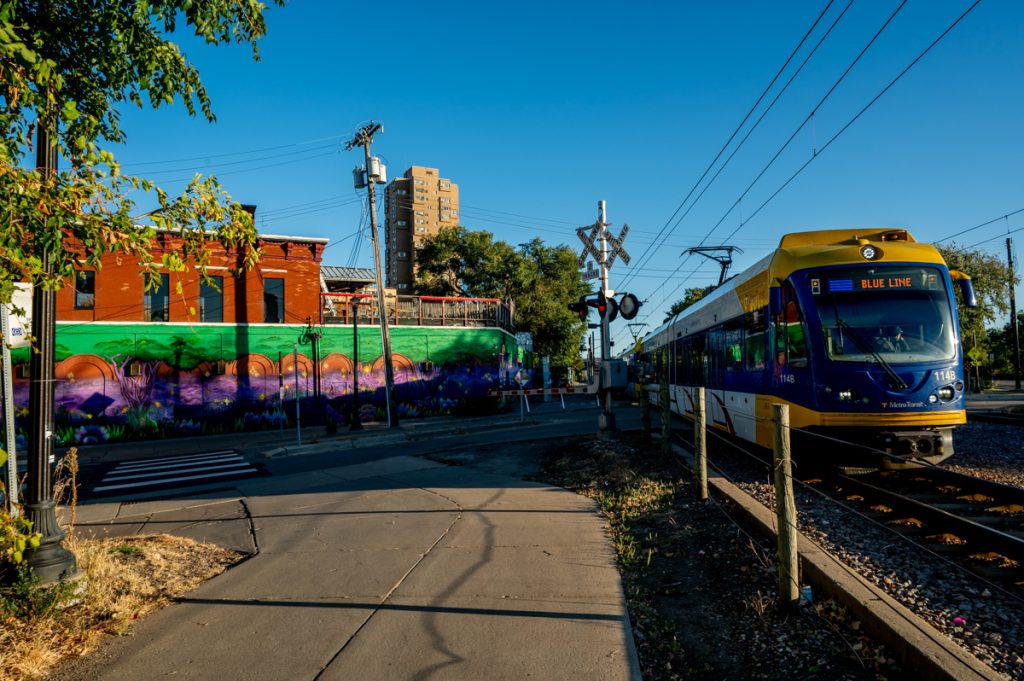
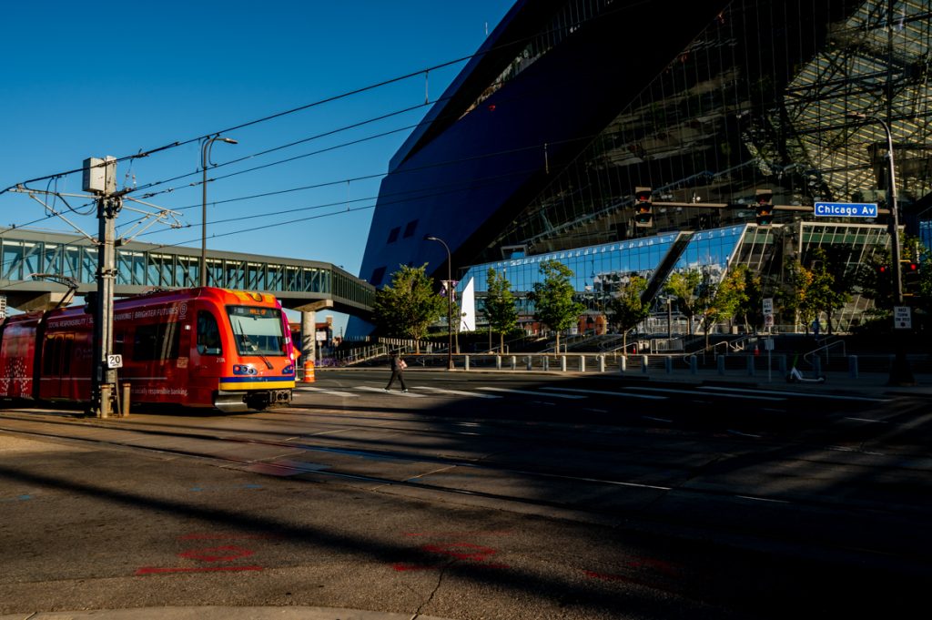
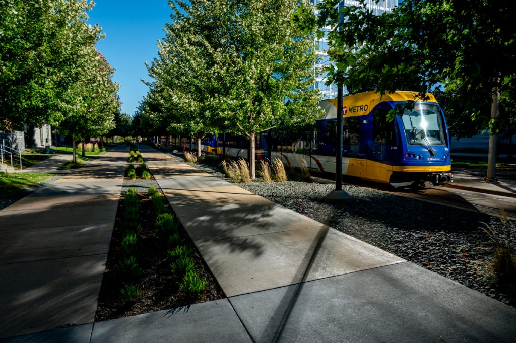
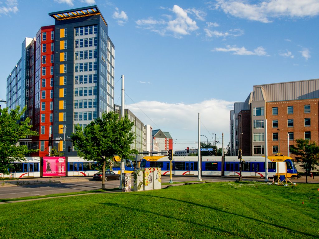
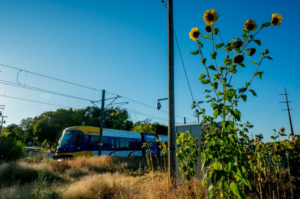
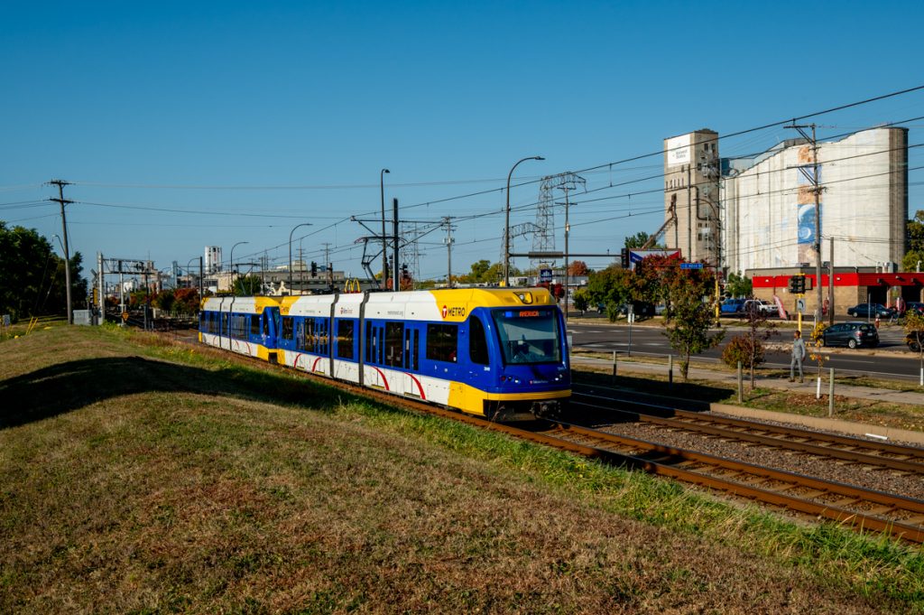
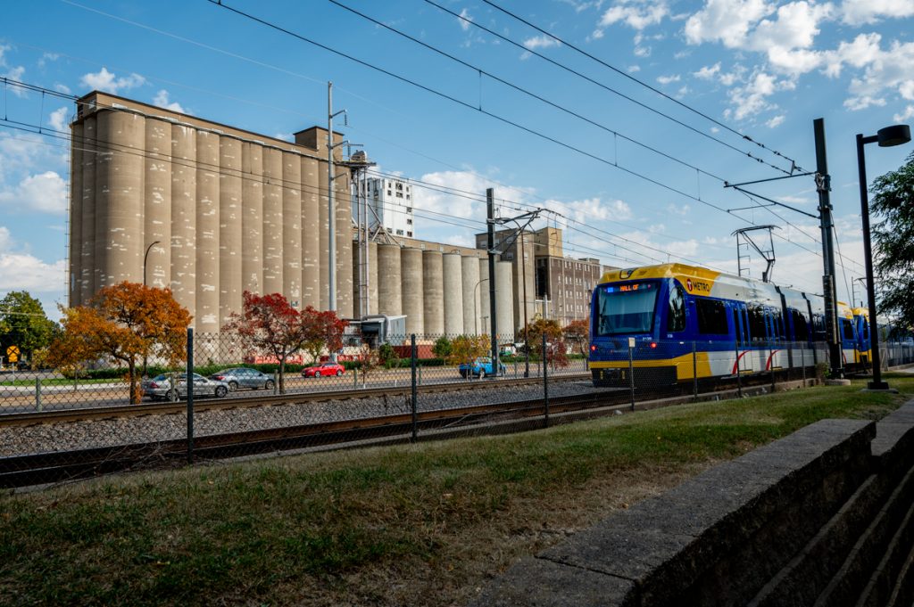
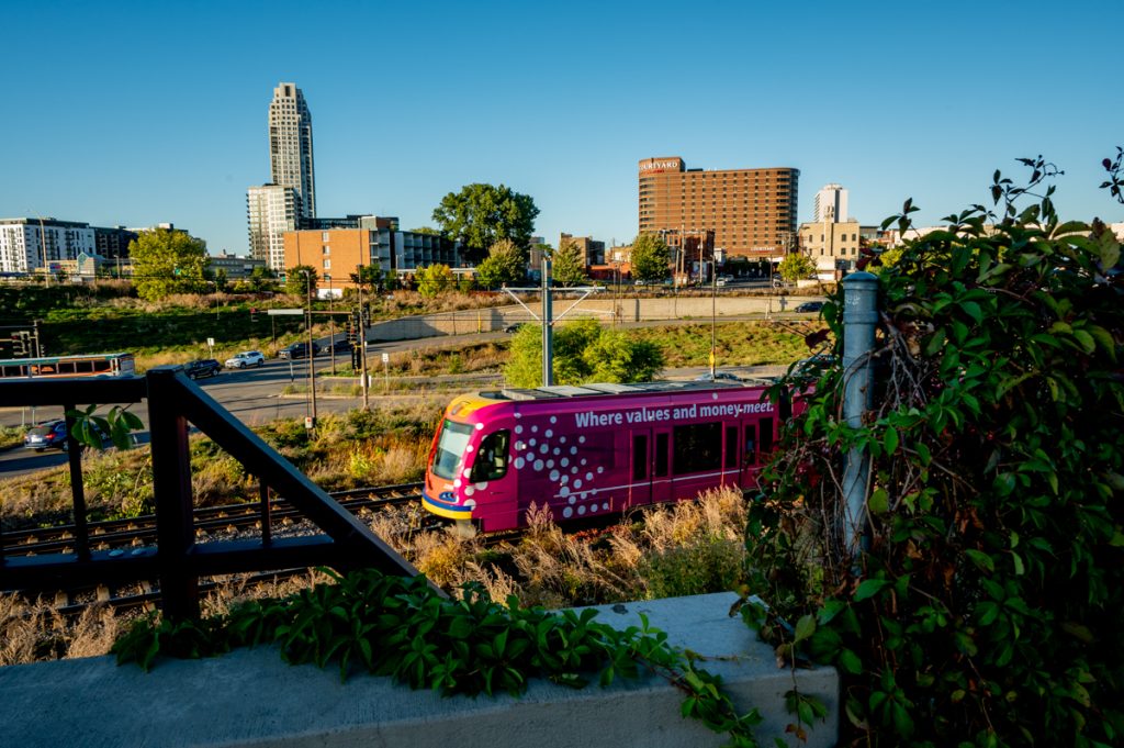
Both lines interact with the urban landscape in fascinating ways. They share a route through Downtown Minneapolis, which is where I began photographing since I lived there. Once the Blue Line leaves downtown, the scenery shifts dramatically, showcasing collisions of infrastructure and diverse elements of the built environment coming together. These create countless interesting perspectives to photograph. The Green Line, by contrast, is dominated by University Avenue after leaving the University of Minnesota. From there, it moves through Capitol neighborhoods before reaching Downtown St. Paul. I’m particularly excited to walk this section in the spring, as it’s the part of the landscape I’m least familiar with so far.
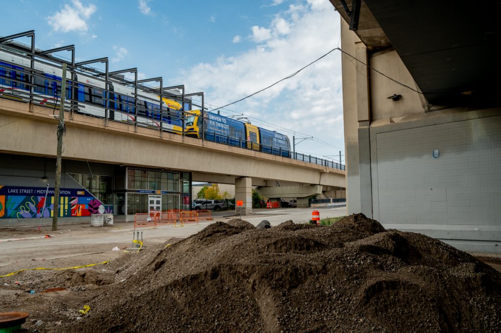
For now, I’m sharing an initial edit of photographs from the project, which I know will evolve as I revisit locations. Walking along the routes has also given me a deeper appreciation for how pedestrian life interacts with the stations. Pedestrians and transit riders share a unique perspective on the city, and when I’m out in public, I often feel a kinship with others walking and using public transit.
I haven’t made many candid photographs of people interacting with the transit system, largely because I’m more interested in the geography and landscape of the city than in a social documentary approach. These days, candid photography in public spaces also raises ethical questions around consent and privacy, and photographing at stations or on trains could understandably bother other riders. While a collaborative portrait project involving riders and an artist would be fascinating — and I’m sure such projects exist — my creative focus remains on capturing the urban landscape.
It might sound dull to some, but I enjoy standing on a corner and watching how a space unfolds over time. Living in New York City hooked me on this type of observation. Its public spaces are endlessly dynamic because of their density and intricate infrastructure, providing endless opportunities to observe and explore. Even after 12 years of walking and photographing there, I barely scratched the surface.
I’ve learned since leaving that this thrill isn’t exclusive to New York. At this point, I can find joy in observing public spaces in almost any city. I love spending time in these spaces and watching how the city flows — on the sidewalks, through the stations and along the rails. This essay is about trains, so I’ll save my criticism of car culture for another time. Suffice it to say, cars are a major irritant in my enjoyment of public spaces, and I wish there were far fewer of them.
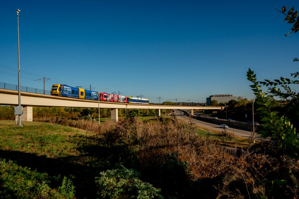
Walking the full length of the Blue Line made me realize just how much territory it covers. Walking always changes your perception of geography. You start to appreciate the scale of a city in a way you can’t by car or even by bike. Cyclists might experience something similar, but for me, biking feels too fast. On foot, you sense the true extent of the routes, and it highlights the enormous potential for denser development along these lines. Maybe if I keep working on this project for 30 years, I’ll witness some of those transformations. For now, though, I’ll take it one year at a time.
Here are the light rail photographs from 2024.

All photos by Bryan Formhals.