
Editor’s note: “Let’s (St)roll There” is an occasional series about ways to get to unusual or out-of-the-way places by foot, bus, train or bike.
A visit to the Minnesota Landscape Arboretum has been on my to-do list since I relocated to the Twin Cities a couple of years ago. Initially, when I looked at the map, I envisioned walking the 20 miles from Downtown Minneapolis over two days, but that idea soon faded due to too many unknowns along the route. When I scheduled a weeklong staycation in May, I was determined to finally make the trip.
I had recently read a Minnesota Star Tribune article by Greta Kaul about unique suburban walks, highlighting the trails in Jonathan, a planned community just west of Chaska. Intrigued by the town’s utopian vision, I realized from studying the map that walking from the East Creek SouthWest (SW) Transit station to the Arboretum would likely be feasible.
Deciding to turn it into an overnight adventure, I booked a room at the Holiday Inn Express on Highway 5, conveniently just a short walk from the Arboretum. My plan was to take the 698U bus from Downtown Minneapolis to the East Creek Station in Chaska, and from there, walk to the hotel.
However, with a forecast calling for steady rain, I knew I needed a backup option. Remembering SW Prime, an on-demand rideshare program, recommended by some fellow Streets.mn transit enthusiasts — and featured in a fantastic episode of our podcast — I downloaded its app, registered my phone number and was ready to go.
Wednesday, May 21, 2025 – 698U to Chaska: Onto the Jonathan Trails in the Rain
In the morning, I checked the radar and figured the rain might clear up in Chaska by the afternoon, so I opted for the 1 p.m. 698U bus from Downtown Minneapolis. I asked a middle-aged woman at the Marquette & 8th St. bus stop if she rode the 698U often, and she explained she’d been using transit since selling the car she had owned for 22 years — a change she noted was likely temporary.
She told me she had used SW Prime several times and found it convenient, though she had experienced some issues with the app. Her advice was to call the dispatcher directly — a tip that would later prove invaluable. It’s always enjoyable and helpful to talk with fellow riders.
Although I generally dislike highway travel, the ride to East Creek Station in Chaska was smooth and fairly quick. Glancing out the window, however, it became clear that my hope for a dry afternoon walk on the Jonathan Trails had been overly optimistic.
Thankfully, I had my rain jacket and umbrella ready. I rarely take extended walks in the rain, but when you’re on vacation, sometimes you have to adapt and persevere. Plus, rainy conditions can offer interesting photographic opportunities, so I embraced the challenge.
Upon exiting the bus, I stepped into the station and reached for my umbrella, only to discover I’d left it behind. Fortunately, the bus was still parked outside. I hurried back, and as soon as I stepped onto the bus, the driver handed me my umbrella, joking, “I was just about to write it up.” I thanked him and continued on my way.
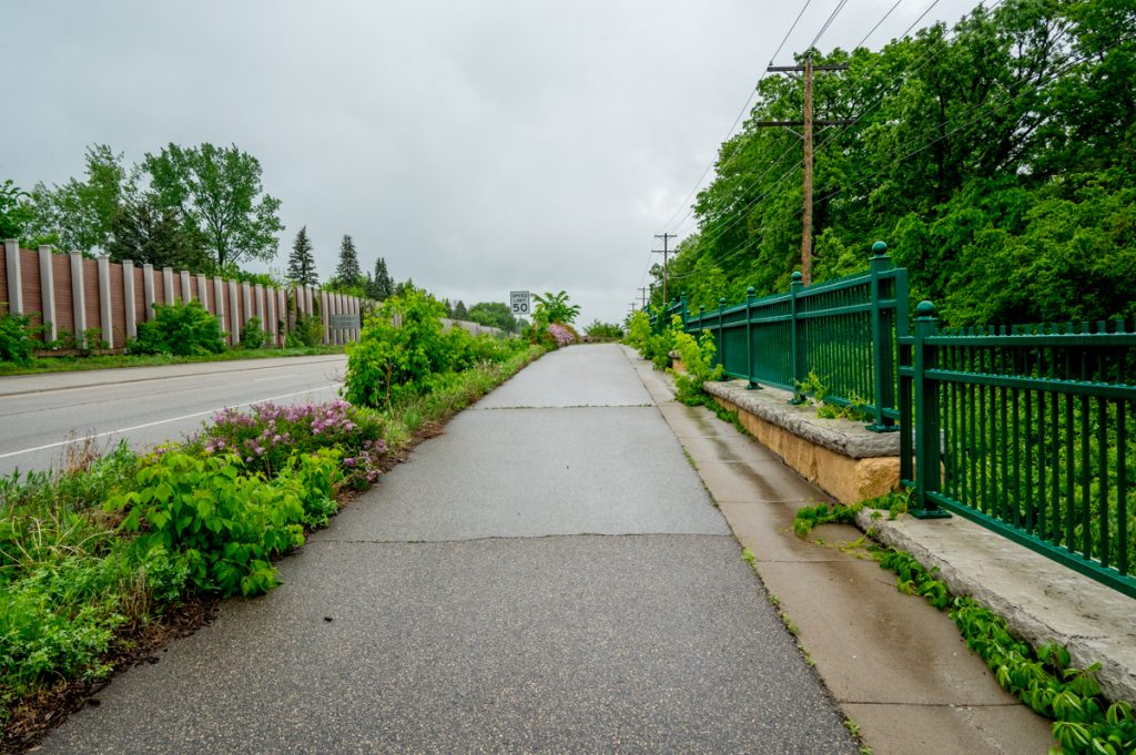
The trail leading from the station immediately brought me onto the Jonathan Trails. The misting rain made photography challenging, yet I pressed on — camera in one hand, umbrella in the other.
My destination for lunch was Willy McCoy’s, and the rainy walk proved interesting. After enjoying a tasty walleye sandwich, I continued toward the Holiday Inn, confident that a trail would take me directly there.
This moment is where I realized a critical oversight: I hadn’t checked for any trail closures beforehand — a lesson I should’ve learned from past experiences. In previous instances, such oversights had resulted in long and potentially dangerous detours.
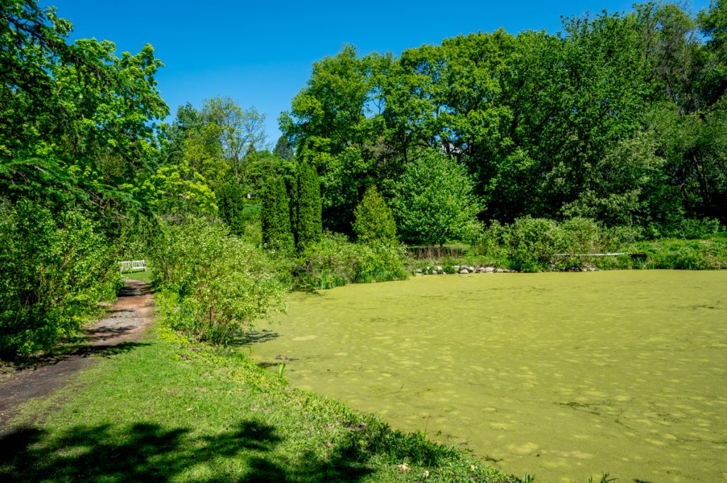
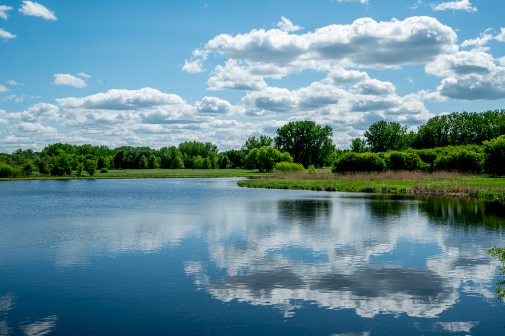
Initially, the walk around Jonathan Lake was fine, despite the rain growing heavier and more unpleasant. The trails were deserted, but I pressed onward.
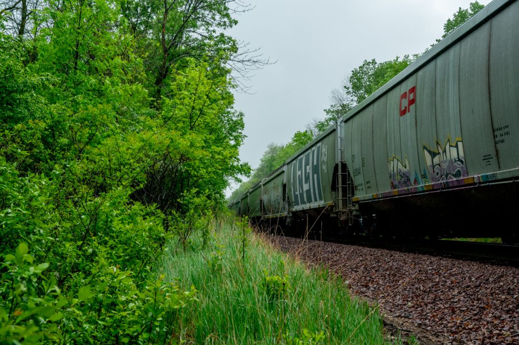
Eventually, I reached a point where the trail crossed railroad tracks. Assuming the map was accurate, I expected a bridge or safe crossing. Instead, I found a stationary train completely blocking the path. Crawling beneath the train wasn’t an option. I thought a bridge farther down might offer an alternate route.
I entered the parking lot of an apartment complex, then made my way onto McKnight Road. Upon reaching the bridge, I discovered a crossing here wasn’t ideal, yet I hoped for the best. This turned into a risky move. After walking briefly along McKnight Road, I re-entered the trails, though the atmosphere felt increasingly secluded.
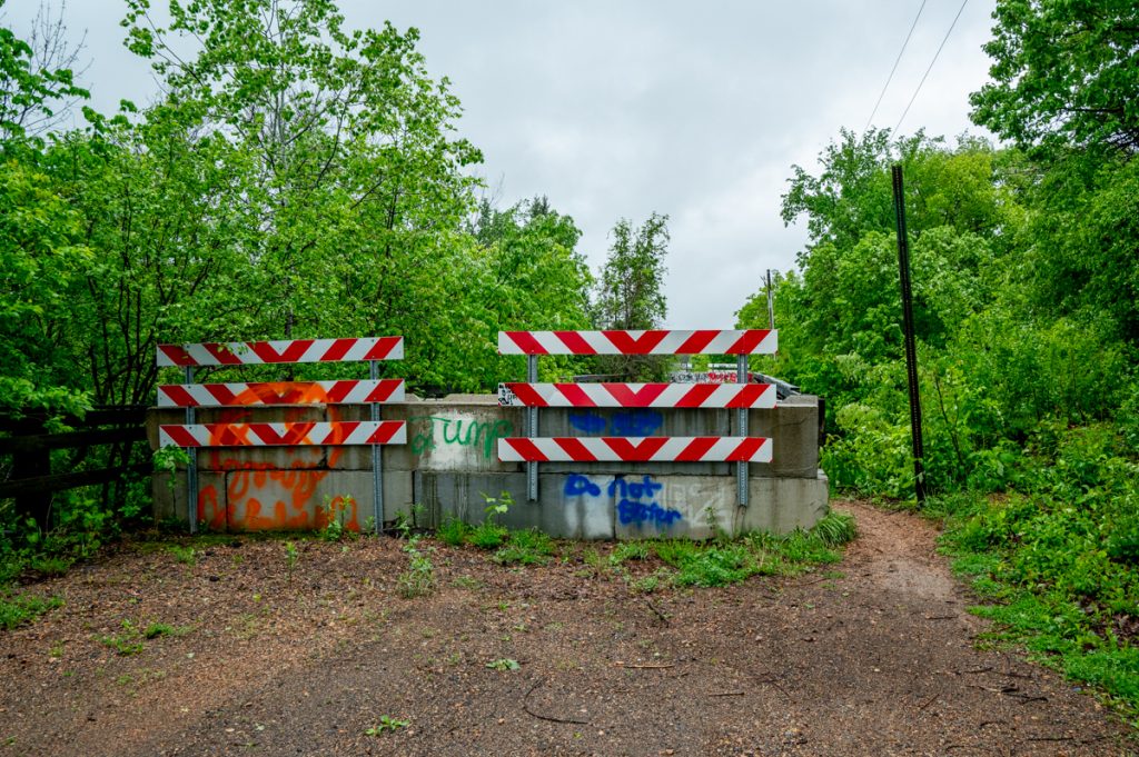
My apprehension grew when I encountered a massive mound of dirt — clearly a construction site — completely blocking the trail. Climbing over seemed dangerous, and I immediately knew I had to turn back. With the rain intensifying, this meant retracing my steps for at least an hour.
I had water, a working phone and clear directions back — so the situation wasn’t dire. But it was humbling, reinforcing the importance of verifying trail conditions before setting out.
This moment prompted SW Prime to re-enter the picture. Remembering my earlier conversation at the bus stop, I called the dispatcher directly from Willy McCoy’s. They answered promptly, and after I provided my location and destination, they informed me a ride would arrive in just 10 minutes. I was amazed.
The SW Prime shuttle appeared right on schedule. The driver greeted me by name, and when I complimented the quick service, he mentioned I was lucky. He had just been across the street at Target.
Ten minutes later, I was checking into my hotel, gratefully collapsing onto the bed after an adventurous day.
Thursday, May 22, 2025 – Minnesota Landscape Arboretum
I love waking up early, knowing a full day of walking and photography awaits. These moments are when I feel most deeply connected to the landscape and my place within it. The shift from two days of gloomy, rainy weather to bright sunshine brought a surge of energy and optimism, signaling it would be an exceptional day.
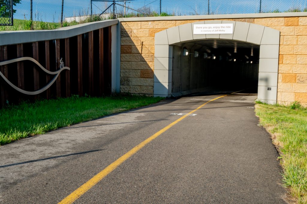
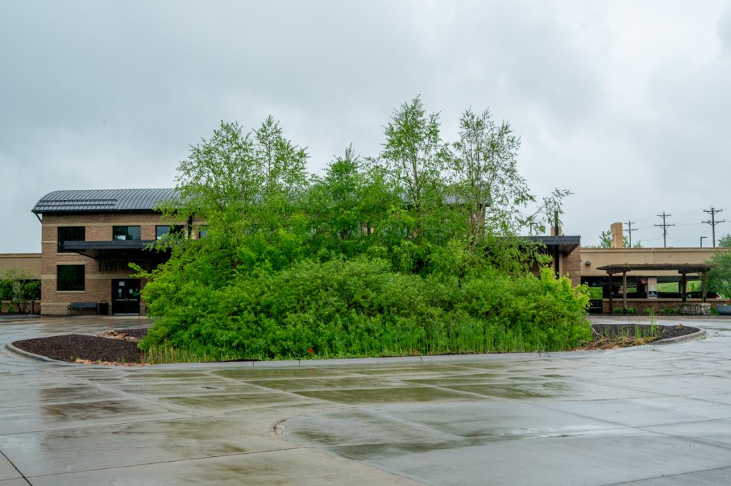
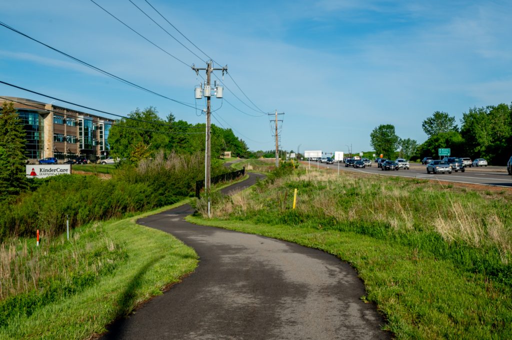
After a quick breakfast, I set out. Crossing Century Boulevard, I joined a dedicated pedestrian and bike trail. Near the Life Time Fitness corporate headquarters, I discovered a pillar dedicated to Jeff Melby, an outdoor enthusiast and Life Time employee who passed away from cancer, for whom the trail is named. It was a touching find, making the walk feel even more meaningful. I reflected on how having a trail named after oneself would be a wonderful legacy.
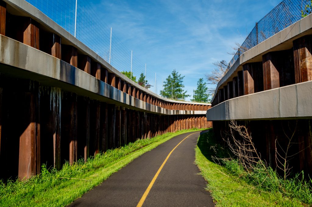
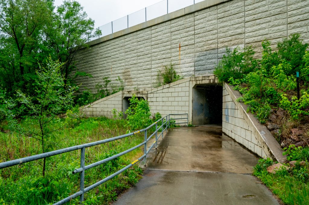
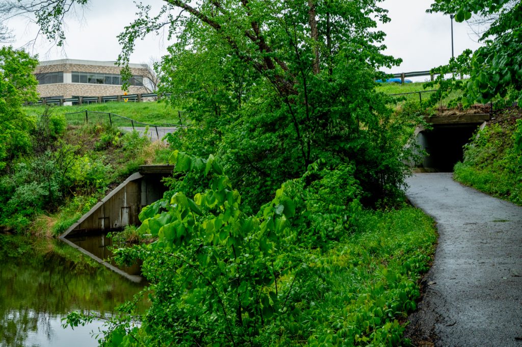
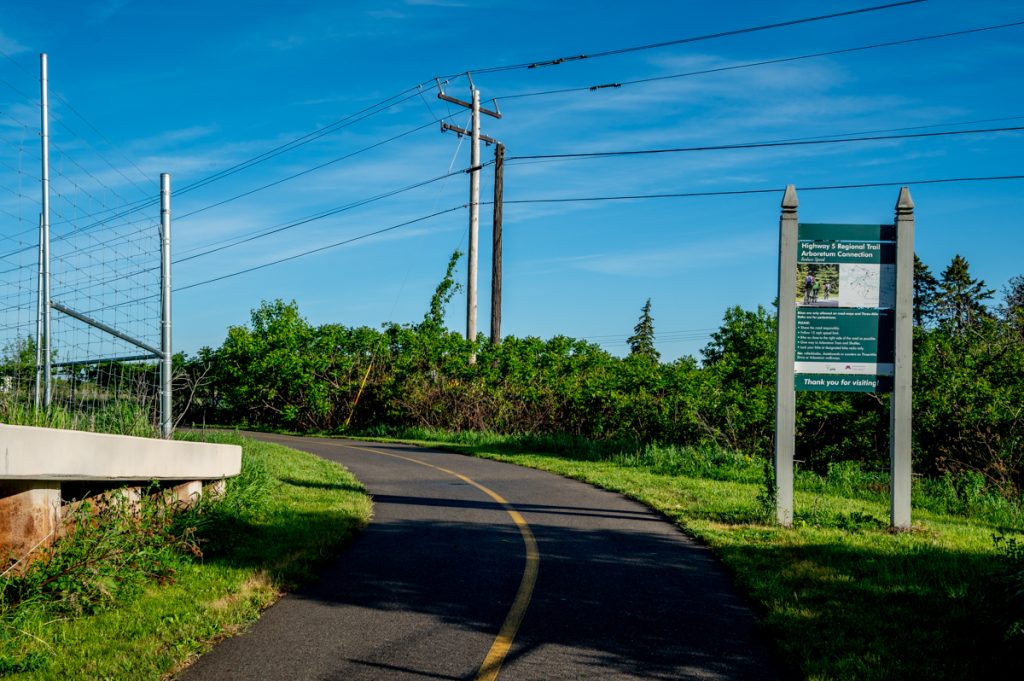
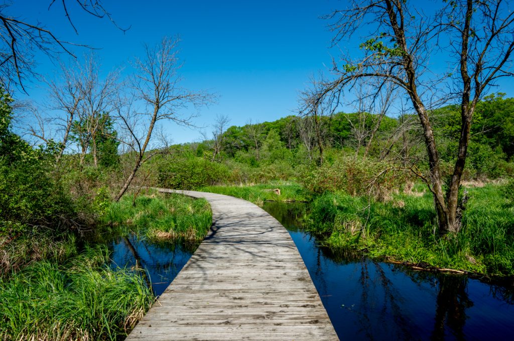
At Hazeltine Boulevard, I passed through a cool tunnel onto a regional trail, which offered an incredible route leading directly into the Arboretum. Walking here felt like moving through an art installation.
Arriving at the gatehouse entrance, I showed my pass to the attendant and entered. The pedestrian experience wasn’t ideal — clearly, the entrance was designed primarily for cars, with no sidewalks or other infrastructure for pedestrians — but once inside, I noticed the early morning activity. Groundskeepers zipped around in carts, and a few gardeners were already busy. I realized I was about 45 minutes early for the visitor center opening.
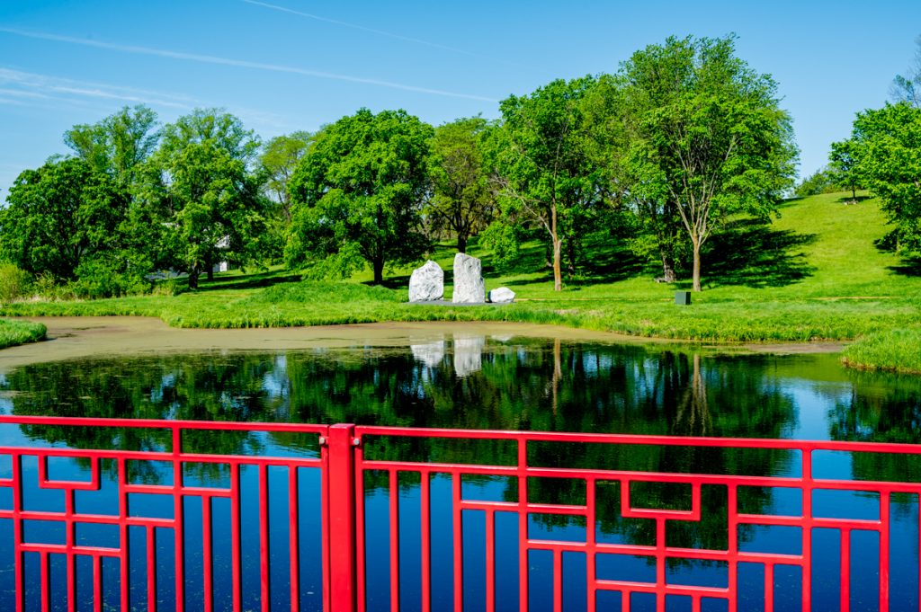
I strolled around the nearby gardens, including the Fisher Japanese Garden, featuring a koi pond. Instantly, I started smiling, confident it would be a good day. Not wanting to embark on a long walk without water, I waited about 20 minutes for the visitor center to open and then refilled my water bottle.

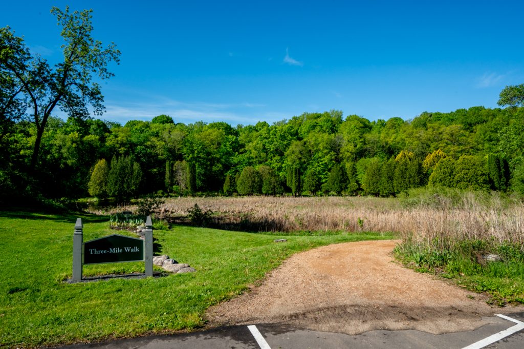
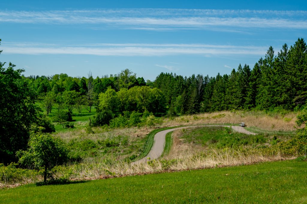
The primary attraction is the Three-Mile Walk and Drive, which is where I began. The paths for pedestrians and cars sometimes overlap, which was confusing, and a few signs stating “cars only” felt oddly jarring but for the most part they are separate experiences.
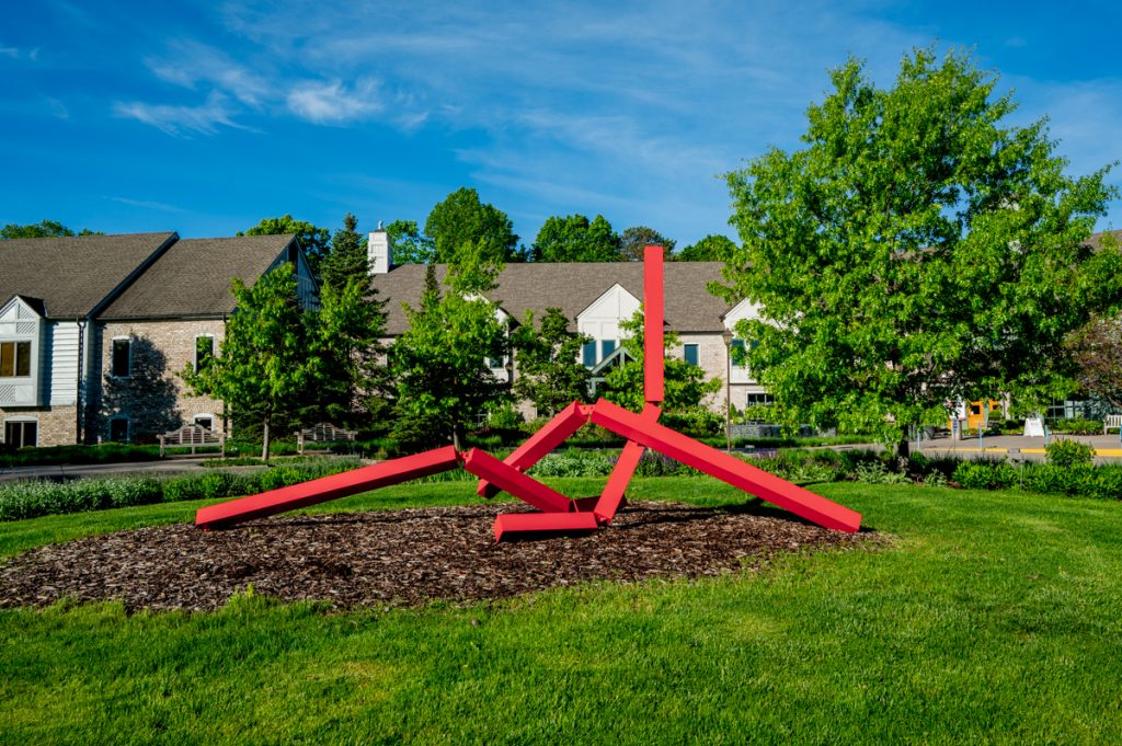
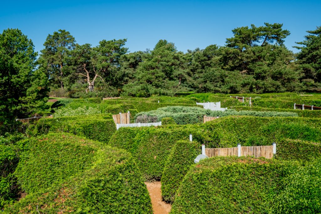
Opportunities for photography were abundant, and I was especially eager to visit the Harrison Sculpture Garden. By mid-morning, the paths grew busier. At the Maze Garden, a large, enthusiastic group of schoolchildren nearly overtook me. Though their excitement made me smile, I quickly moved on to avoid the commotion.
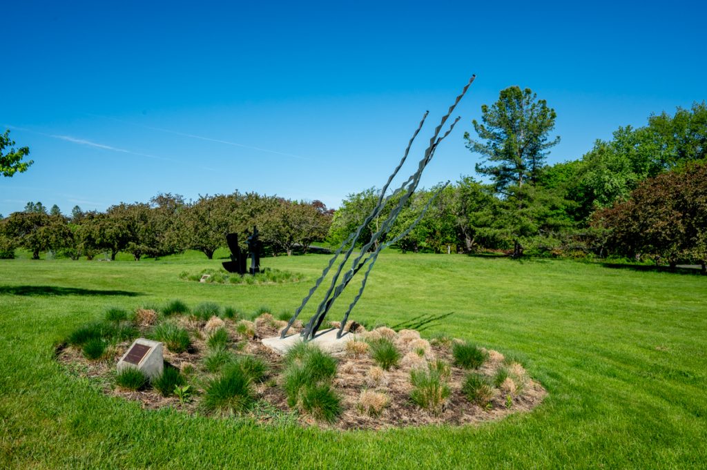
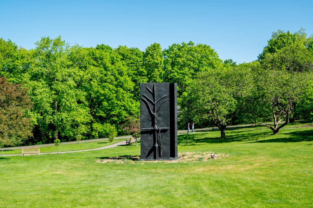
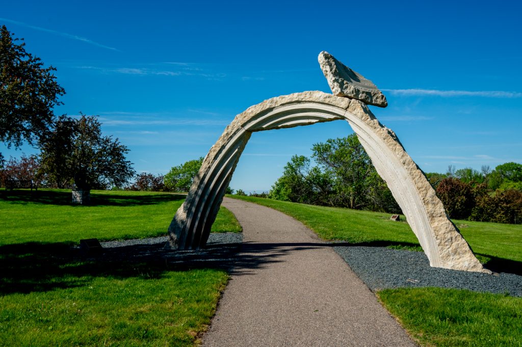
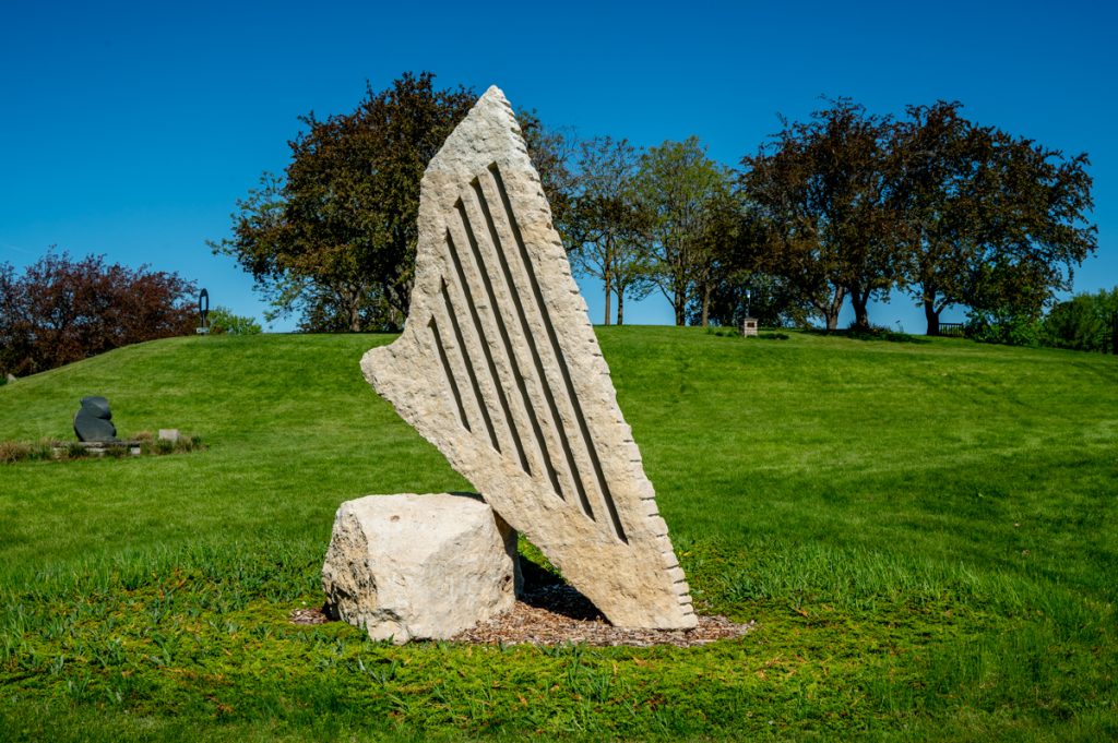
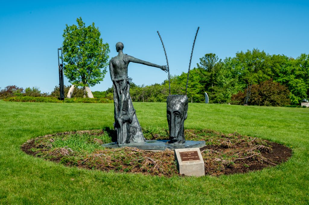
Sculptures at the Harrison Sculpture Garden
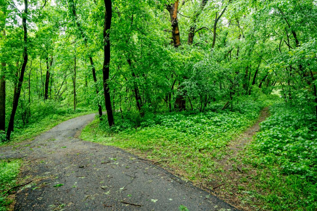
After completing the Three-Mile Walk, I paused for a snack break. With plenty of energy remaining, I decided to explore additional trails that ventured deeper into the Arboretum — less crowded and more natural compared with the manicured gardens.

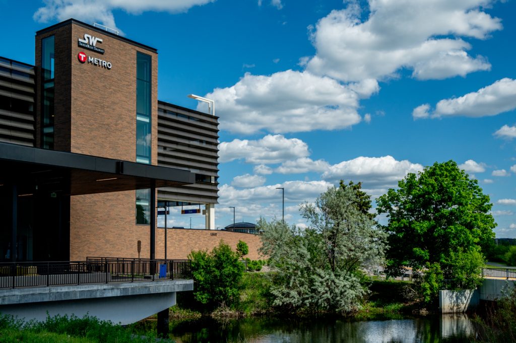
Exhausted yet exhilarated, I eventually concluded my visit, confident I’d return again. Retracing my steps back to the Holiday Inn, I called SW Prime dispatch for a ride. This time it took about 10 minutes to reach someone, but once I did, the shuttle arrived promptly within another 10 minutes. Soon, I was on my way to Southwest Transit Station in Eden Prairie to catch the 686L back to Minneapolis. This local bus made several stops along the I-494 corridor, including the 76th & Knox Orange Line station.
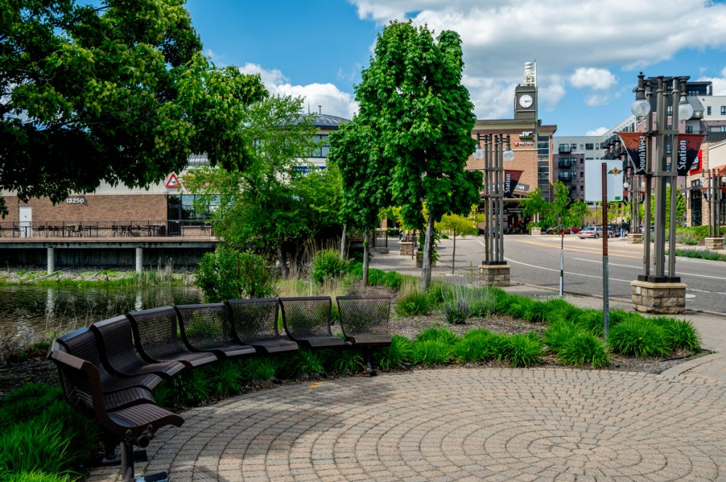
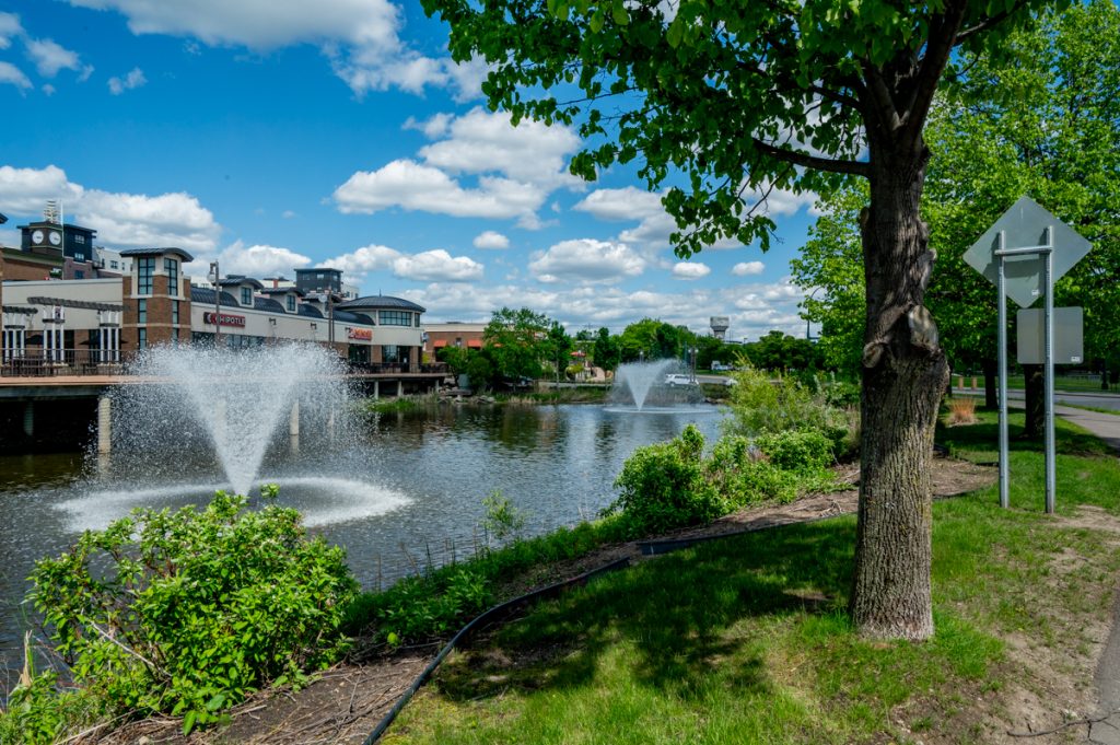
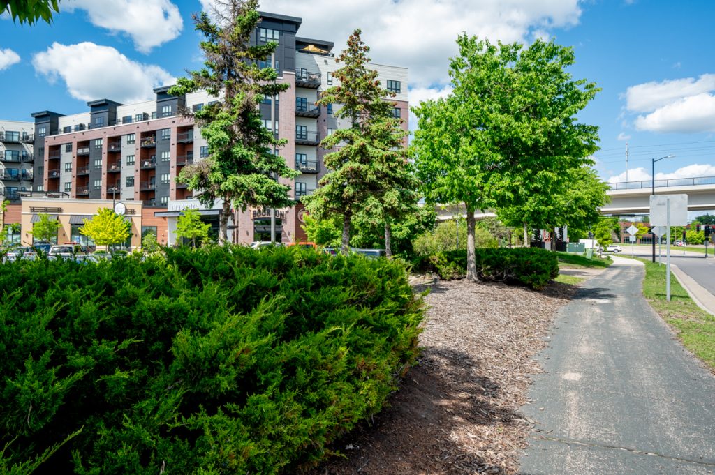
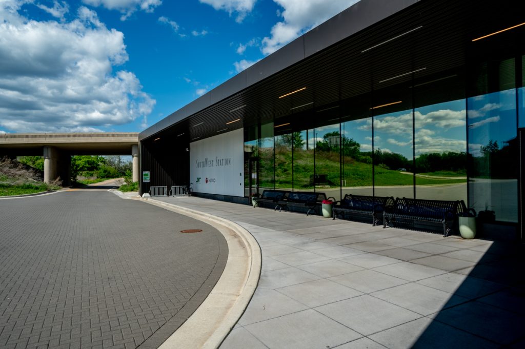
Upon arriving at Southwest Transit Station, I stopped for a meal and beer at Brick & Bourbon, part of the transit-oriented development at the station. From my previous visits, I’d become intrigued by the apartment complex, wondering if residents were drawn specifically by the transit options.
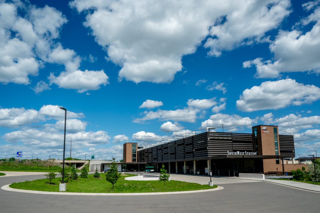
I spent about an hour photographing around the station, contemplating how fascinating this development will be when the Southwest Green Line Extension opens in 2027. It’s poised to become one of the most significant transit-oriented developments in the Twin Cities, sparking my interest in documenting these locations more comprehensively in the future.
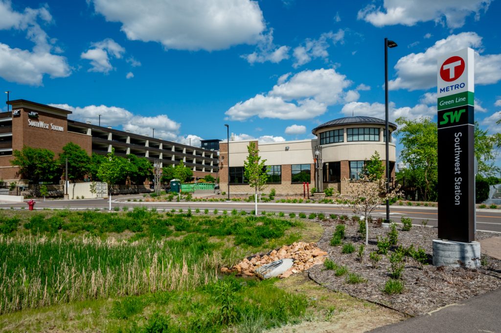
SouthWest Station, Eden Prairie
Inspiration sharpens my vision, and finding intriguing angles becomes almost instinctive. Exploring the wider area around the station will certainly be worthwhile, particularly in assessing its walkability, given that these developments often prioritize cars for park-and-ride excursions and are challenging to navigate on foot due to expansive parking lots.
The trip on the 686L wasn’t ideal. The young driver was inattentive and drove overly fast. Moreover, the vehicles felt more like airport shuttles than proper buses, though they served their purpose. Fortunately, the connection to the Orange Line was seamless, quickly returning me to Downtown Minneapolis.
Overall, I came away impressed with SW Transit, particularly the SW Prime service. A day trip to the Arboretum via transit is viable for anyone living in Minneapolis or St. Paul. Exploring new ways to navigate the metro area by transit is always rewarding, and I believe SW Transit is onto something promising. Although the extensive freeway travel remains a downside for me, I’m keen to explore further the potential of micro-transit solutions like SW Prime.
Perhaps my next adventure will be a SW Prime trip to Paisley Park — a SW Prime Prince experience, ideally without literal purple rain.
All photos by Bryan Formhals