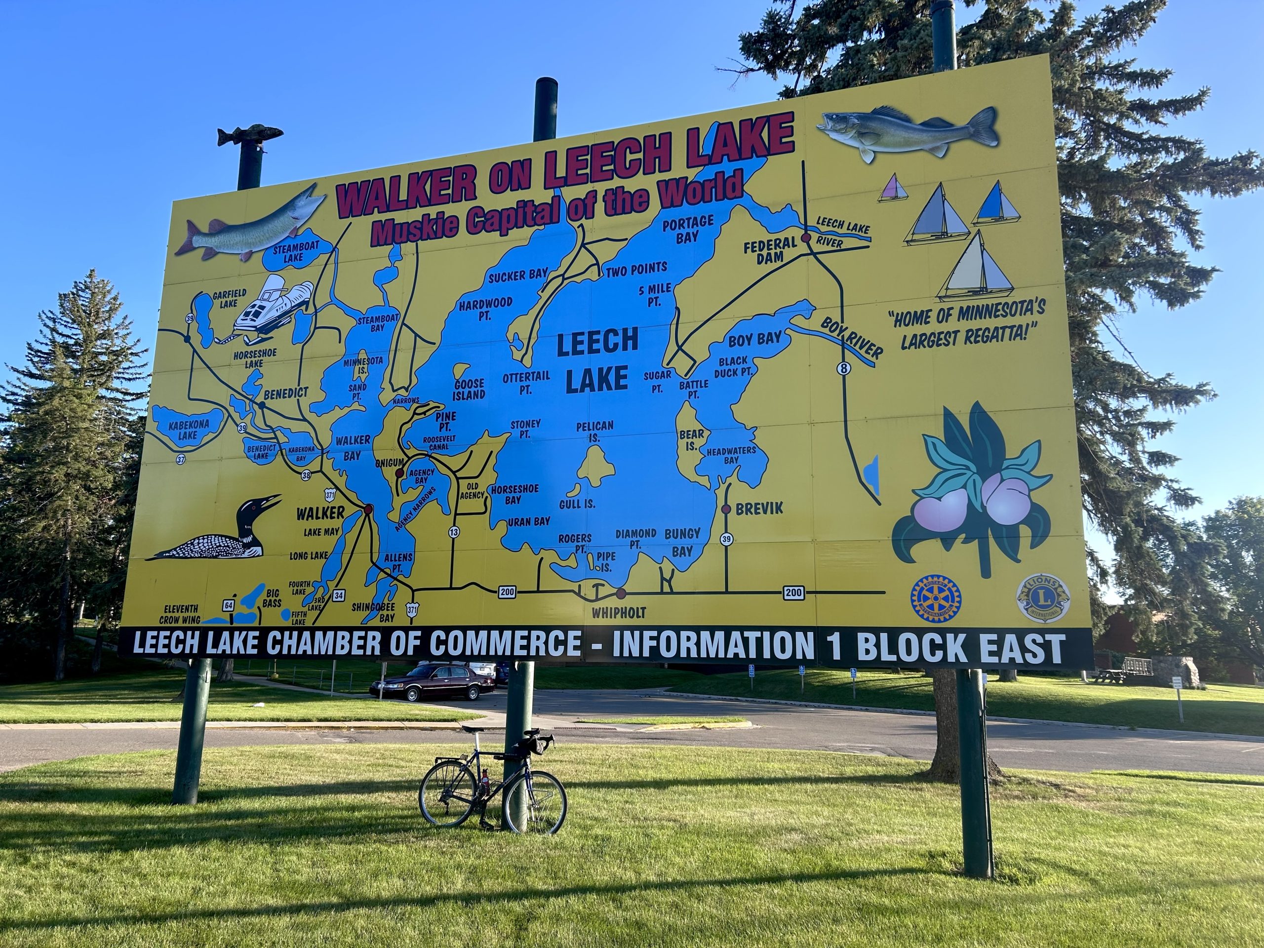
This summer, I had the pleasure of spending several spare afternoons in Walker, on the western shore of Leech Lake. Left to my own devices while my teen hung out with their friend, I did what any indulgent parent would do. I rode my bike.
As someone who’s generally content to ride the same Twin Cities routes over and over, I was genuinely surprised how much I enjoyed Walker’s excellent network of paved trails. What follows is an appreciation of what I found.
An old lumber town turned northwoods tourist destination, Walker was named in 1896 for Thomas B. Walker, a Minneapolis lumber baron who became one of the world’s richest men. City founders had hoped to flatter Walker into building a sawmill there, which is kind of like naming your town Bezos in hopes of attracting a data center. But Thomas Walker’s Red River Lumber Company chose nearby Akeley instead.
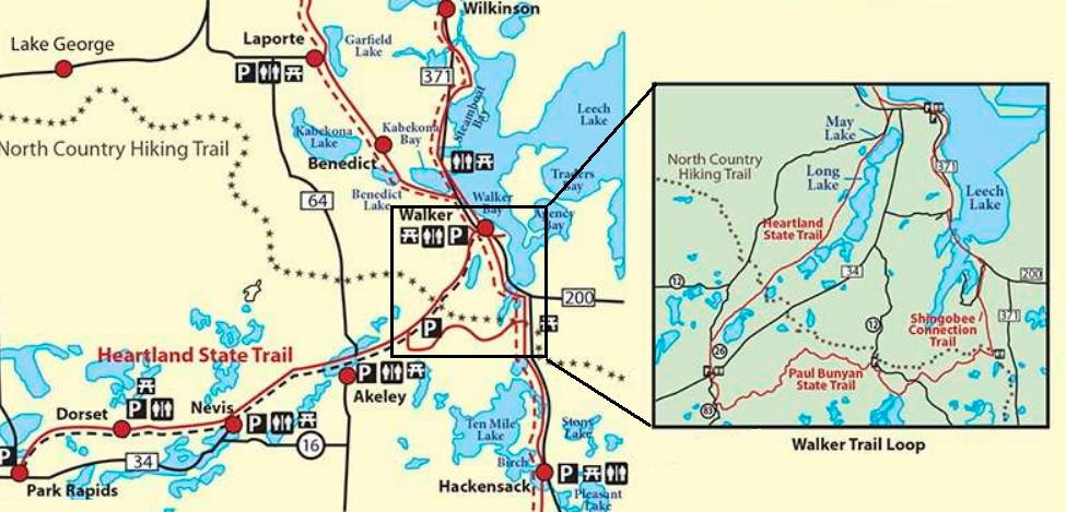
Today, Walker sits at the intersection of two state bike trails: the Heartland trail, which runs from Park Rapids to Cass Lake, and the Paul Bunyan Trail, which runs from Crow Wing State Park to Bemidji. In 2013, the community completed construction of the Shingobee Connection Trail, which completes a remarkable 23 mile triangular loop of paved trails.
It’s clear that Walker and the other towns along these trails understand the importance of bicycle tourism. Towns advertise their connections to trail networks and every trailhead I visited was well marked and maintained.
The Shingobee Connection
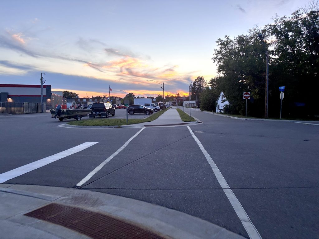
If you ride clockwise from Walker, the first segment is the Shingobee Connection Trail, which runs along Highway 371. In downtown Walker, the trail is thoughtfully built up and mostly protected from traffic until the city park along the lakefront. Be sure to visit one of the outdoor public restrooms to fill your water bottle, they’re the only water sources on the loop.
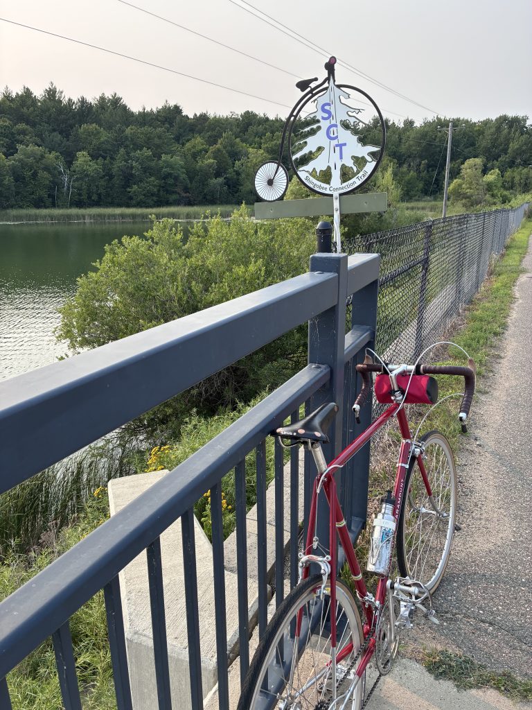
South of Walker, the trail crosses Highway 371 at grade, then weaves up and down some spicy hills through the woods before rejoining the highway to cross the mouth of Shingobee Bay. Along the way, you might climb briefly up Ah Gwah Ching Road to see the former site of the Minnesota State Sanatorium for Consumptives, which treated tuberculosis patients from 1907 until 1962. Later, it served as a nursing home. The state demolished the building in 2010–all that remains is a stone gazebo, a faint memory of the thousands of people who hoped for health or awaited death in the fresh northern air.
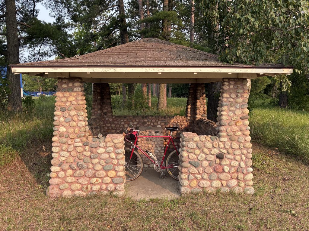
From there, the Shingobee Trail evens out and continues though woods and marshland through the southwest corner of the Leech Lake Band of Ojibwe reservation. After a couple of miles, you’ll reach the first corner of the loop’s triangle and the entrance to the most exciting 8 miles of paved trail I’ve ever experienced. But before turning right to continue the loop, you may want to add 15 miles with an out-and-back visit to Hackensack.
Hackensack Side Quest
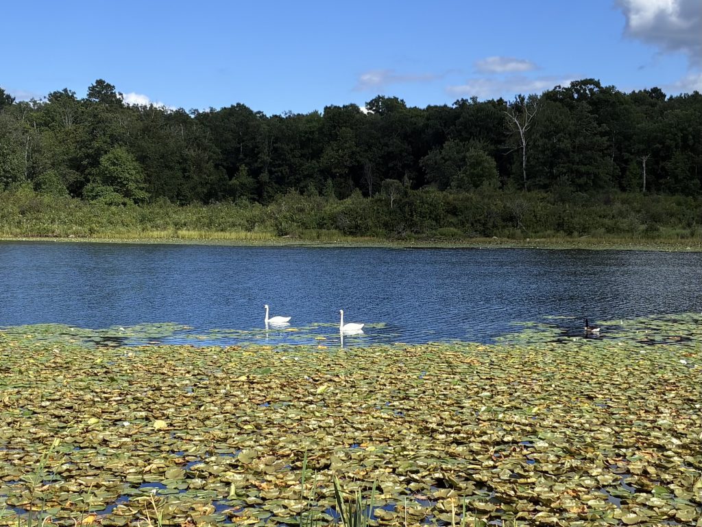
The side quest to Hackensack follows the gentle grade of an old railroad, offering uninterrupted views of lakes, forests, marshlands, and a few small farms.
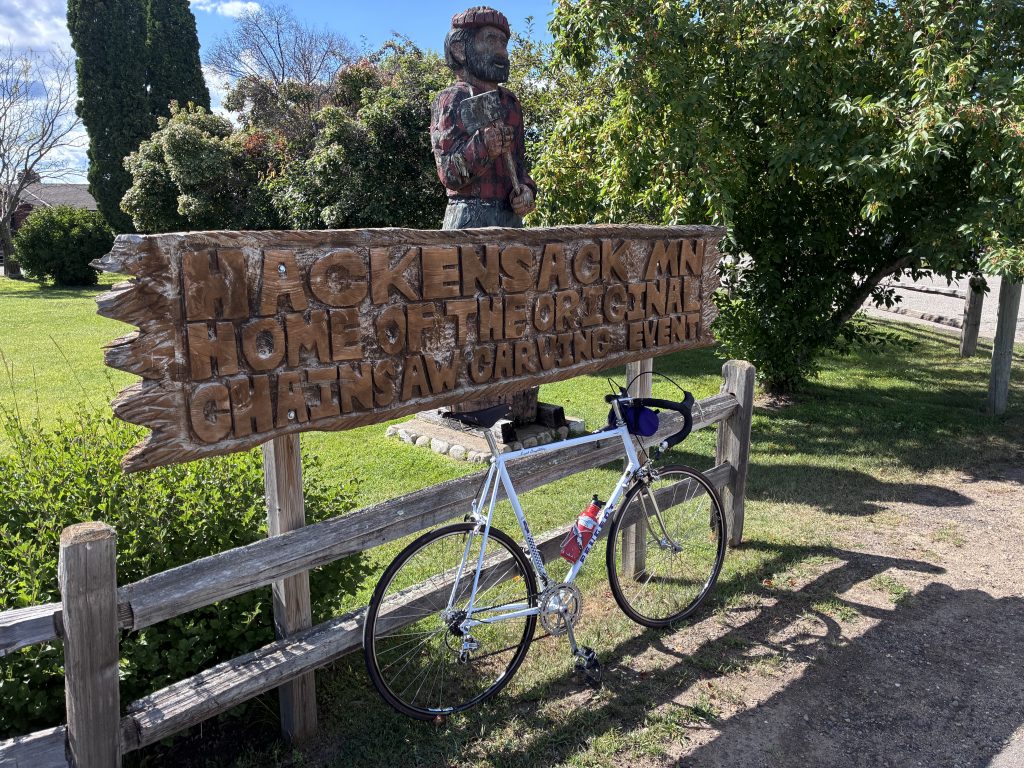
Eventually, the trail enters directly into a pleasant city park along Birch Lake in Hackensack. Nearby, there’s a public dock, several restaurants, and a coffee shop. A chainsaw carved sign in the park explains that the town is home to the Original Chainsaw Carving Event.
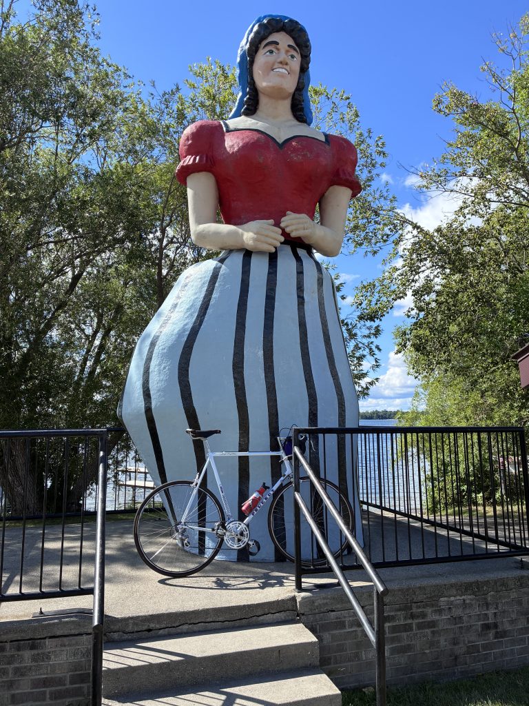
This tiny town seems to have a unique flair for self-promotion and claims to be home to Lucette Diana Kensack, Paul Bunyan’s sweetheart. Lucette was invented by a local businessman in the 1950s to promote Hackensack as a tourist destination. Her 17 foot tall statue stands in the city park, part of a proud pantheon of fiberglass giants throughout the north woods.
Hackensack is very small, but recent improvements to Highway 371 include wide sidewalks, curb bump outs, and a roundabout that slows traffic, making a cyclist want to linger. But the rest of the Walker Loop is waiting…
The Rollercoaster
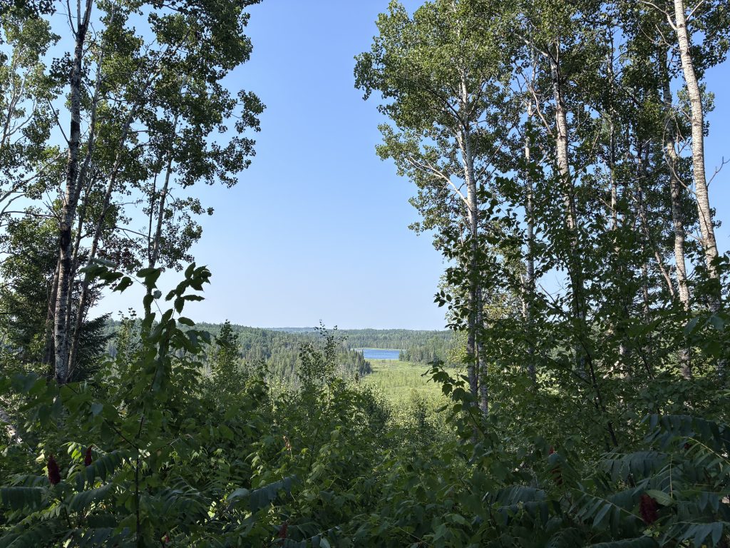
The second leg of the Walker Loop is on the Paul Bunyan Trail as it cuts westward through the Chippewa National Forest. This segment is no gentle rail trail–it’s an undulating curving rollercoaster. One moment, you’re bombing down a hill. Seconds later, you’re mashing gears up out of your saddle to climb a sudden steep hill. You reach the top, but watch out–there’s a hairpin turn waiting at the bottom of the next hill. This trail requires all your wits and all your gears.
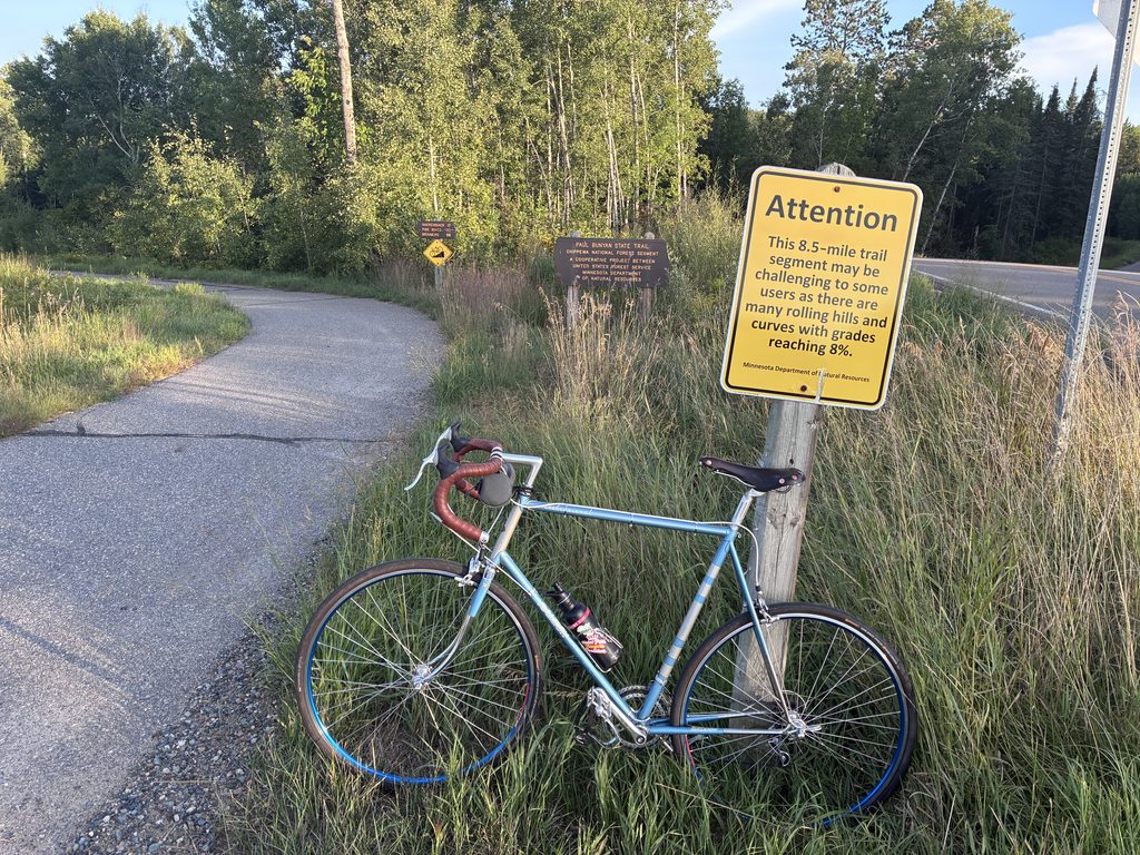
This 8 mile stretch is marked at both ends with warning signs to discourage inexperienced cyclists. And rightly so–if there were any such thing as a black diamond paved bike trail, this would be it. It’s thrilling, especially on the downward slopes and the tight turns. Small hazards that wouldn’t be a problem on a normal trail become monstrous here. On a recent ride, I hit a small patch of mud just before a turn and very nearly yeeted myself into a tree.
Ravens watch from tree branches and deer linger along the trail. Once, on a ride in the early evening, I encountered a black bear hanging out in the middle of the trail, a first for this city cyclist. It quickly ran into the forest and was nowhere to be seen when I passed where it had been.
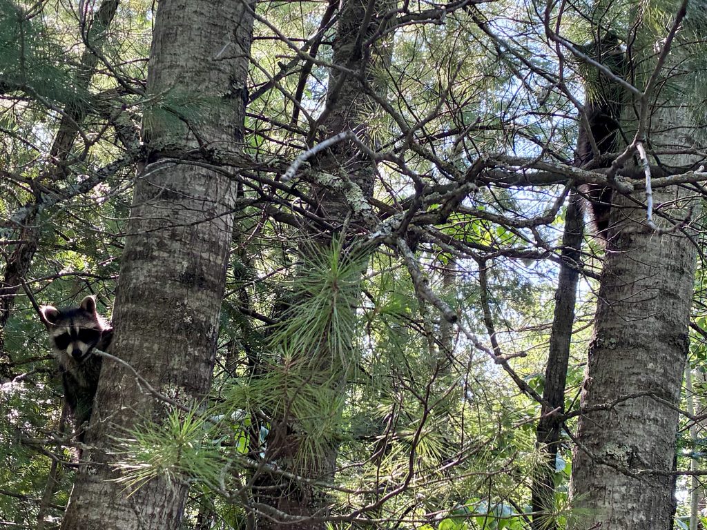
Besides a few dirt road crossings, some benches and telephone poles, you’ll see very few signs of civilization. The forest is a mix of birch, aspen, oak, balsam, and red pine which smells very different from the woods of southern Minnesota. Late summer cone flowers and black eyed susans bloom along the trail, often with monarchs hovering above. Be sure to wear glasses of some kind–you’re likely to encounter swarms of grasshoppers and large dark dragonflies.
Akeley Side Quest
Before finishing the loop back to Walker, let’s ride five miles west and visit Akeley, where Thomas Walker’s Red River Lumber Company built the state’s largest saw mill in 1905. With just 400 residents today, it’s pretty sleepy compared to its boomtown days. Like Hackensack, it welcomes visitors with a lovely town park and newly built wide sidewalks. But its main street is quiet, offering a few storefronts in old brick buildings, a gas station, and a Dollar General.
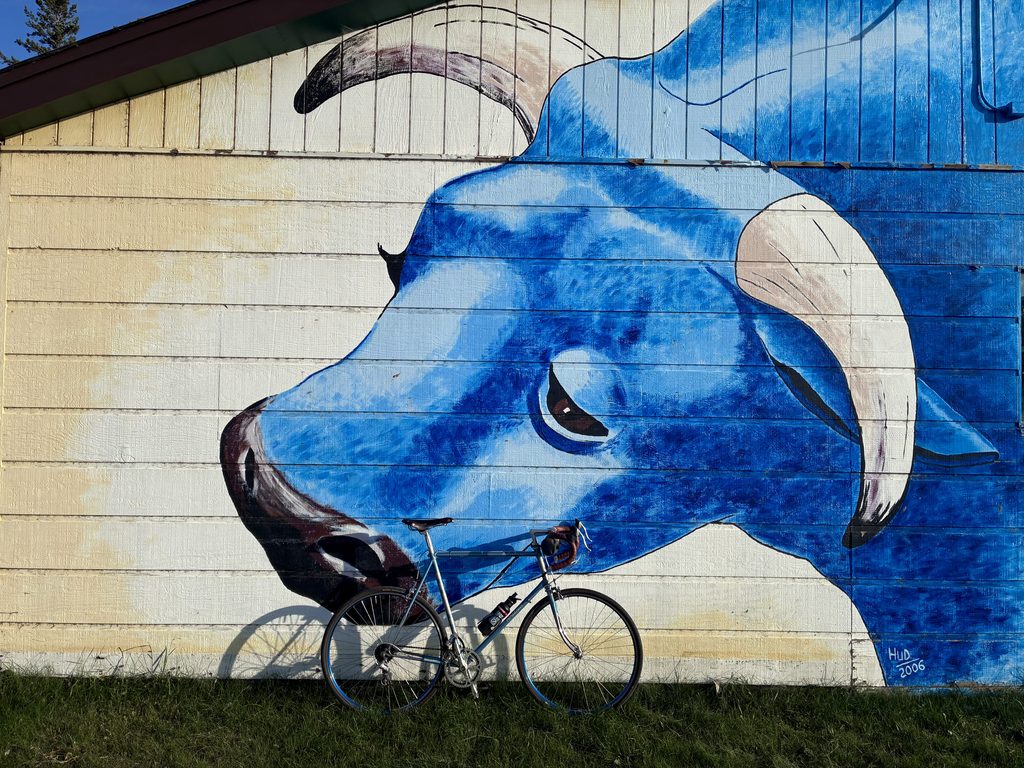
Akeley claims to be the birthplace of Paul Bunyan–an odd claim that is kind of true. Folklorists debate the true origins of Paul Bunyan stories, but it was the Red River Lumber Company that embellished them to mythic proportions as a marketing gimmick to sell lumber from Akeley’s massive mill.
In Minnesota, lumbering was so intense, 98% of our original old growth forests were cleared by the late 1920s. When the boom ended, towns like Akeley nearly disappeared, its natural wealth extracted away to Minneapolis and beyond.
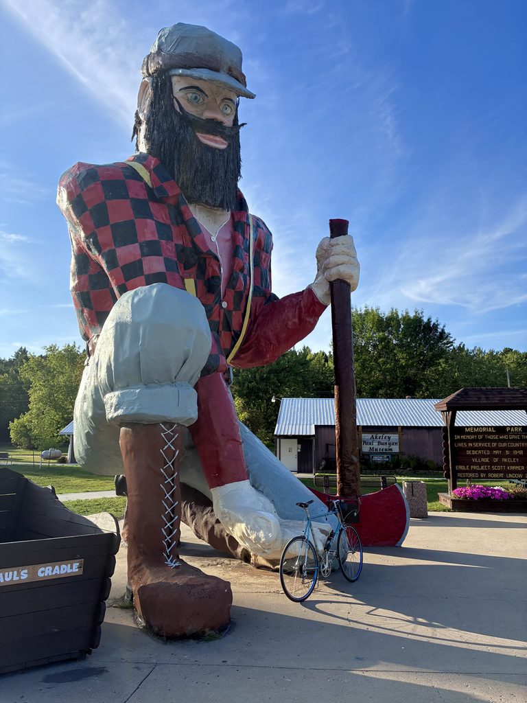
Three generations later, the people of Akeley built their own Paul Bunyan statue on the side of the highway in 1985 out of steel and fiberglass. He’s taller than Brainerd’s or Bemidji’s statues, but he’s also more of a gentle giant–kneeling down to greet visitors, his axe resting on the ground. His blue eyes are kind but locked in a thousand yard stare that hints at the trauma he’s experienced. As vernacular art, this Paul feels like a bridge between a destructive past and a distant future when gigantic pines tower above mere mortals once again.
Standing here, I found myself thinking of another public artwork from the 1980s. One hundred and seventy-eight miles south, the art museum that bears Thomas Walker’s name commissioned a giant spoon holding a cherry, a postmodern landmark by the side of a highway that signifies nothing in particular except, perhaps, whimsy in the service of wealth.
The Heartland Trail
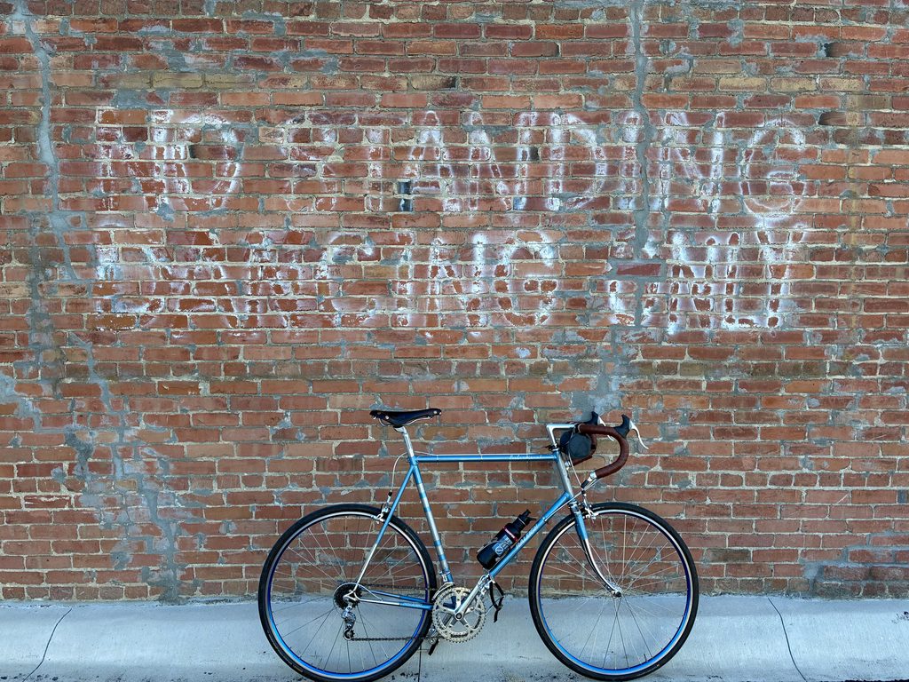
The final third of the Walker Loop is the Heartland Trail. Riding clockwise saves this straight gently sloping rail trail for last, a nice cool down from the previous segment. Here, all the hills were evened out over a century ago for a branch line of James J. Hill’s Great Northern Railway, which carried loads of old growth lumber out of the north woods. As you ride, you can see how much earth workers had to move to lay the rails. In some places, it’s piled to the side of the trail; in another, the trail rides high on a berm above a marsh.
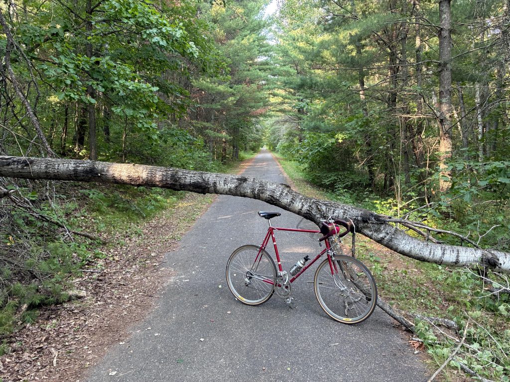
The Heartland trail isn’t close to a highway, but it doesn’t feel as isolated as the previous segment. There’s a few dirt road crossings and a brief glimpse of horses grazing in a clearing. Nearing Walker, the trail follows the western shore of Long Lake. Dirt trails lead from the lake up to mostly unseen cabins on the other side of the trail. Then, suddenly, the trail emerges into a neighborhood, tucks through a tunnel under the highway, and continues north.
The Heartland Trail continues northward along the shore of Leech Lake, but from here it mostly follows Highway 371 and offers few places to enjoy the big lake. Most of the lakeshore is taken up by resorts and large houses that people refer to as cabins.
Return to Walker
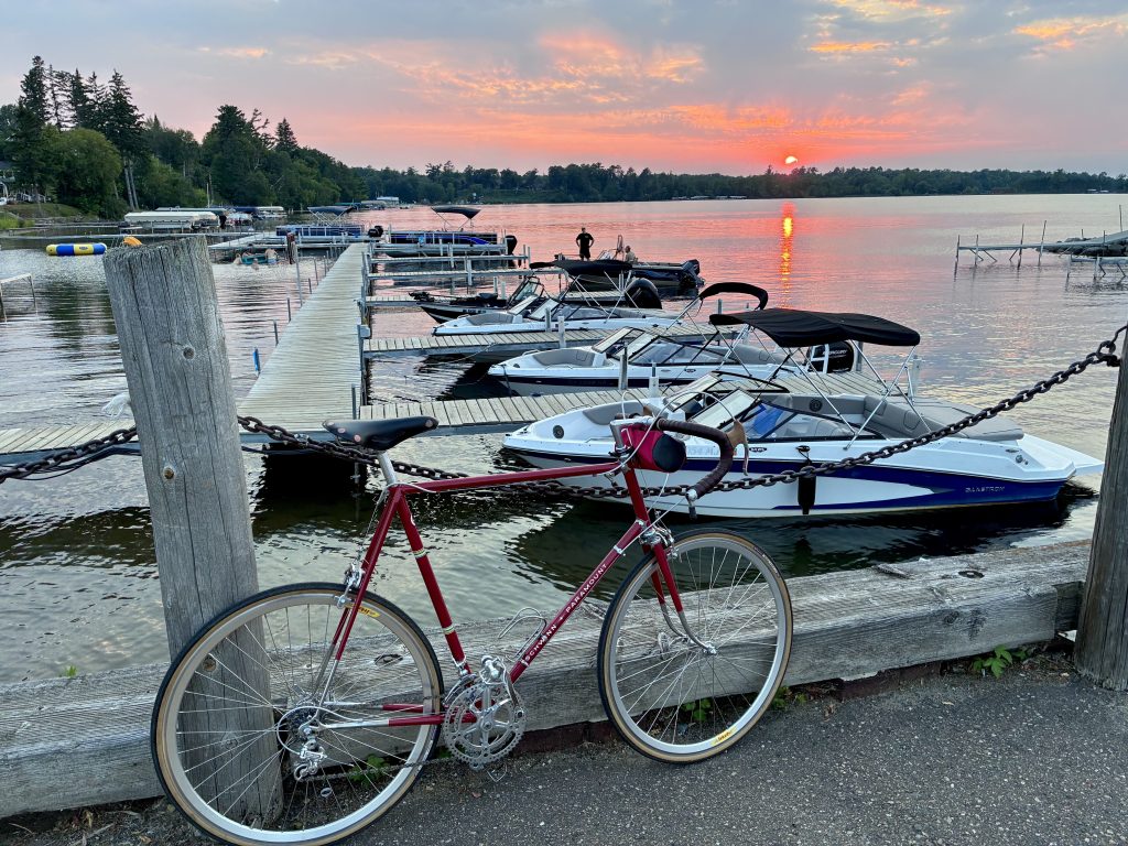
A quick turn off the trail sets us eastward, back toward downtown Walker. If you’re hungry, I’d suggest Tacos De La Calle, a surprisingly good taco stand near the public dock with outdoor seating and a walk up window for ordering. Then, if you’ve timed things right, sit on the dock and watch the sun set over Leech Lake. I hope you enjoy it as much as I have.
All photos by the author.