Editor’s Note: Max Hailperin is walking each of Minneapolis’ 87 neighborhoods, in alphabetical order. He chronicles his adventures at allofminneapolis.com, where the original version of this article was published July 6, 2026.
Every All of Minneapolis walk has some backtracking. This one had nothing but. In contrast with the western part of Northeast Park, where I could loop my way through the street grid, the straggly east demanded a collection of relatively straight paths past a shopping center, two cemeteries, and an aerospace company.
I started at Johnson Street, at the western edge of this day’s range, and eventually wound up at the Roseville border on the east, only to have to retrace my steps. Part of the way from west to east, I diverted onto a side trip along the Diagonal Trail that runs along New Brighton Boulevard. First southwest to Interstate 35W, then northeast to the Saint Anthony line. And back, of course. Together with shorter segments along Stinson Boulevard and Saint Anthony Boulevard, that accounts for all the red lines on the map.
My eastward path began along 18th Avenue Northeast. A small portion of the area south of this avenue is taken up by a post office, but the majority is The Quarry Shopping Center. And that turns out to have a connection with the commemorative street sign I noticed, declaring this to be “Dziedzic Avenue.”
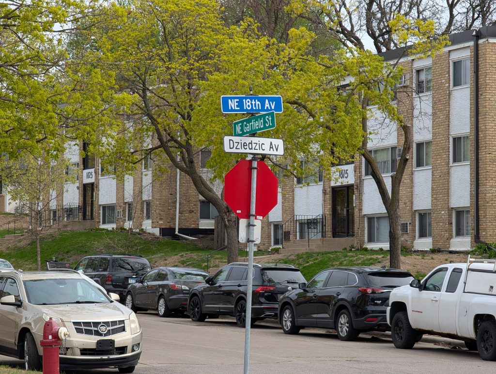
I’m a new enough resident of these parts that I immediately thought of Kari Dziedzic. An old-timer would have realized that the honoree was her father, Walt Dziedzic, who among other accomplishments was the driving force behind The Quarry. (The daughter has meanwhile received her own recognition in the form of a bridge.)
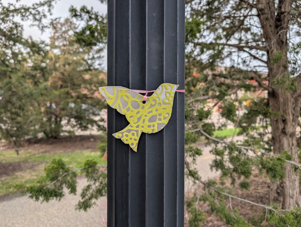
The pedestrian and bicycle path along 18th Avenue is pleasantly enough landscaped that the backsides of big-box stores don’t particularly intrude. (It’s a portion of the Great Northern Greenway.) And as always there are the little oddities, like this dove tied to a post. The world can’t have too many harbingers of peace, so I’m not unduly bothered by not understanding why one should be here in particular.
Once I turned southwest on New Brighton Boulevard, I was able to see the eastern side of the shopping center. Most of the center is comprised of a connected series of big-box stores, but there are also a couple smaller buildings standing nearby, what retailers call “outparcels” or “pads.” And one of those drew my eye, not for its architecture or tenants but for the plaque-bearing boulder in front of it.
The plaque explains that “This twelve ton granite stone was unearthed in June of 1997 during construction of the ‘The Quarry.’ This type of stone was quarried at this site in the early 1900’s and used on many of the buildings in downtown Minneapolis.”

The sliver of land southeast of The Quarry between New Brighton and Stinson Boulevards serves a practical purpose, clustering together a trio of fast-food outlets: Taco Bell, Burger King, and McDonalds. But I was glad to turn the other way on the Diagonal Trail to the more scenic portion that borders cemeteries.
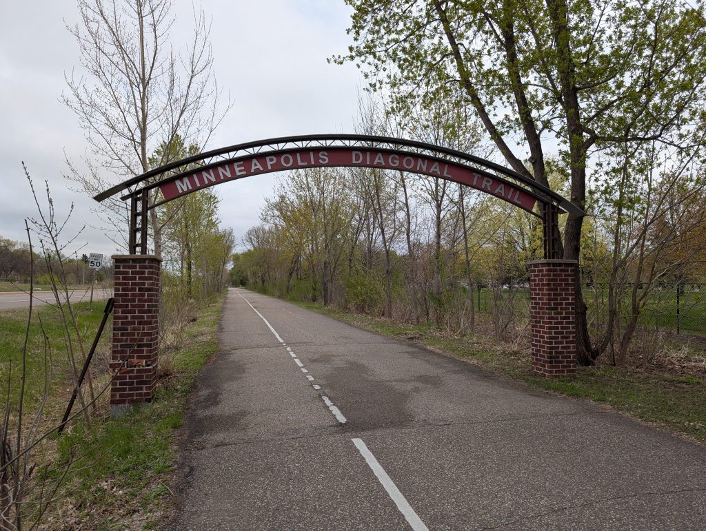
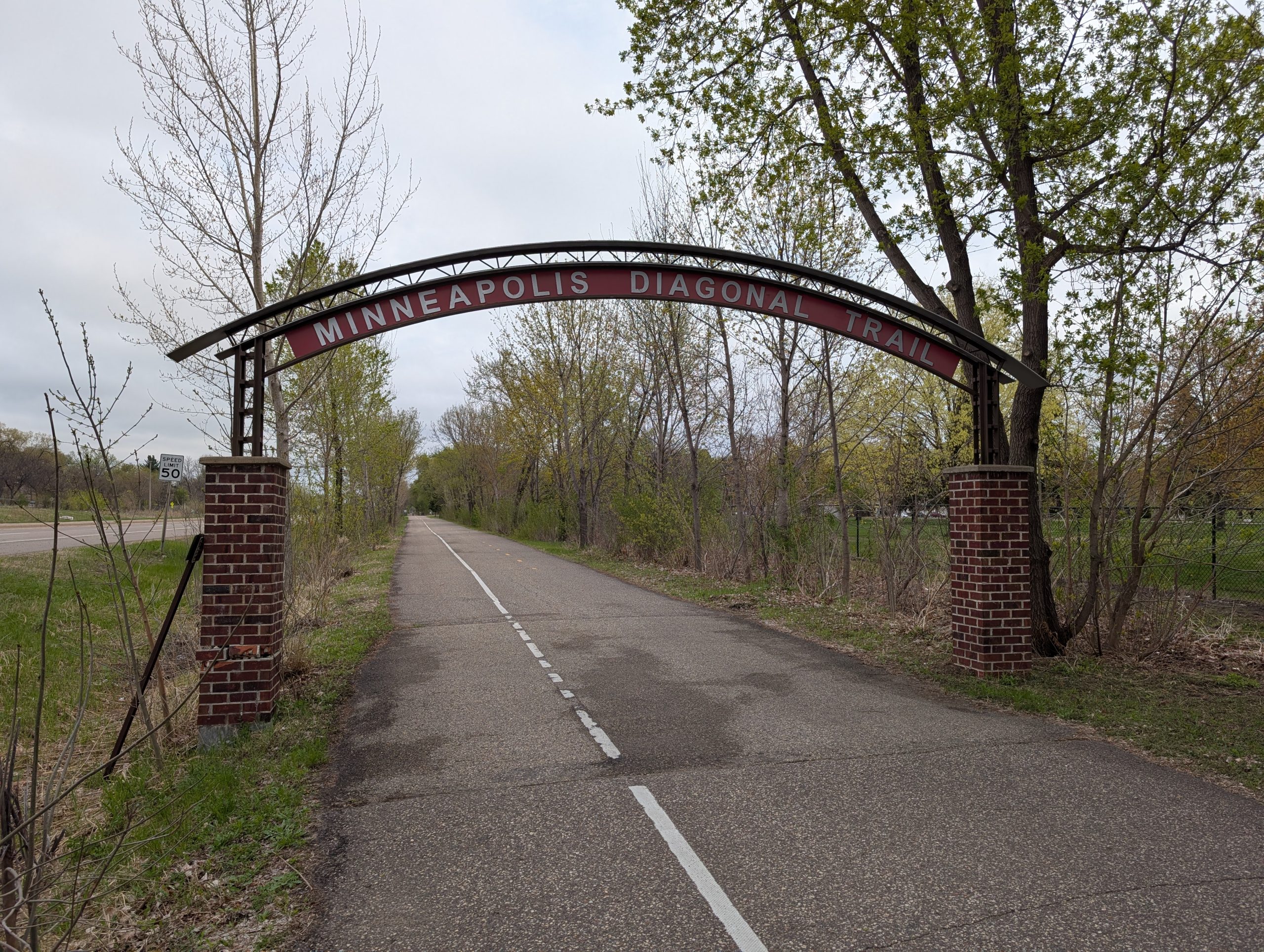
Twice now I’ve delicately called it the “Diagonal Trail” rather than the “Minneapolis Diagonal Trail,” as the sign would have it. That’s because it’s been extended beyond Minneapolis and named the Northeast Diagonal Regional Trail.
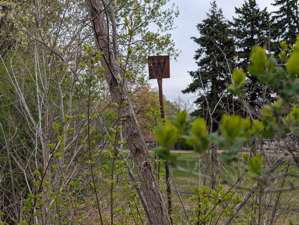
Whatever you call it, the trail runs along a former Northern Pacific Railway line. The most obvious signs of the rail-to-trail conversion are the frequently posted reminders that the corridor is owned by the Hennepin County Regional Railroad Authority. But I also spotted a more historic vestige in the overgrown area between the trail and the cemetery fence: a rusty metal sign with the letter W. That’s a whistle post, showing where the train’s whistle ought to be blown before a crossing.
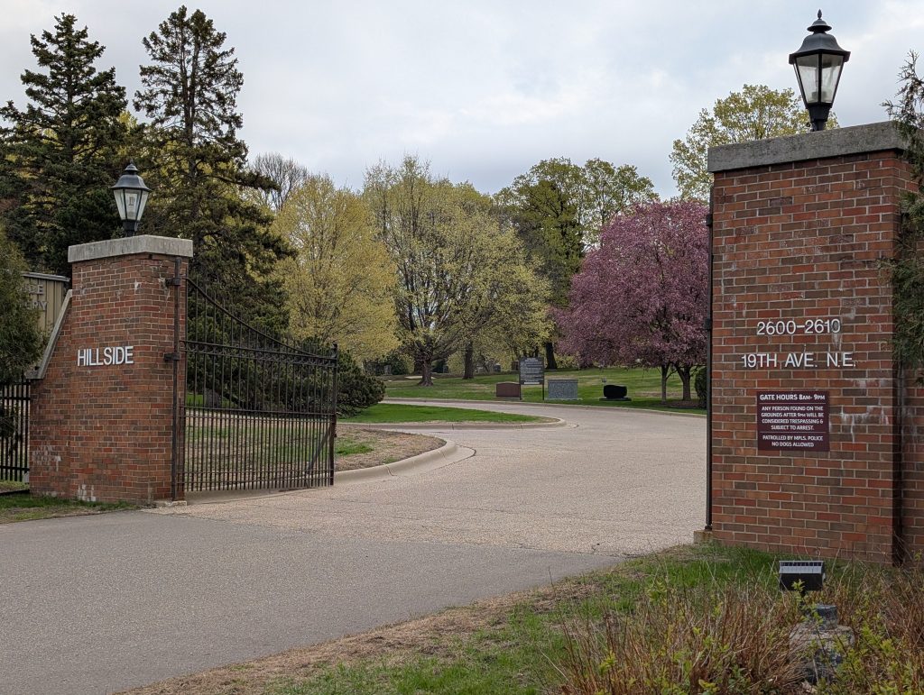
That upcoming crossing was the driveway leading to Hillside Cemetery, a parklike enclave with a couple low-slung buildings for funerals and cremation services.
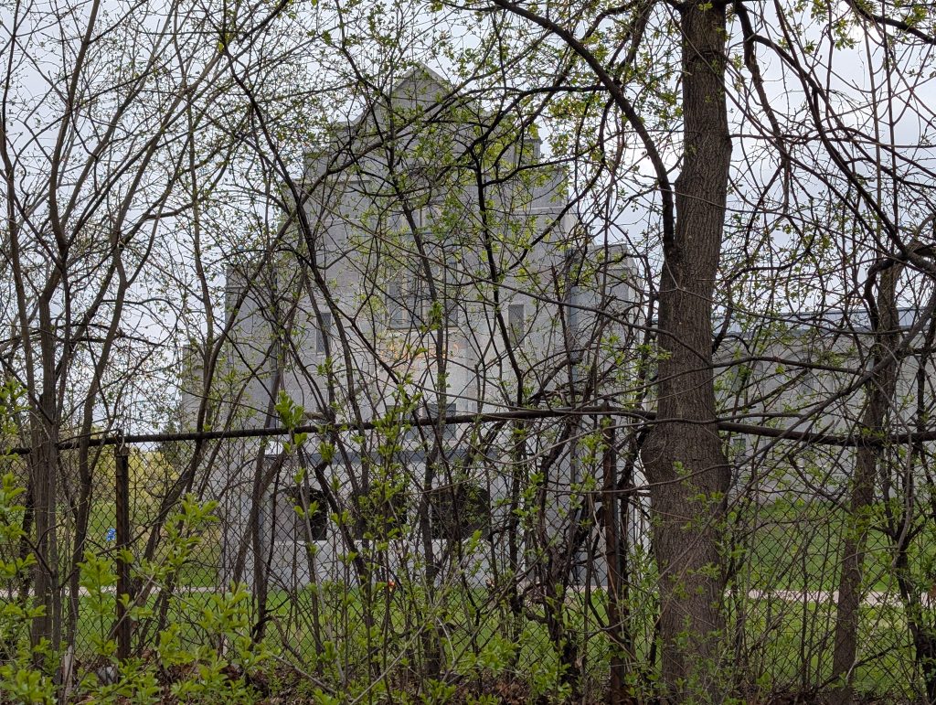
Having seen the Hillside buildings, I was rather taken aback by the massive limestone structure that somewhat further to the northeast came into view through the overgrowth and fence. I later came to understand that I had crossed a dividing line between cemeteries. (Or rather, my sight line had. The trail itself passes alongside both.) And the website for the 1933 Sunset Funeral Chapel doesn’t exagerate in describing it as “cathedral-like.”
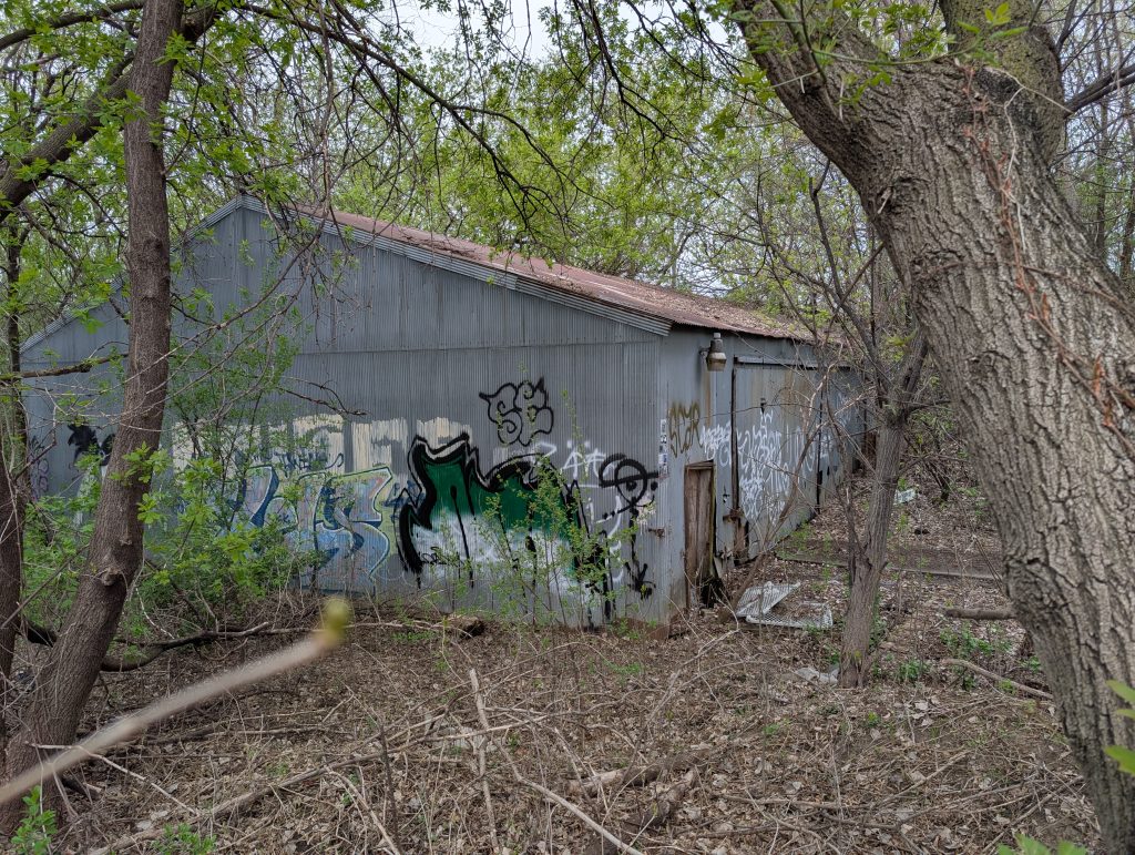
Before turning back at the border between Minneapolis and Saint Anthony, I got to see two non-public-facing structures associated with this more northerly cemetery, each tucked into the area between the trail and New Brighton Boulevard. (The public entrance is from the east on Saint Anthony Boulevard.)
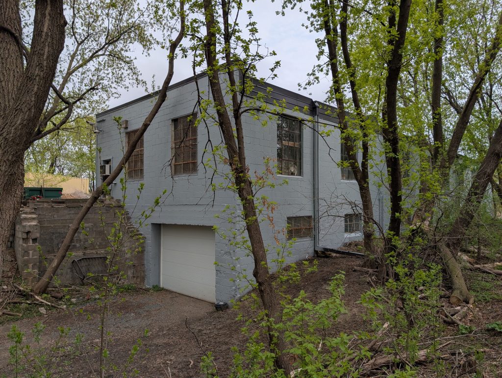
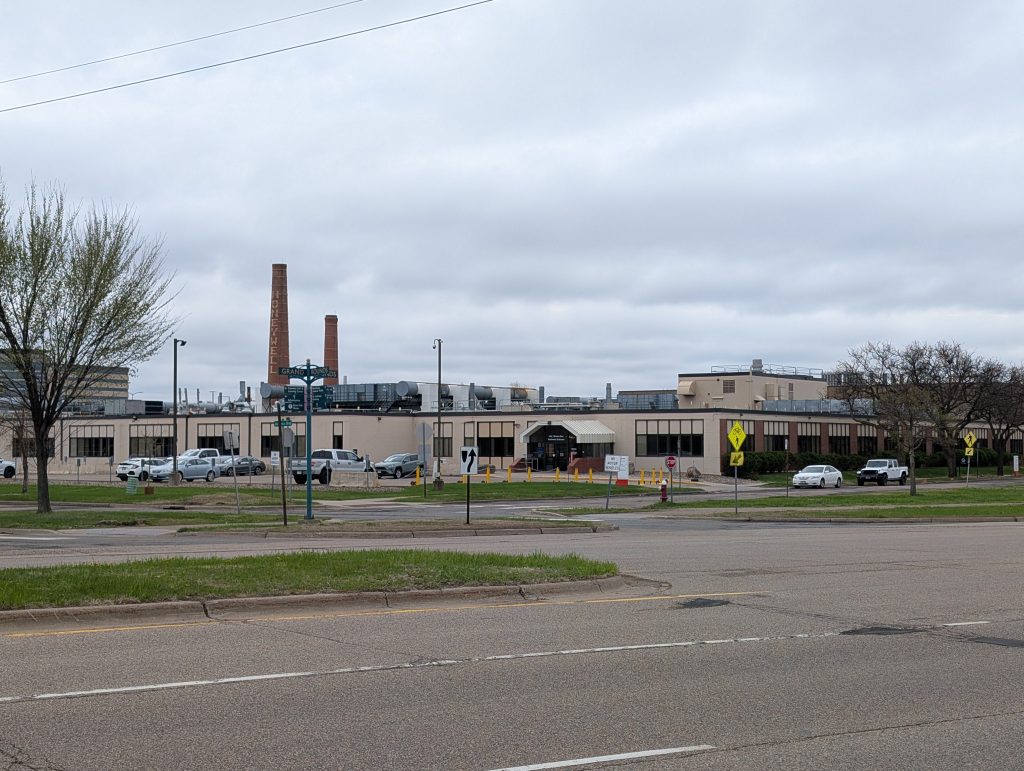
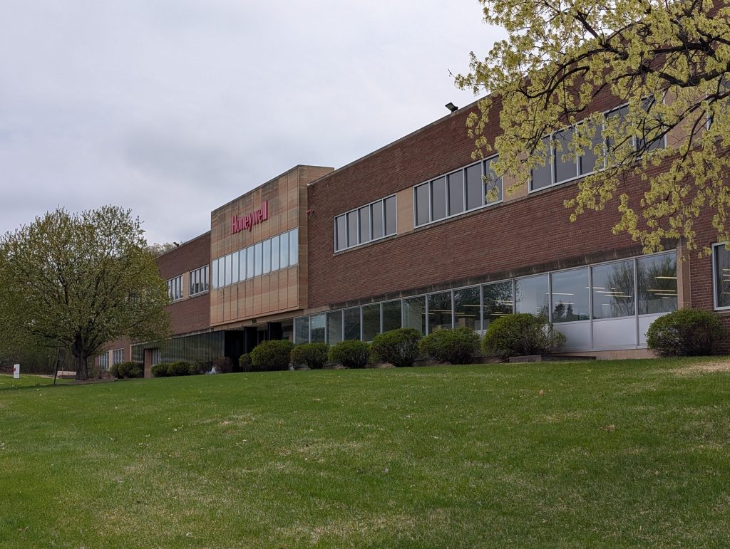
Backtracking along the diagonal trail brought me back to the area of The Quarry and the fast-food cluster. But this is also the area where Honeywell Aerospace has a facility, east of Stinson Boulevard and south of Ridgway Parkway, focused on navigation systems.
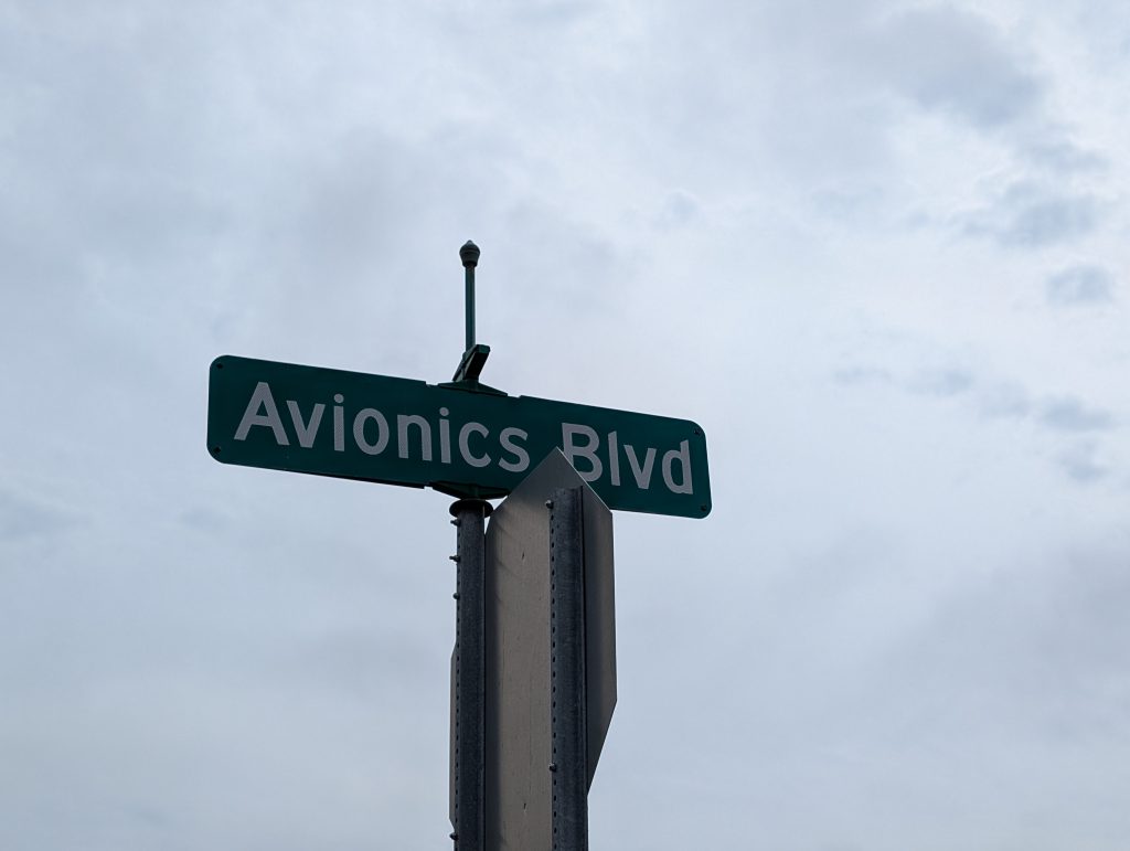
The Honeywell name is on the smokestacks and building, but the “Avionics Blvd” stree sign is also a form of branding. I wasn’t sure about its status as public or private and decided not to risk it; this kind of place tends to take security seriously. At any rate, I wouldn’t have seen anything different than from the adjoining public street.
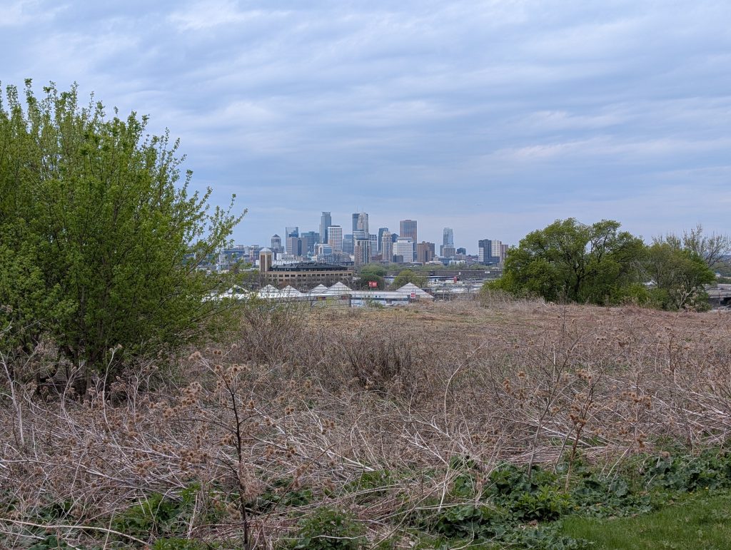
Ridgway Parkway does more than provide access to Honeywell, however. As its name suggests. it rises up along a ridge line providing a scenic overlook toward the city.

Beyond Saint Anthony Boulevard, my eastward path continued the rest of the way to Roseville along Walnut Street, a rather utilitarian road alongside the freeway with a MnDOT construction lot. Neither the street’s layout nor its name fits easily into Minneapolis conventions. Trying to understand its history is a fun little game, which I won’t spoil for anyone else. And with that, I headed home.
All photos by Max Hailperin