The Minnesota Department of Transportation’s (MnDOT) process to define the future of Olson Memorial Highway took a step forward this month. Near North residents strongly favored options prioritizing biking, walking and transit over cars, urging MnDOT to align the project with community needs.
The Olson Memorial Highway Policy Advisory Committee (PAC) met in early August to provide updates on its study of the highway corridor in the Near North community of Minneapolis. This meeting was an important touch point for elected officials, policymakers and community members as the future of Olson is decided. Beyond transportation, the project provides a rare opportunity to reconnect and restore the neighborhood , where early highway funding was used to displace its thriving black and Jewish community in 1940.

The gathering on August 8 was the final meeting of elected officials during this phase of the process, which focused on a comprehensive study to define design elements and community preferences. It also came just days before the Imagine 6th event in Near North, a community-visioning block party for residents to take part in defining the future of their neighborhood.

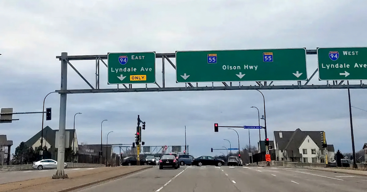
Olson Memorial Highway, one of Minnesota’s first major highways, was originally opened in 1940 and was built to ferry suburban residents and workers to and from downtown. In the process, MnDOT planners and government officials had their first crack at a racially biased urban redevelopment scheme, destroying the vibrant Near North community and displacing its Black and Jewish residents in the name of renewal.
As the corridor is reevaluated, Harrison and Heritage Park neighborhoods, Our Streets and the rest of the community are working together to envision a restored Sixth Avenue North, without the highway. Removing the highway could restore the land use potential stripped from the community by the highway development and address historic and ongoing economic, environmental, community health and other intersecting harms.
The first phase of this vision addresses significant safety concerns along the highway with short-term adjustments along the existing roadway. These concerns include excessive traffic speed, lack of marked midblock crossings and poor pedestrian and bike infrastructure. The second phase reconnects and restores community access to affordable housing, local businesses, urban amenities, green space and diverse transportation options.
MnDOT began the PAC meeting on Thursday, August 8, with a discussion about its $3.6 million Reconnecting Communities grant funding to advance current plans toward preliminary design, expand studies from Minneapolis to Medina and conduct community engagement. However, it’s unclear whether MnDOT will live up to the ideals of the reconnecting communities program, as their proposals lack ambition for actually reconnecting the neighborhood.
Given that MnDOT hasn’t yet taken basic steps to implement much-needed community safety improvements demanded by the community, this critical first step in building trust and protecting residents must come before future work on the corridor.
Evaluating Alternatives
Since March, MnDOT has evaluated designs for four highway alternatives. They feature various transit accommodations, roadway configurations, bike and pedestrian infrastructures and street crossings.
Alternative 1

The first alternative is much like what currently exists, with two traffic lanes in each direction. Separated bikeways and pedestrian spaces are an improvement, but the roadway does not meet the community’s desire for a narrower neighborhood street with dedicated transit space. This transit space is critical as the state continues to study a western BRT route to Medina in the coming years.
Alternative 2

Community members and PAC members voiced the most support for this alternative, with one car lane and one dedicated bus lane in each direction. This option also provides separated bike lanes and dedicated pedestrian space. This option is most consistent with the demands of the Bring Back 6th Coalition and a Minneapolis City Council resolution passed in 2023 calling to remove the highway.
Alternative 3

Alternative 3 features five lanes — two inbound car lanes to Minneapolis and one outbound — as well as a two-way dedicated bikeway. This is not in line with the community’s desire to downsize the roadway, which is better reflected in Alternative 2.
Alternative 4

Alternative 4 features a separate two-way bus-way divided from a two-way roadway for cars with a center turn lane. This design creates a potential safety concern if bus and car travel lanes are on different traffic signals, making crossings more difficult.
What Did Residents Think?
Generally, residents favored fewer car lanes, multimodal design and safe spaces for people who bike, walk, roll and take transit. Returning the corridor to a neighborhood main street was residents’ top priority.
On street crossings, residents overwhelmingly support reducing lanes to support safer design for residents to cross the street. Nearly two-thirds (63%) of residents responded positively to reducing car lanes to support better crossings, like those seen in Alternative 2. Support for alternatives with more lanes — options 1 and 4 — were less supported because they do not reduce the barrier to safe crossing for all pedestrians.

On biking, one-way bikeways were well-supported, present in design options 1 and 2. Separated two-way bikeways were less popular, including the one within the median in Alternative 4.

On transit, significant support for bus-only lanes underscores the need for 24/7 dedicated transit space. Two-thirds of respondents to MnDOT’s outreach supported bus-only lanes in each direction, consistent with Alternative 2. As the corridor continues to see increased demand and potential transit connectivity along a BRT route to Medina that is currently being studied, these transit lanes will be a critical design element to follow through on past transit letdowns in the neighborhood, when the Blue Line Extension was routed off Olson.

Shared bus and vehicle space as currently exists had much lower support at 46%, showing residents’ desire for high-quality transit in their neighborhood.
Here are MnDOT’s engagement materials to dive deeper into community perspectives.
Which Alternatives Will Move Forward?
MnDOT is advancing the community-favored Alternative 2 to preliminary design, along with less popular Alternatives 1 and 3. They justify this by focusing on individual elements rather than overall concepts, citing Federal Highway Administration (FHWA) influence. This strategy seems to preserve unpopular options while sidestepping community opposition. Alternative 4, which included a separate two-way busway, was removed from consideration altogether.
What Questions Remain Unanswered?
MnDOT’s presentation of design elements seemed intentionally misleading, prompting questions from PAC members. For example, PAC members wanted to see realistic renderings that showed the land use potential, where community members and the Bring Back 6th coalition have demanded more affordable housing, business space and urban amenities.
MnDOT “hasn’t looked at inches and feet,” said outgoing project manager Mike Samuelson. This means there is currently little understanding of how land use will change, how development could be unlocked or how intersection connectivity will be configured.
It is also unclear how intersections will be designed, but midblock crossings and the integration of the existing frontage roads will be considered in the project. In the next phase of the process MnDOT will take these alternatives from high-level concepts to preliminary designs.
As MnDOT’s project advances, the Near North community still hasn’t seen adequate short-term safety improvements that amount to life and death for residents living along the roadway. Given that the corridor is one of Minneapolis’s highest-injury streets, acting now is critical to ensure the safety of residents.
A new report from national partners at the New Urban Mobility Alliance (NUMO) and World Resources Institute (WRI) underscores the highway’s unsafe design, showing that MnDOT’s current safety elements aren’t up to par.
The August meeting was the fourth and final meeting of the PAC for this part of the process, leaving it unclear how public officials and community members will continue guiding MnDOT’s process in the future. Now, more than ever, sending an email to project officials will make a difference in advocating for a better future for Near North.
While it’s exciting to see the community’s preferred Alternative 2 advance to the next stage of the process, MnDOT must implement short-term safety improvements and be accountable to the community’s restored vision in the long term.