
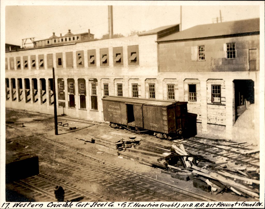
Editor’s note: This is a continuation of a deep dive into Minneapolis’ Twenty-Ninth Street Railroad Depression. The Chicago, Milwaukee and St. Paul Railroad (CM&StP), also known as the Milwaukee Road, built a mainline known as the Benton Cut-Off as part of the Hastings and Dakota division (H. & D.) through South Minneapolis from 1879 to 1881. Part one of the story covers the legal battle and construction of the lowering of the line to be below grade in the 1910s.
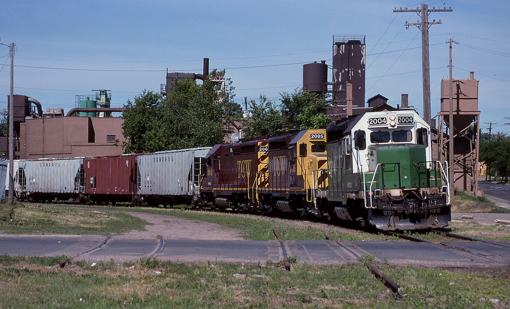
In the mid 1950s, the Milwaukee Road moved its yard and terminal from South Minneapolis to the new Pigs Eye/St. Paul yard. This movement allowed for the first direct track connection from the Short Line to St. Paul to the Benton Cut-Off and the 29th Street Depression in 1957, when the railroad tore down the massive roundhouse, car and machine shops.


The Milwaukee Road ended passenger service when Amtrak was formed in 1971.
The Minnesota Department of Transportation (MnDOT) reconstructed and expanded Hiawatha Avenue in the late 1990s, amidst protest, which fully saw the removal of what remained of the old yard. The connection to the Short Line was cut in 1998 and the former tracks to downtown were replaced with the Metro Blue Line, which opened in 2004.
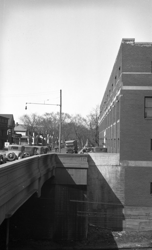
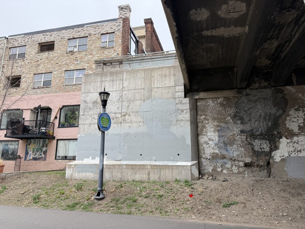
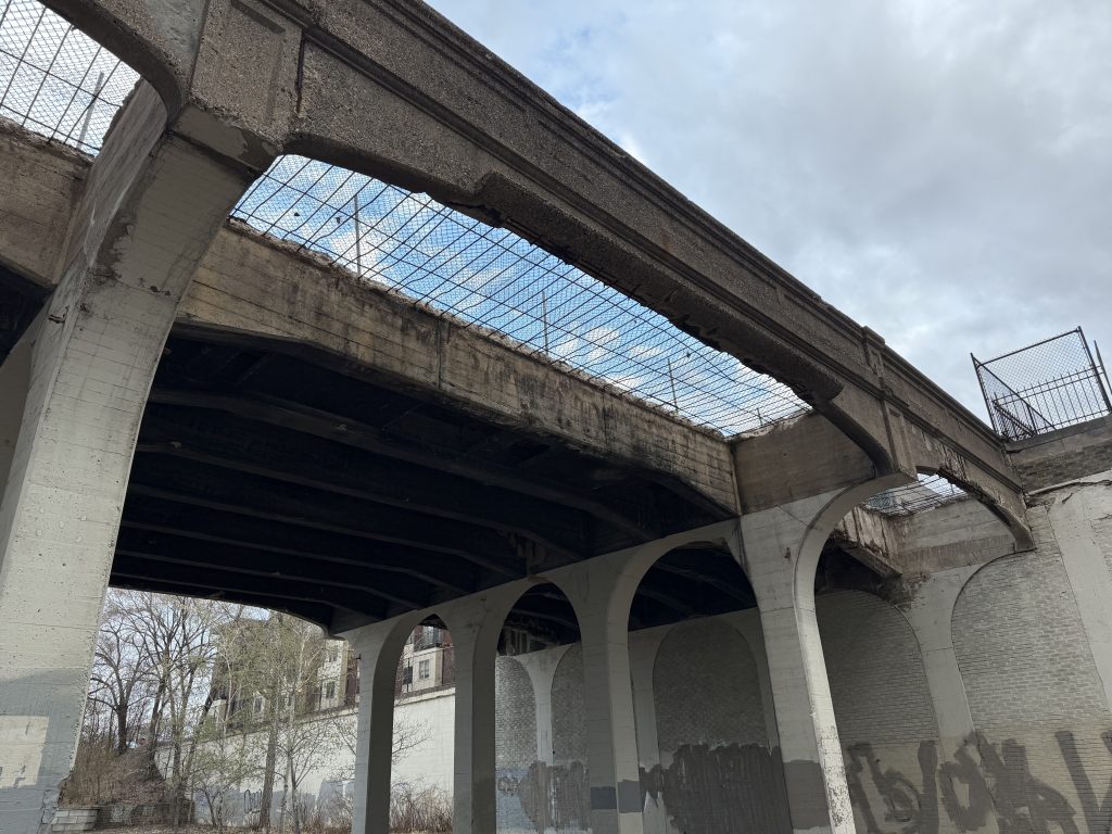
The construction of Interstate 35W in the 1960s resulted in the removal of the Second Avenue bridge. The bridges just to the east at Third, Clinton and Fourth avenues were removed sometime in the 1990s. The north abutment of the Third Avenue and the south abutment of the Clinton Avenue bridges are still present. The Fourth Avenue bridge – the longest of the original set of concrete bridges at 10 spans – was replaced in 1997.
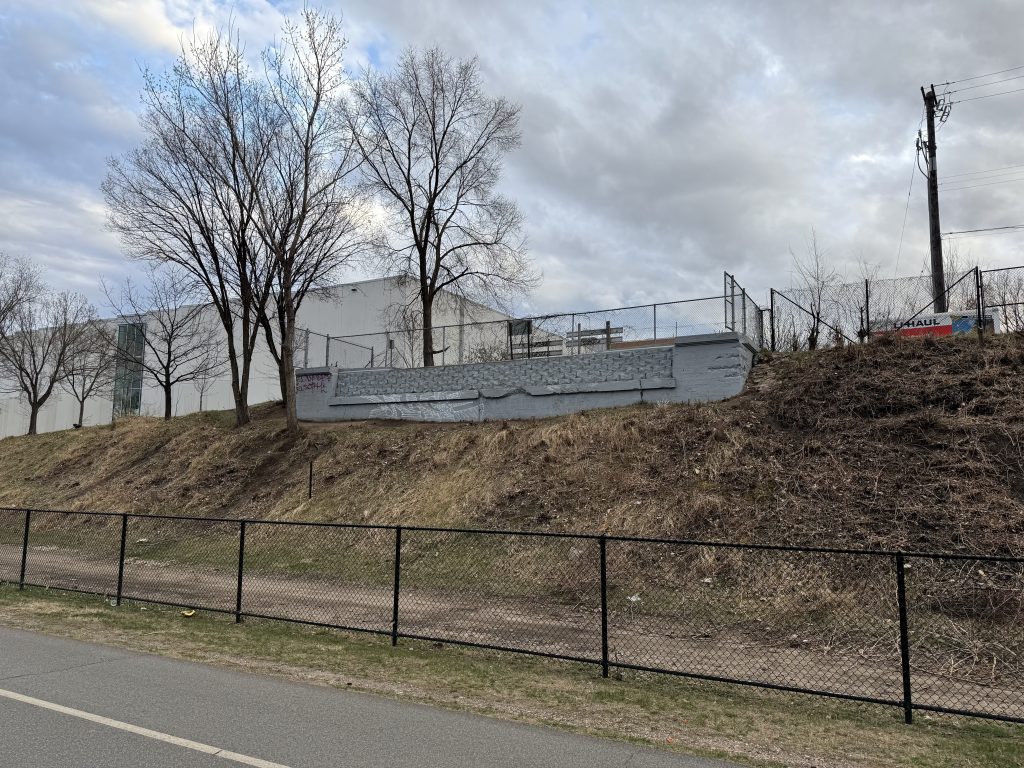
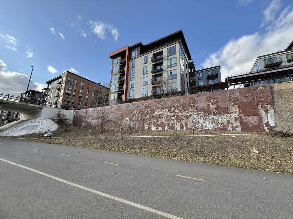
Especially from the 1960s through the 1990s, this entire area changed immensely. Below is an image of the same 3rd Avenue bridge abutment that still stands today. Note the small section of brick to the right of the wing wall in today’s photo (above) from the building shown in the image from 1932.
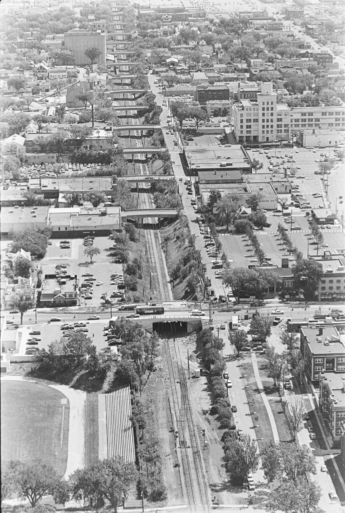
The Hennepin Avenue bridge was rebuilt in 1980, and with its construction came some great aerial photography. This is the latest photo I’ve found with all the original 1910’s bridges in place for the western end of the corridor.
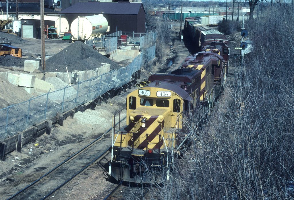
The Milwaukee Road declared bankruptcy in 1985 and this segment of track was purchased by the Soo Line Railroad as part of Canadian Pacific’s Bass Lake Subdivision. In 1991 the Twin Cities and Western Railroad (TC&W) formed and operated on the line. Ultimately, in August 1998, as a result of the construction of the Hiawatha Line (Metro Blue Line), trains to St. Paul were re-routed to the Kenilworth Corridor and stopped through service in the 29th Street Depression.
Railroad service was abandoned in 2001, with the last train running in June. The tracks were removed in 2002.
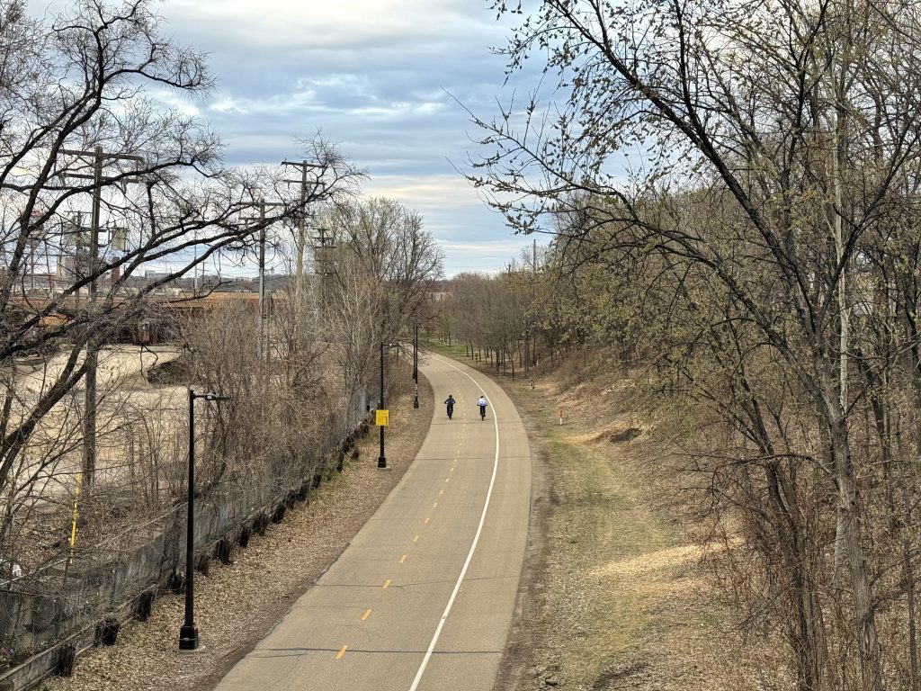
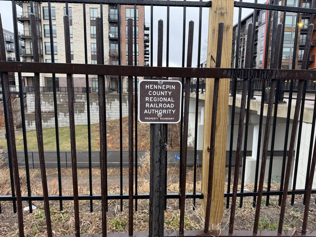
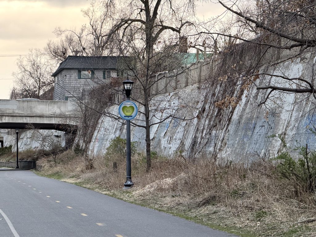
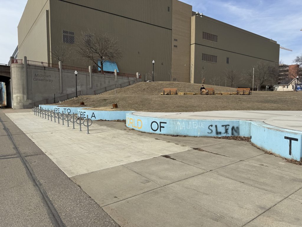
The Hennepin County Regional Rail Authority purchased the right of way in 1993 for the purpose of future transit. The corridor, original bridges, retaining walls and fences were added to the National Register of Historic Places in 2005 as the Chicago, Milwaukee and St. Paul Railroad Grade Separation Historic District. Hennepin County, the City of Minneapolis, the Midtown Greenway Coalition and other community partners worked to transform the corridor into the Midtown Greenway trail. The Greenway was built in three phases between 2000 and 2006 and is maintained by the City of Minneapolis. The Martin Olav Sabo Bridge over Hiawatha Avenue opened in 2007. In December 2024, the Minneapolis Park and Recreation Board and the Met Council adopted a master plan to include the trail as a part of the regional trail system.
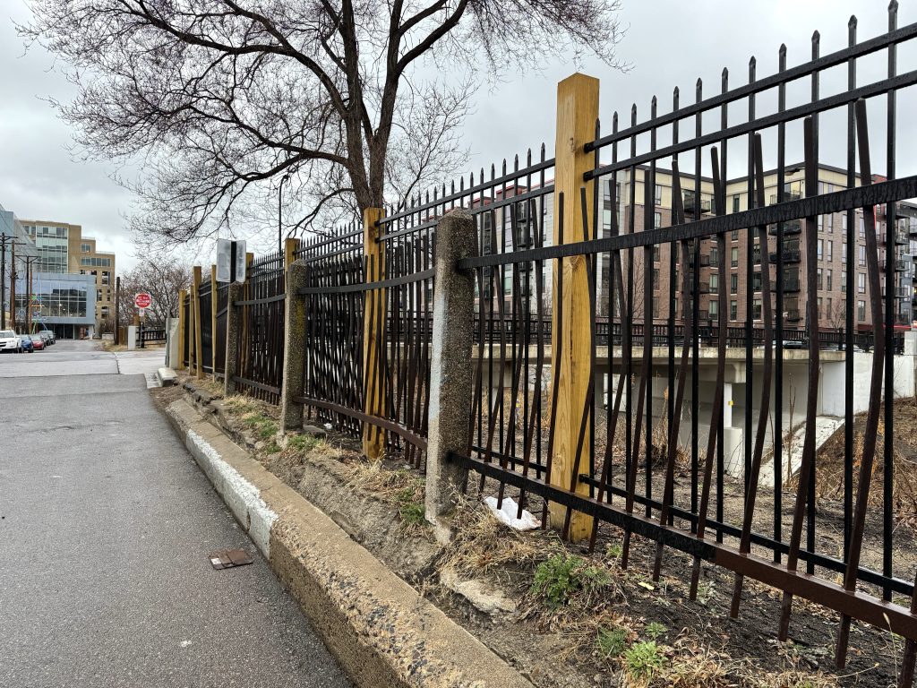
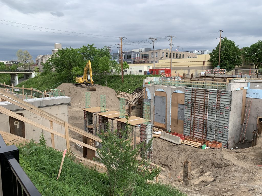
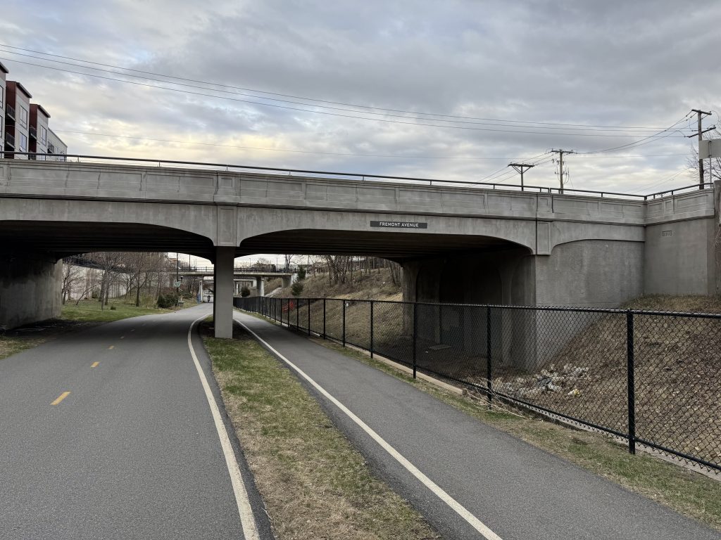
At present day, 22 bridges remain from the original 37 constructed in the 1910s. New bridge replacements since the corridor was added to the Register of Historic Places are constructed in a way that closely matches the appearance of the original bridges –although structurally they are a little different. The bridges at Fremont Avenue (2020), First Avenue (2024), Portland Avenue (2017) and Cedar Avenue (2017) have been replaced with this matching style of the older bridges. The bridges at Emerson Avenue (1986), Dupont Avenue (1987), Lyndale Avenue (1987), Fourth Avenue (1997), Park Avenue (2006) and Chicago Avenue (2005) were all replaced with non-original designs.
Five bridges are currently planned to have improvements made in the coming years. These are the Grand Avenue, Pillsbury Avenue, Nicollet Avenue, 10th Avenue and 18th Avenue bridges.
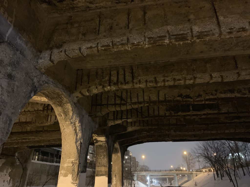
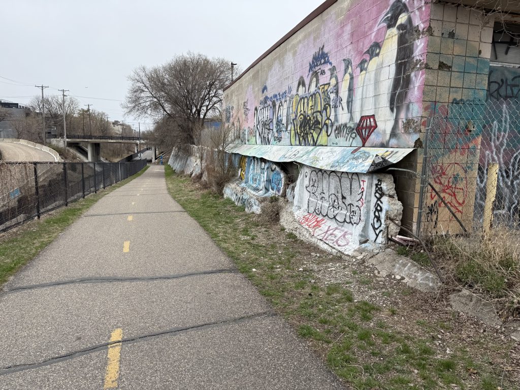
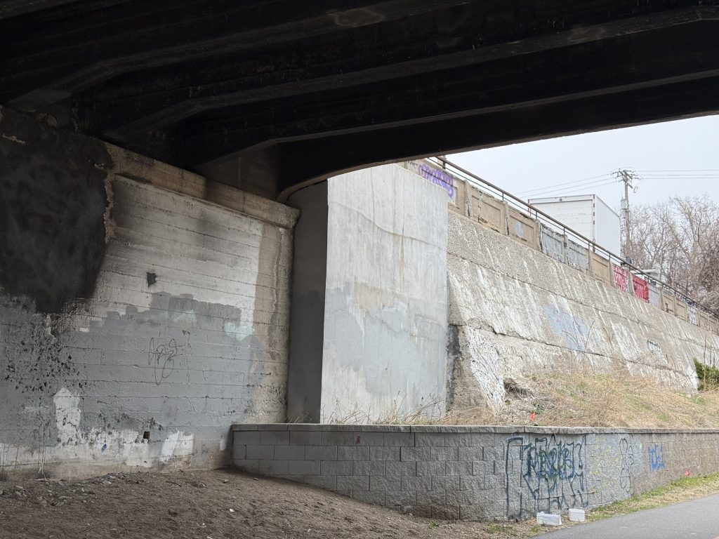
Many features of the corridor and historic district are deteriorating. Rebar is exposed in places on most of the remaining original bridges. The retaining walls and some of the bridge abutments have cracks and are showing signs of settling and deterioration.
Evidence of a Railroad Past
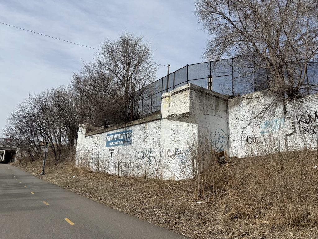
Little pieces of evidence of past railway sidings are visible along the corridor. One such example is the bridge under West 29th Street between Colfax and Dupont avenues going to the present day Buzza Lofts building. This bridge caught fire and was removed in 2023, replaced with a continuation of the retaining wall.
Another example is the pedestrian bridge over the Inspire Central apartment building between Emerson and Dupont avenues. Aerial photography shows that a siding ran north into the lot as recently as 1945 and had been removed by 1969. This land was historically used as a coal yard and later as a lumber yard.
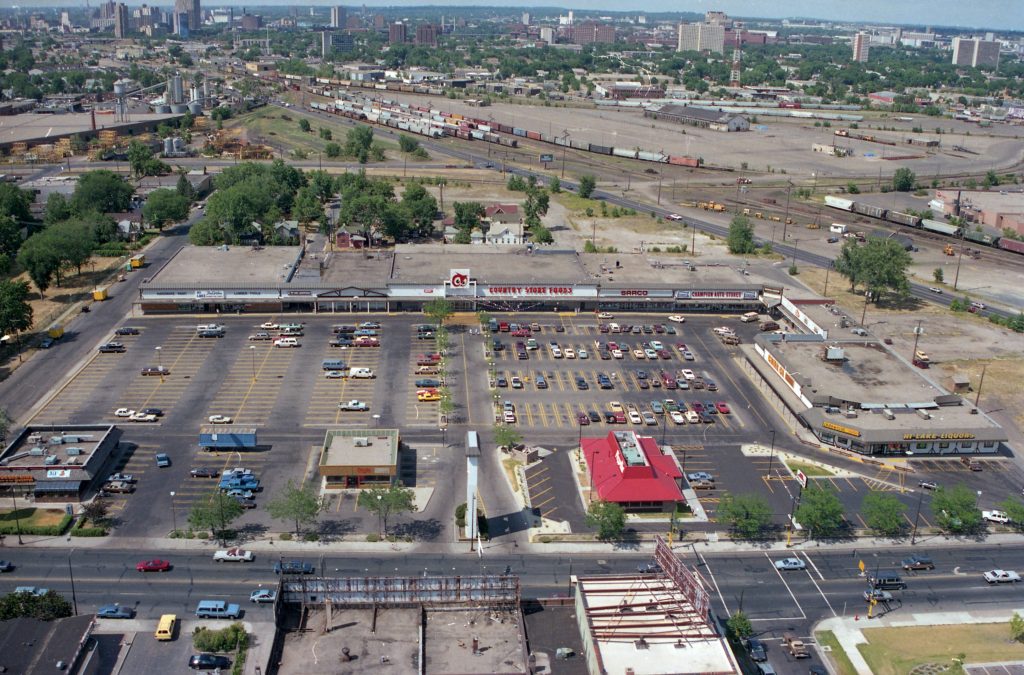
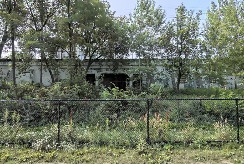
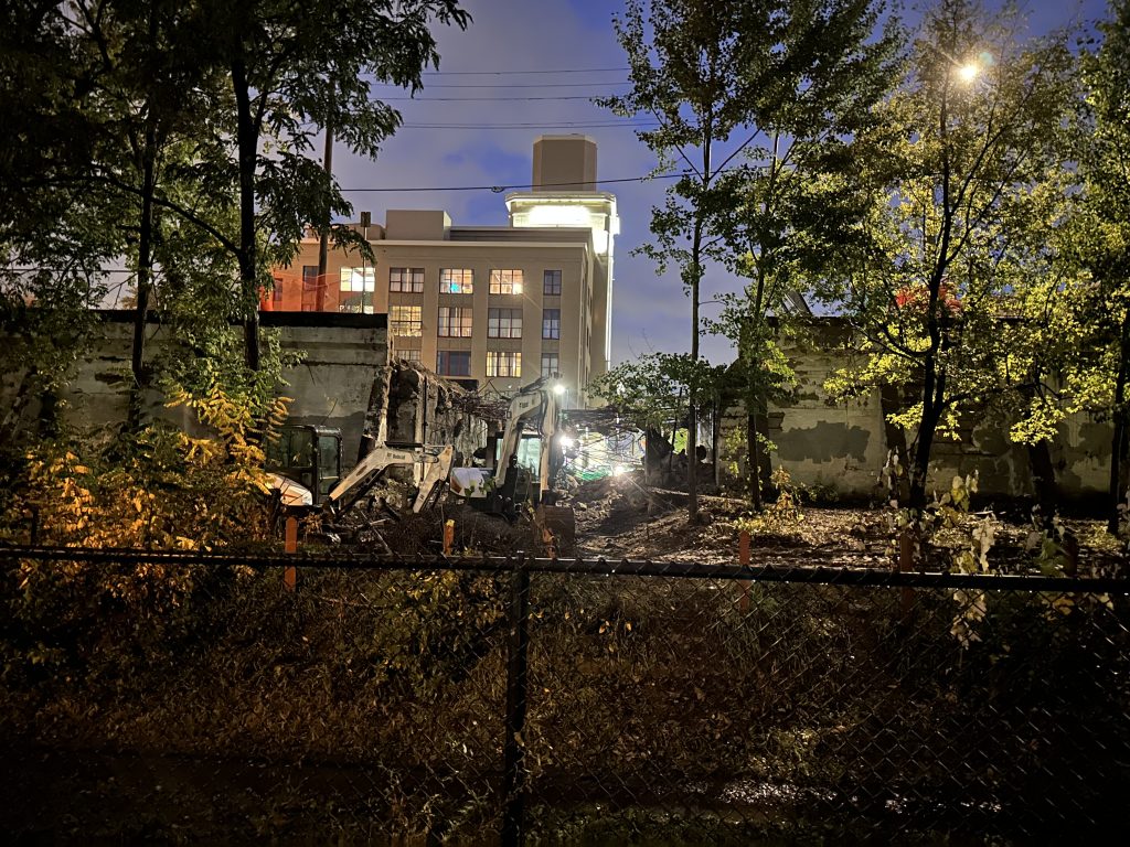
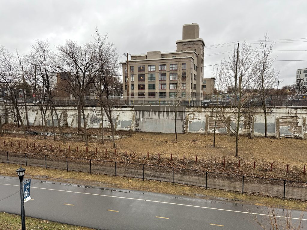
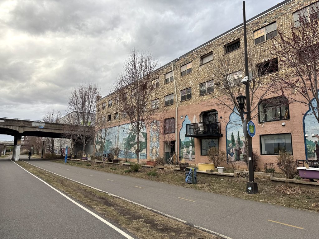
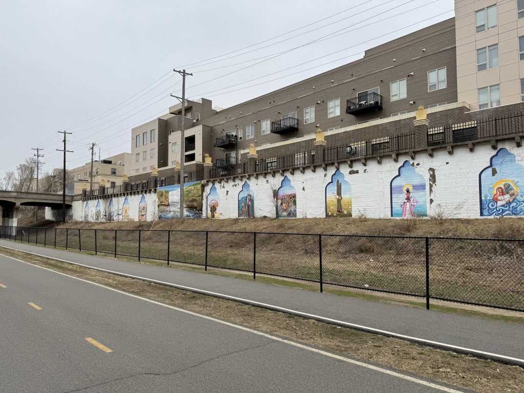
The Sheffield Elevator Company’s grain elevator stood between Garfield and Harriet avenues, was demolished in 1987. It was replaced by the Soo Line Garden in 1991, which is terraced and slopes up the northern side of the trench. Amidst planning for building a new ADA compliant trail, in March 2024, the Minneapolis Park and Recreation Board closed the garden due to soil contamination until it can be remedied.
Existing and Repurposed Structures
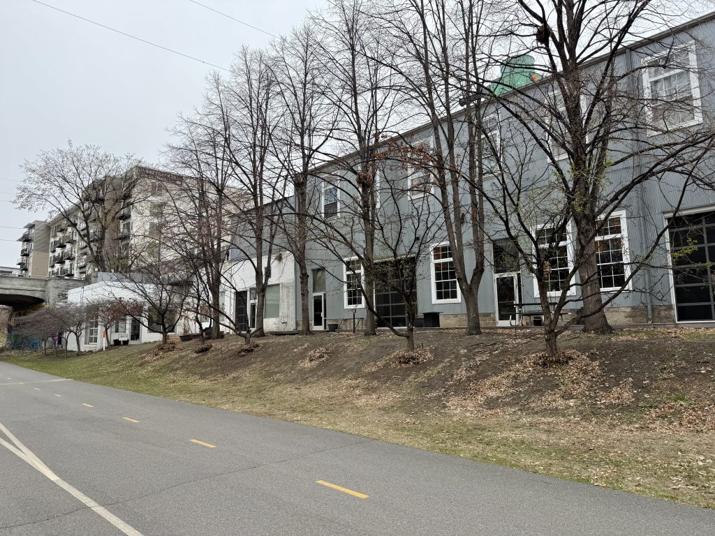
Several old industrial buildings still stand or partially stand and have been converted into retaining walls or reused for other purposes.
Midtown
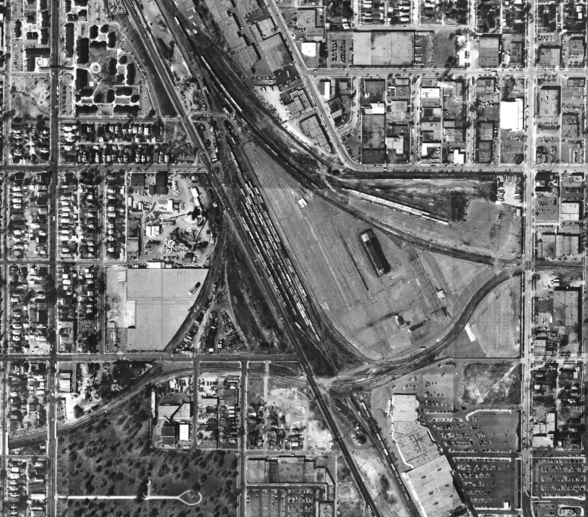
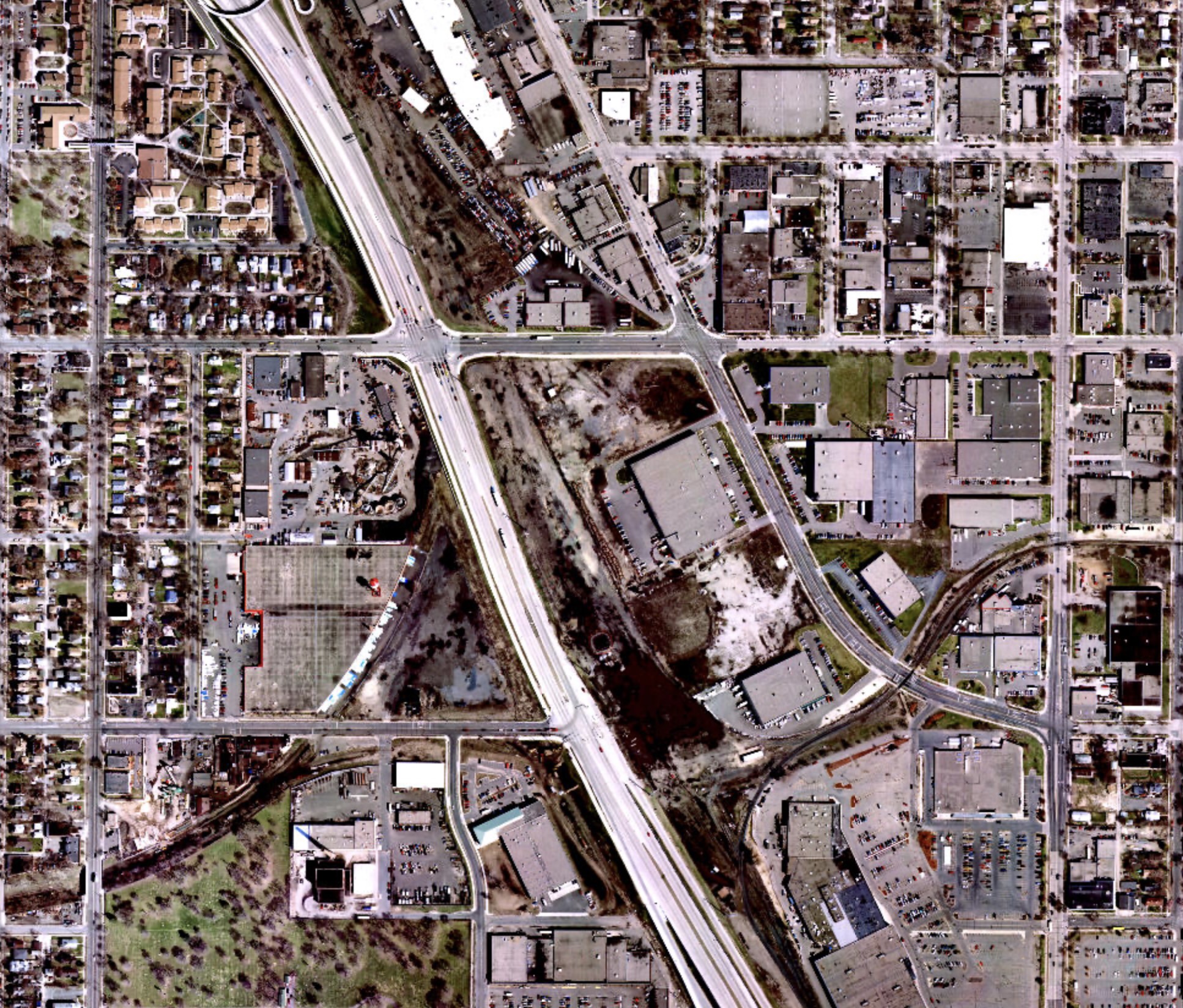
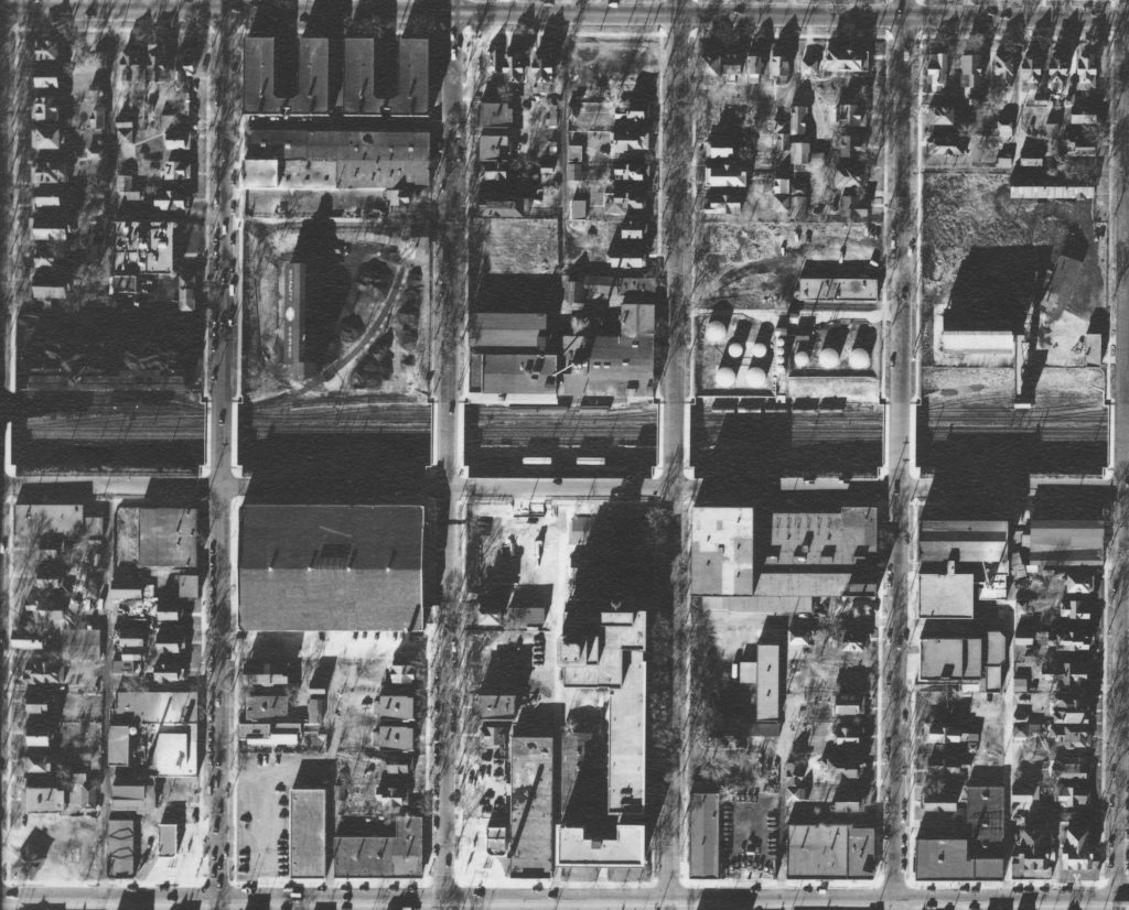
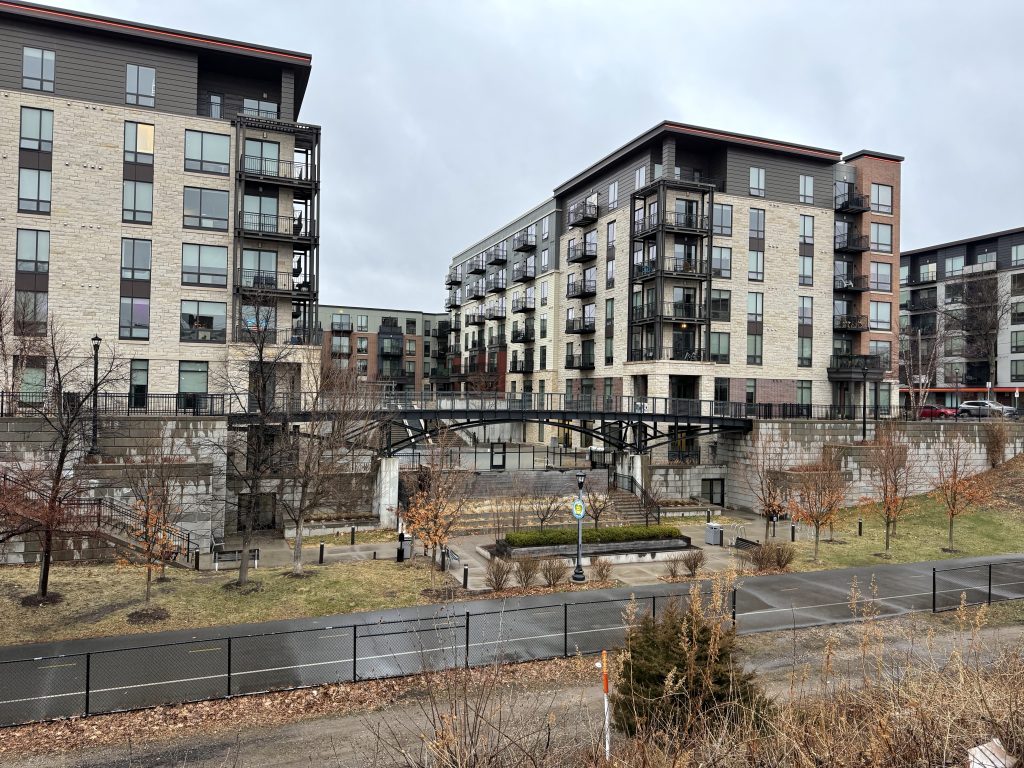
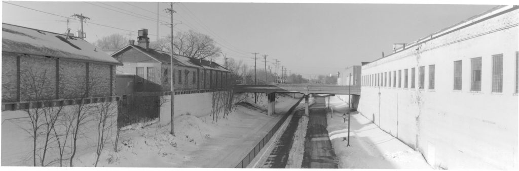
Between Third and Fifth avenues, a small rail yard required the corridor be at least eight tracks wide. Today, this space is occupied by a sports field, two gardens, a parking lot and the Fourth Avenue bridge abutment. The removed Clinton Avenue bridge had six spans and the Fourth Avenue bridge had 10 spans to cross the former yard.
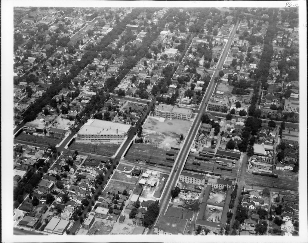
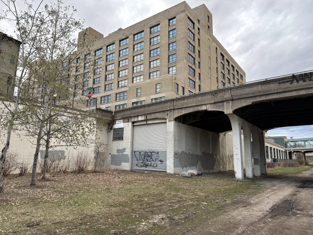
The corridor between Chicago and 11th avenues has changed significantly over time. The Midtown Exchange building (as it’s known today) was built in 1928, and was occupied by the Sears, Roebuck, and Company until 1994 as a retail and mail-order catalog facility. Part of the construction included a train shed in the trench, incorporating the 10th Avenue bridge, which was extended to include the Elliot Avenue bridge in 1929. In 1964, an expansion added a warehouse to the north and on top of the rail corridor (razed in 2005), between Elliot and 10th avenues. A storage facility to the north was the last major addition to the complex in 1978. Between 10th and 11th avenues was a grain elevator (razed in 2004), now the Cepro Site green space and entrance to the Midtown Greenway. The footings of the silos are still present and provide a place to sit and congregate. The Elliot Avenue bridge is stub-ended at the present-day Allina parking ramp, has been closed to vehicle traffic for years, and is privately owned.
The 10th Avenue bridge was closed to vehicle traffic on December 26, 2021. During an inspection in 2021, a large hole 12 feet by 3 feet was found in the west sidewalk. In 2022 the entire western section of the deck was removed and fenced off. The bridge has four spans, the southern span being enclosed in a bridge wall as part of the Midtown Exchange building.
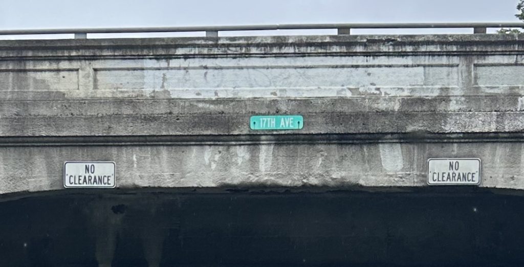
Some bridges still have signage from railroad times; an example are the pair of “No Clearance” signs on the 17th Avenue bridge.
The Coolest Video You Will Ever See
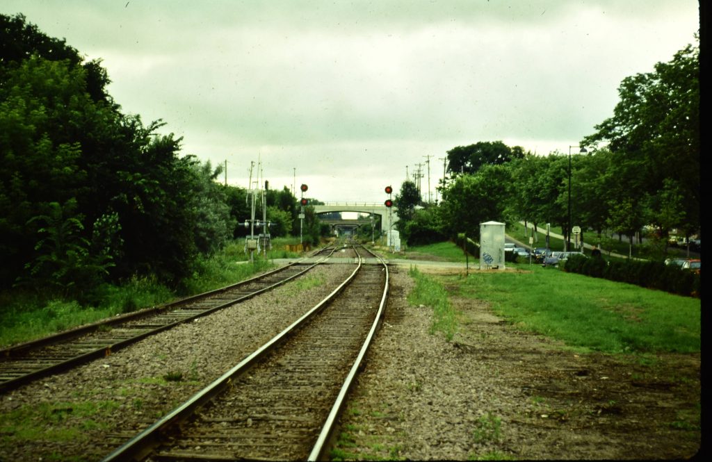
Incredibly, last summer, Greg Smith uploaded the following video to YouTube showing a rail fan trip along the entire corridor. Given that this is TC&W, the bridges present, and lack of grain elevator between Garfield and Harriet avenues, it was recorded between 1991 and 1997. What’s left of the South Minneapolis yard is shown on the eastern end in the beginning. Thus, the video originates from before the bridges on Clinton and Fourth avenues were removed. In the western end, lots of industry along the north side of the tracks is visible. It’s jarringly different from the view today when biking on the Midtown Greenway.
Today
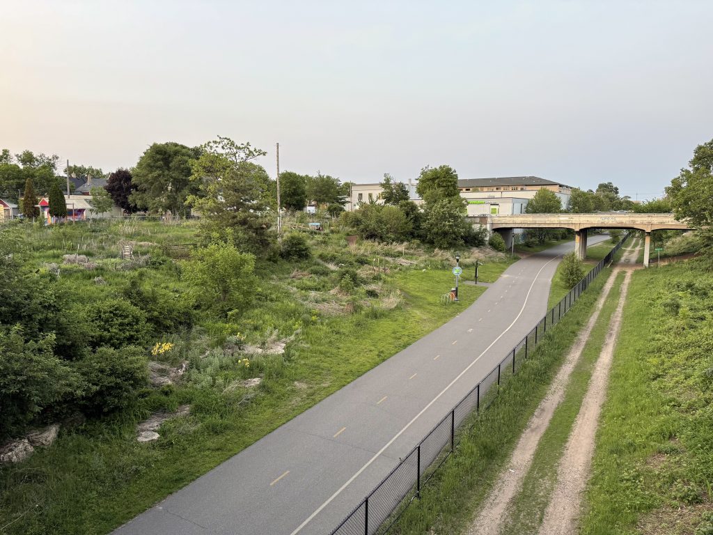
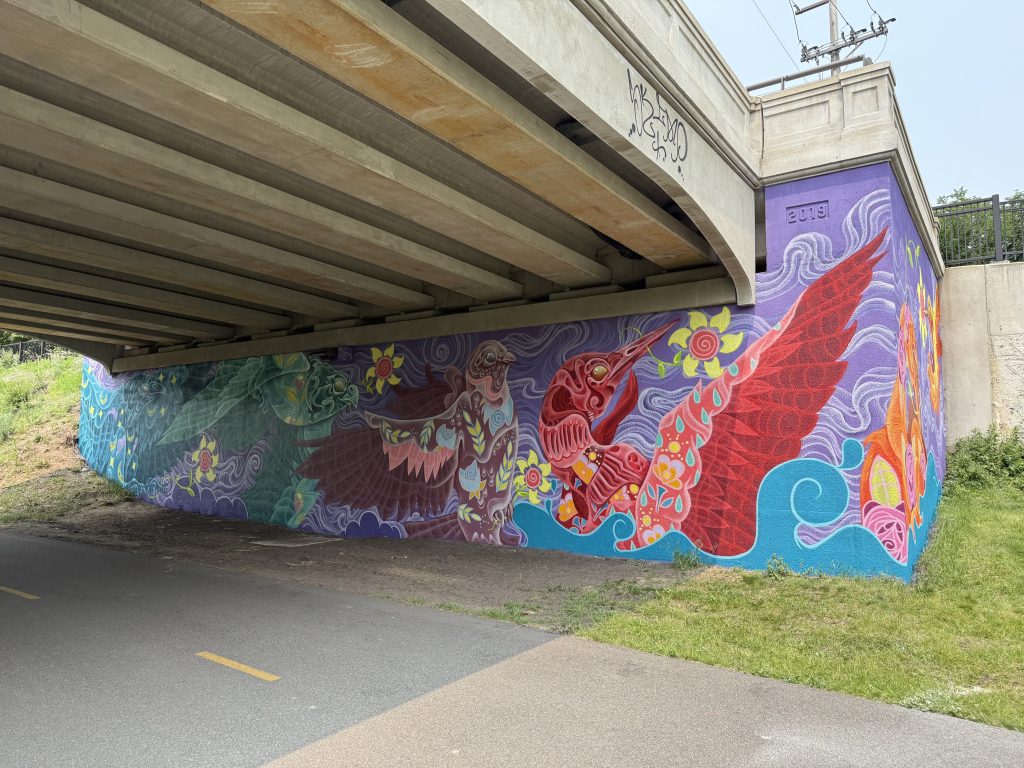
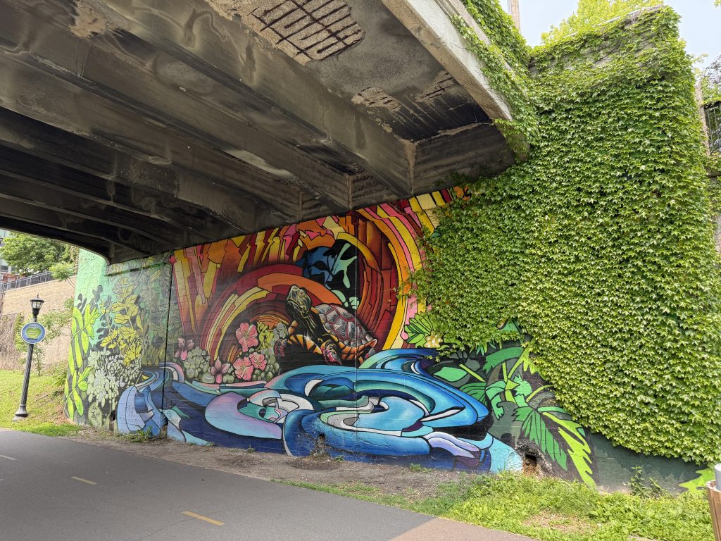
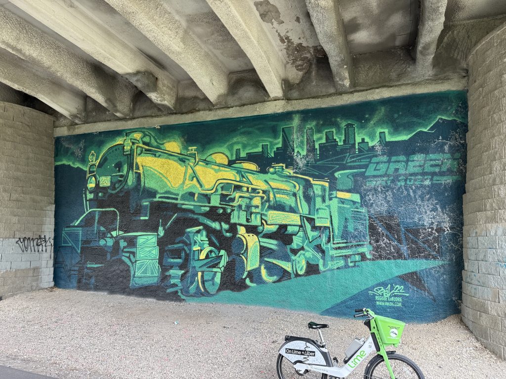
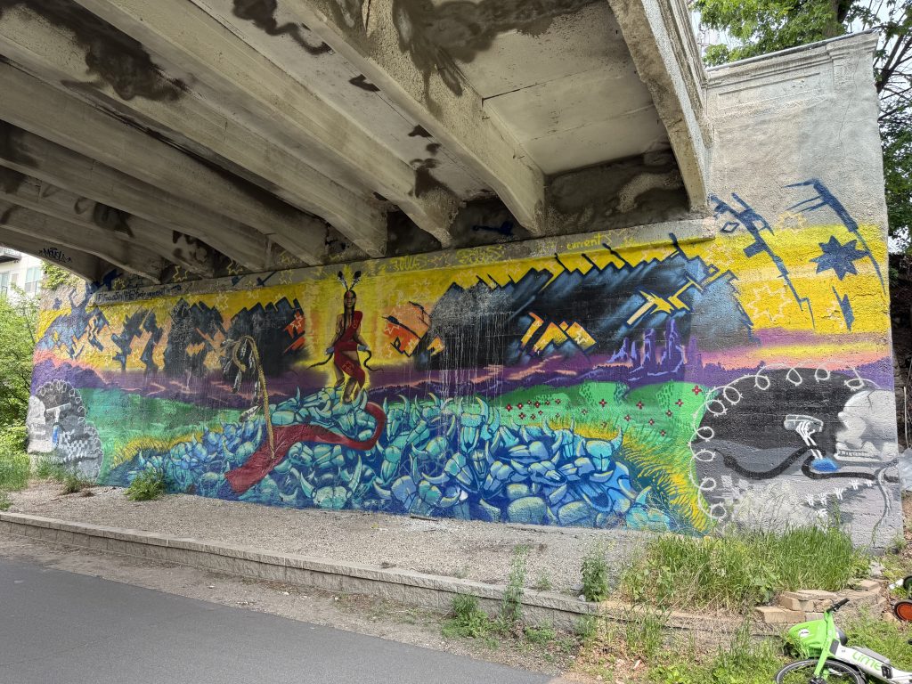
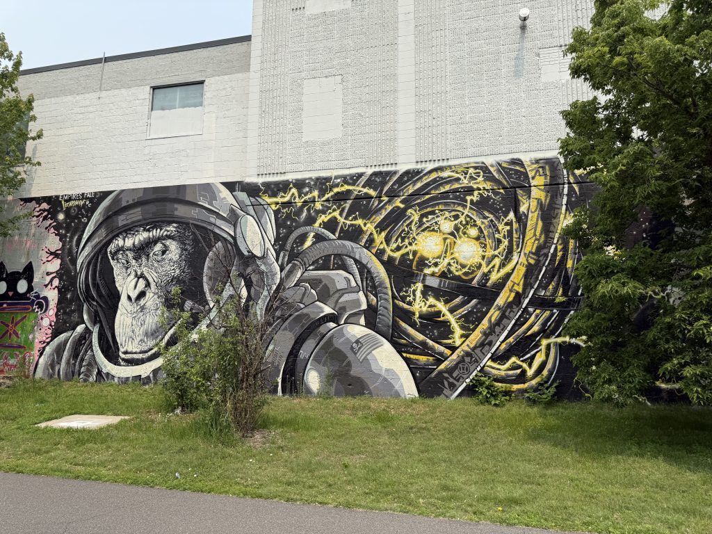
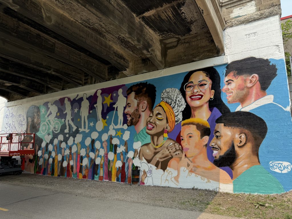
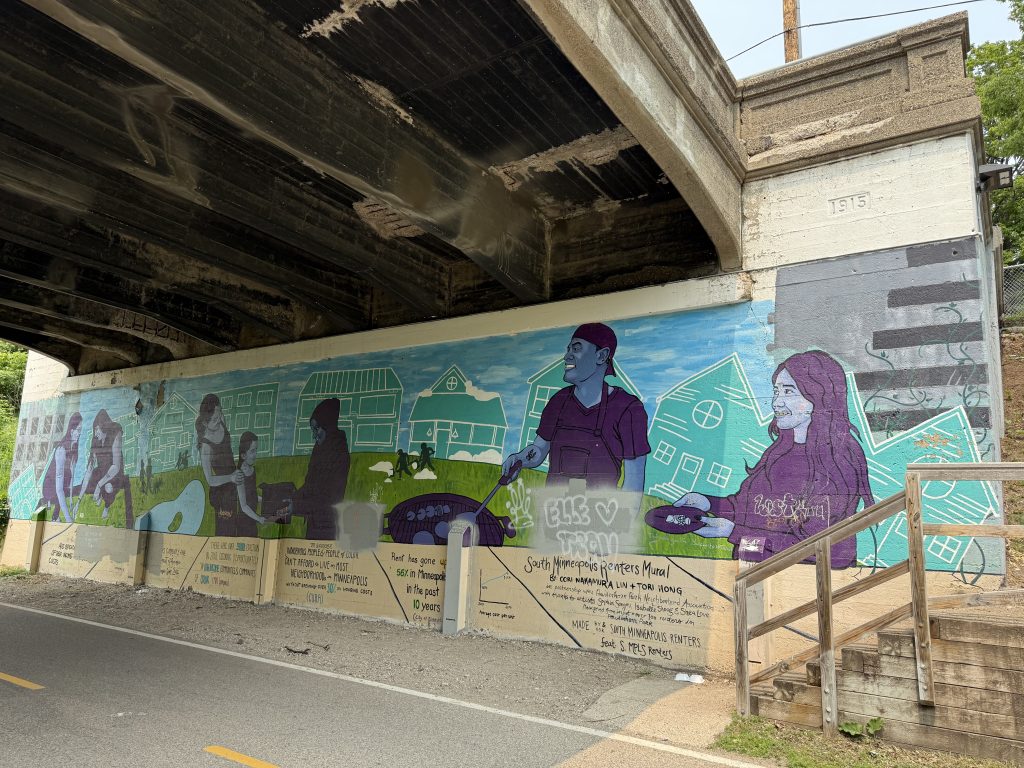
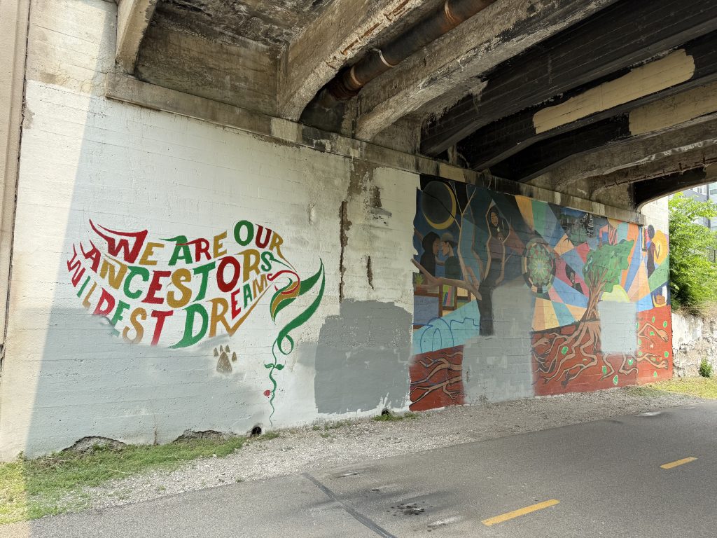
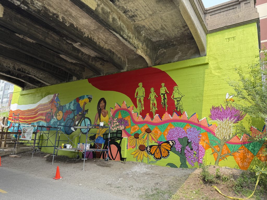
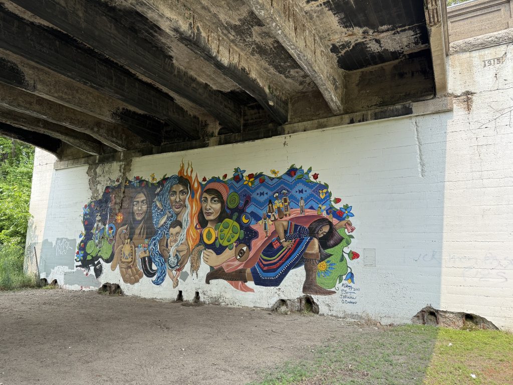
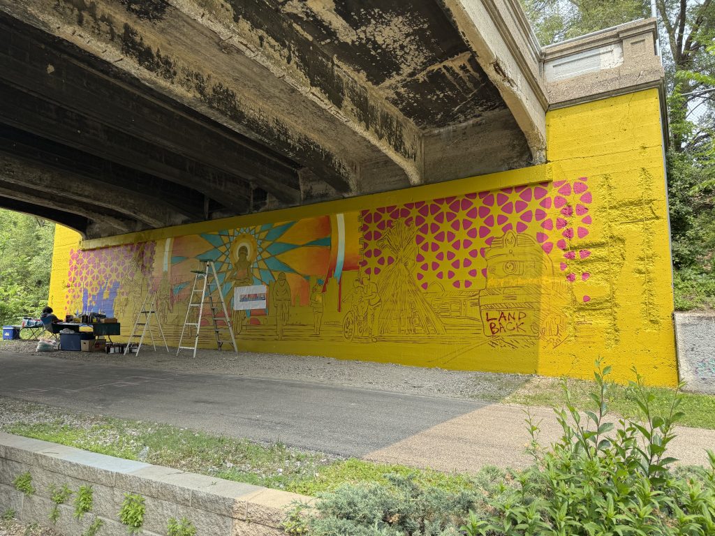
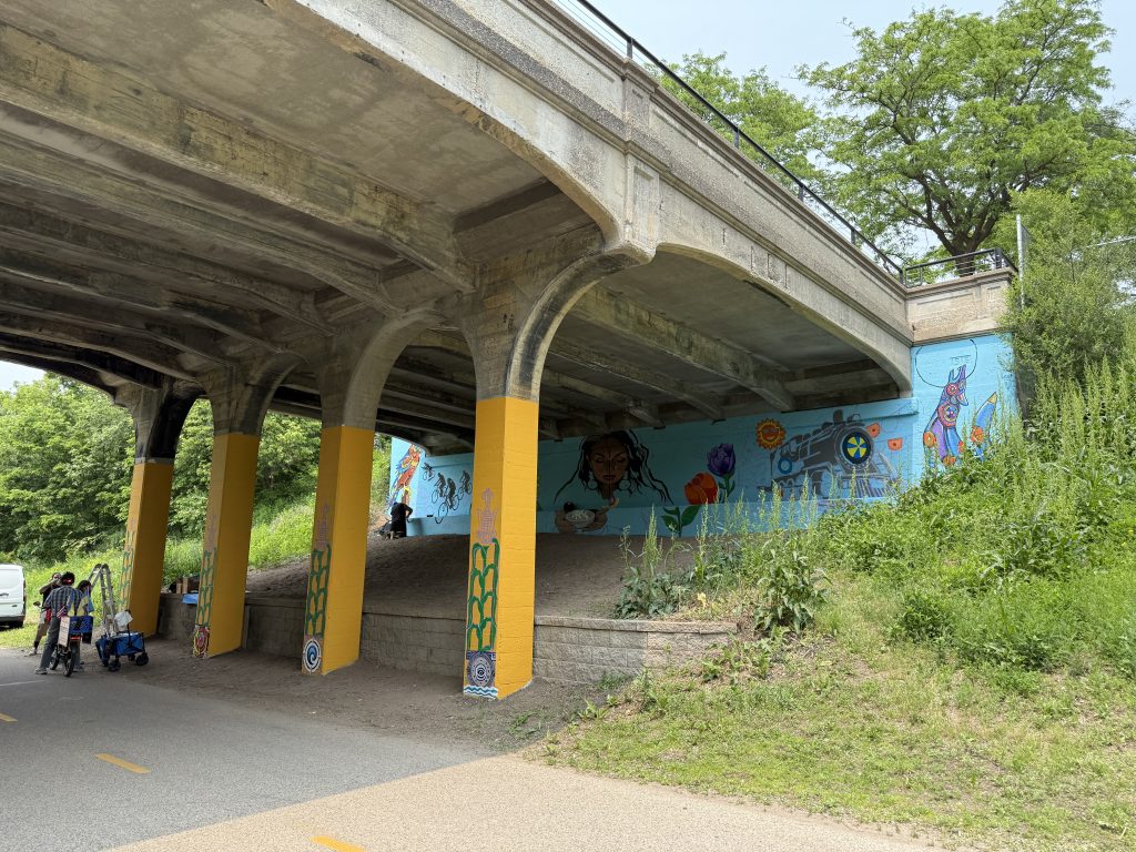
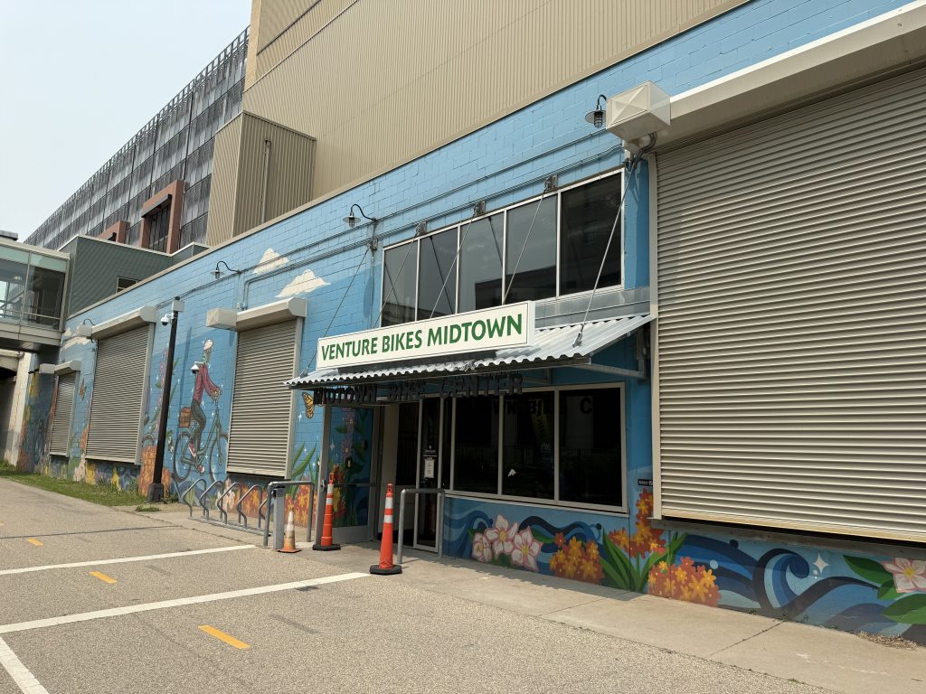
Today, the corridor hosts the Midtown Greenway Regional Trail, decorated with the history of a railroad corridor, and built from the work to improve resident safety and transportation throughout the last century. As the city grew around the corridor and industries left for cheaper and better accessible land, the corridor has been able to still serve the community. This past week, as part of the Midtown Greenway Cultural Communities Mural Project, work finished on five additional murals on the bridges in the corridor. These new murals join existing ones that add new color and life by highlighting the historic corridor and rich experiences of the people that live along and use the Midtown Greenway.
Resources
Some of these sources are also linked in Part One of this series, and some are specific to this Part Two.
I’ve created a gallery on Flickr containing all of the photos I could find of the corridor with the tracks in place or before the Midtown Greenway was completed. It includes some additional fun photos for which I didn’t seek permission to repost here.
- “More Milwaukee Road in Minnesota” by John C. Luecke, 2010
- National Register of Historic Places Nomination (2005) (PDF) https://edocs-public.dot.state.mn.us/edocs_public/DMResultSet/download?docId=24720708
- Cultural Landscape Management and Treatment Guidelines For the Chicago Milwaukee and St Paul Grade Separation (2008) (PDF) https://www.hennepin.us/~/media/hennepinus/residents/transportation/midtown-community-works/cultural-landscape-guidelines-2008.pdf
- Midtown Corridor Bridge Management Plan (2015) (PDF) https://edocs-public.dot.state.mn.us/edocs_public/DMResultSet/download?docId=24720705
- Chicago, Milwaukee and St. Paul Railroad Grade Separation Historic District Reevaluation (2017) (PDF) https://www.lrl.mn.gov/docs/2017/other/c170018.pdf
- Hennepin County Digital Collections https://digitalcollections.hclib.org/digital/custom/home
- Minnesota Historical Society Collections Online https://www.mnhs.org/search/collections
- MnDOT Bridge Info Interactive Map and recent inspection reports https://mndot.maps.arcgis.com/apps/webappviewer/index.html?id=458be6fe9acf4131a35455cc63702068
- Minnesota Historical Aerial Photographs Online from the John R. Borchert Map Library, University of Minnesota https://apps.lib.umn.edu/mhapo/
- Hennepin County Aerial Imagery Viewer https://hennepin.maps.arcgis.com/apps/webappviewer/index.html?id=af6985232e094f95a5aa4075254b6cad
- Minnesota Railroads Facebook Group https://www.facebook.com/groups/1360051961027253/