On Tuesday, October 14, demolition of the Nicollet Avenue bridge over the Midtown Greenway started for the eventual replacement as part of the New Nicollet Redevelopment project. This made for an opportunity to document the bridge as it fades into memory, and discover more about it.
Bridge Construction and Characteristics
The bridge, formerly MnDOT bridge ID 90590, was constructed in 1914 as part of the Twenty-Ninth Street Railroad Depression project by The Chicago, Milwaukee and St. Paul Railroad, also known as the Milwaukee Road. The bridge served streetcars (until 1954), pedestrians, motor vehicles and other road users until its closure for the construction of the Lake Street K-Mart on July 1, 1977.
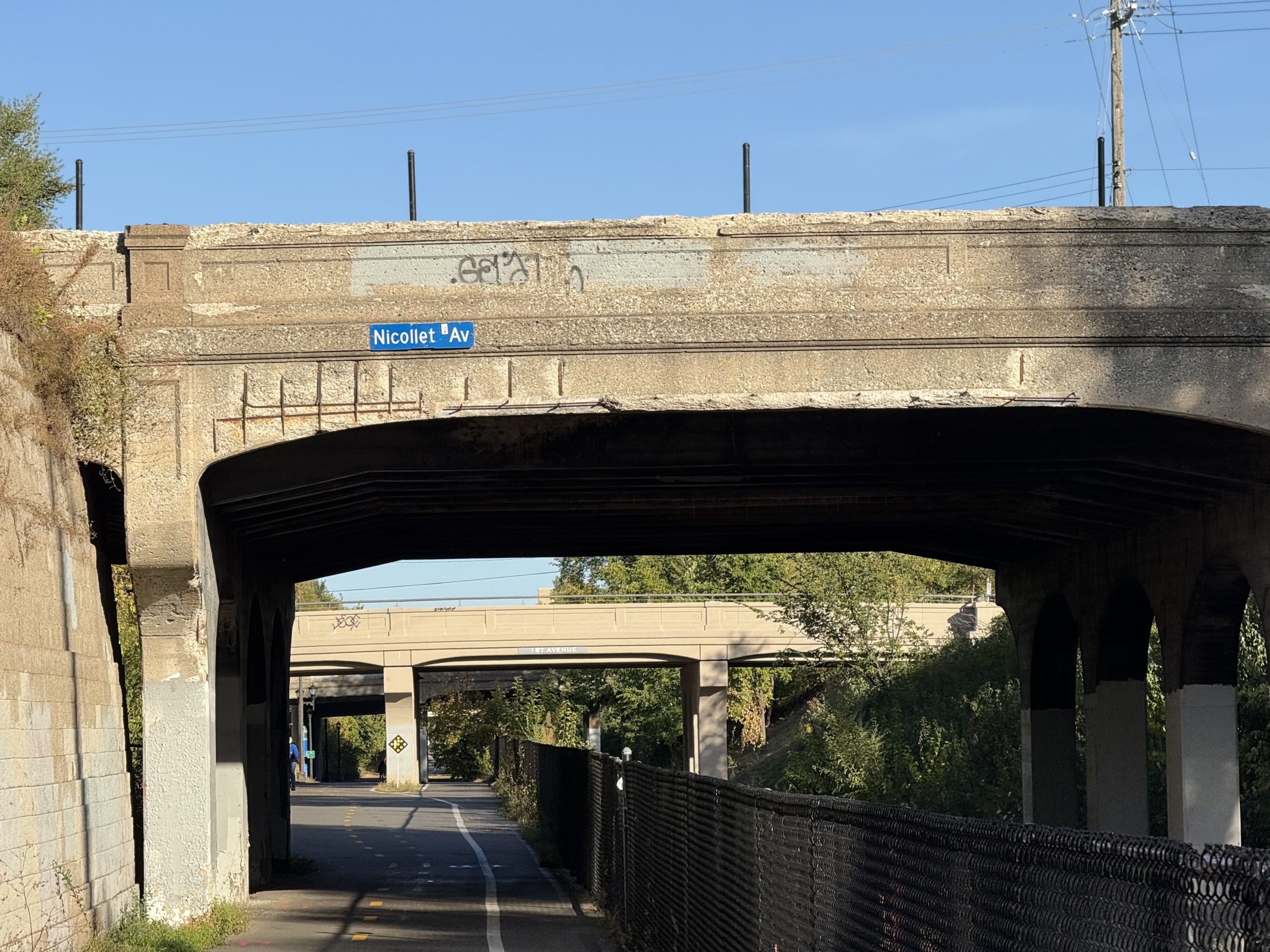
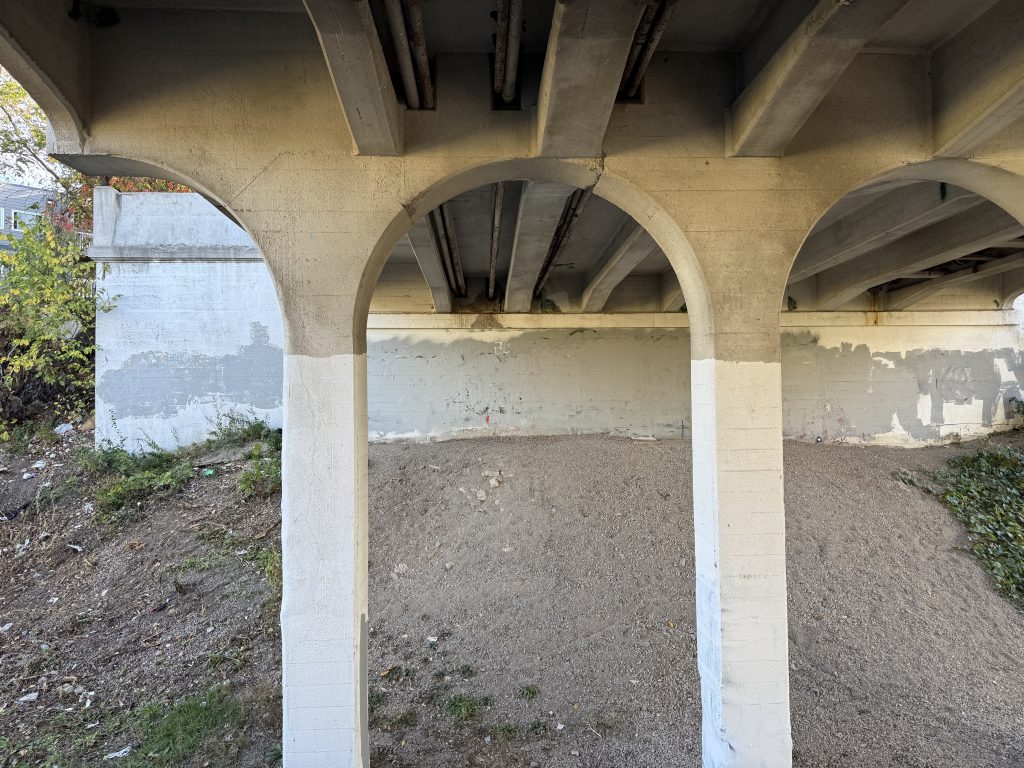
Like the typical bridge on the corridor, the bridge was made of reinforced concrete for a slab and girder design and featured three spans supported by two concrete abutments and two sets of four piers. The bridge was built with a full-height retaining wall on the south side, and a half-height retaining wall on the north. This allowed for two tracks each under the south and center spans, and one track under the north span. The west side of the bridge had the standard decorative parapet while the east side had an atypical flat face, without a parapet at all, only featuring a metal railing. It’s unclear why this was the case and when the modification was made (but it was before the closure of Nicollet Avenue in 1977).
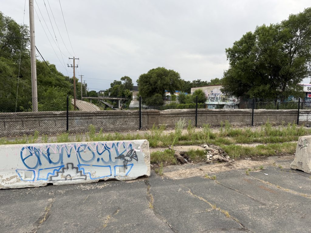
Along the railroad corridor, most of the typical three-span bridges were 49 or 51 feet wide, with the exception of five, which were wider to accommodate streetcar lines. These bridges include Cedar Avenue (60 feet), Bloomington Avenue (63 feet), Chicago Avenue (71 feet), Park Avenue (70.4 feet, built without featuring a streetcar line) and Nicollet Avenue (83 feet). This made the Nicollet Avenue bridge the widest of the 37 installed over the railroad tracks in the 1910s (however, it is outlived by the 1916 Bloomington Avenue bridge, which still stands). The piers for the bridge were noticeably farther apart, and were wider to accommodate the extra weight and load capacity of the bridge.

Many bridges, including Nicollet Avenue were first used with a sand bed covered with wood block pavers as a road surface, and only later replaced with asphalt or concrete. Another unique feature about the Nicollet Avenue bridge is that it was first built with five-foot removable sidewalk extensions on each side, covering the road bed to allow for later roadway expansion.
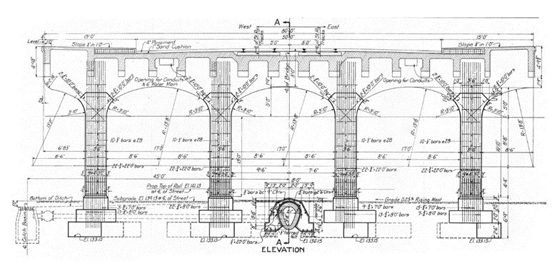
The article, Track Depression at Minneapolis, from Engineering News Volume 73, Number 11 (Mar. 18, 1915), described many of the engineering characteristics of the 29th Street track depression project in detail. It included the following paragraph about the Nicollet Avenue bridge and its unique sidewalk extensions.
A rather novel deck construction on the Nicollet Ave. bridge provides for a future widening of the present 50 ft. roadway to 60 ft. The concrete roadway deck is made 60 ft. wide, with 10-ft. sidewalks, but the latter are widened to 15 ft. by hollow tile blocks laid upon the roadway and covered with a thin layer of concrete. Whenever the city desires to widen the roadway, the 5 ft. of tiles can be removed readily, without affecting the structural design of the bridge.
Track Depression at Minneapolis, from Engineering News Volume 73, Number 11 (Mar. 18, 1915)
According to a recent bridge inspection report (and from estimating in photos) the bridge had 15 ft. sidewalks on each side of the bridge at the time of demolition. It’s unknown if the roadway was ever widened.
Changes
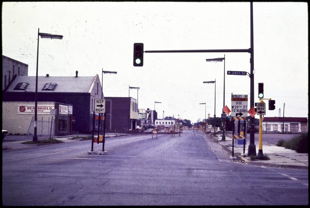
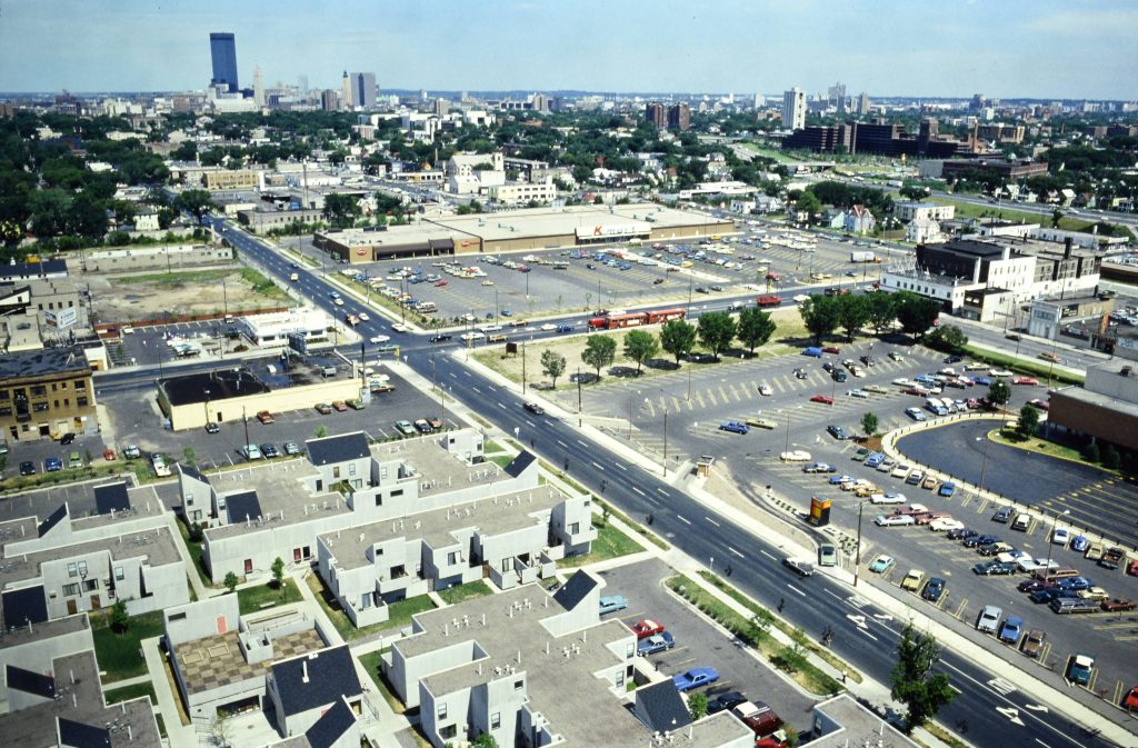
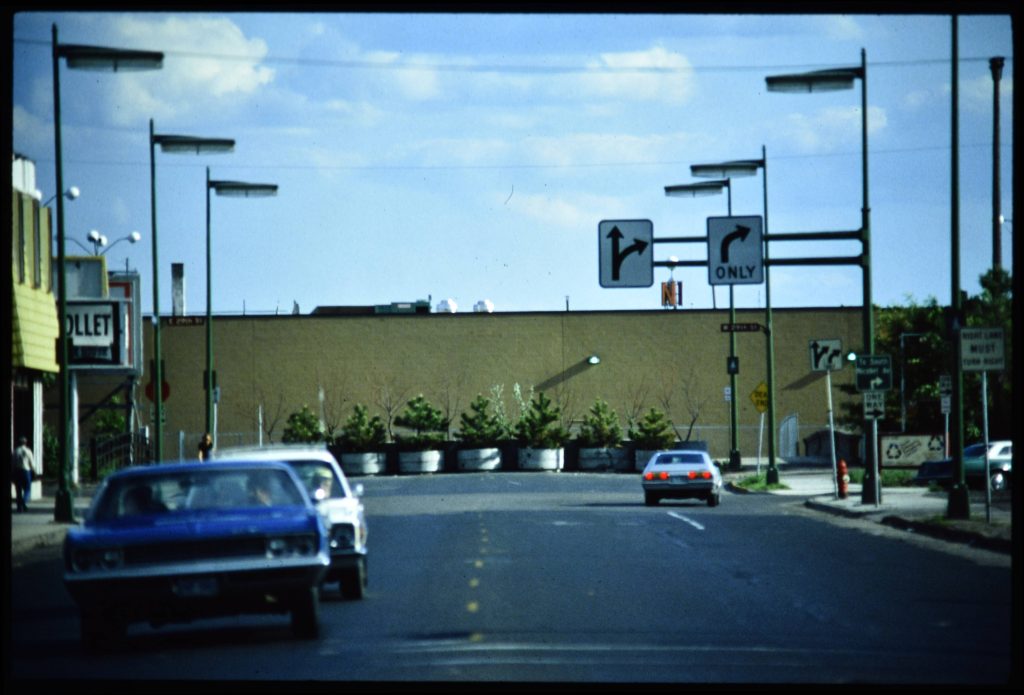
Streetcar service in Minneapolis ended in 1954, and the tracks were paved over with asphalt sometime after. The area around the bridge changed significantly in the 1960s and 1970s. The construction of I-35W largely displaced Black residents in this area in the 1960s. The Nicollet-Lake development was built in the mid-1970s which included raising several city blocks. Kmart was the anchor store of the development and gave the city an ultimatum to close Nicollet Avenue, or they would exit the deal.
Amidst the changes and during a time of change for the neighborhood, the Whittier Alliance (now the official neighborhood organization for Whitter) was founded in 1977. 20 years later in 1997, they launched the branding for Eat Street, 17 blocks of Nicollet Avenue from Grant Street to 29th Street. The closure of Nicollet Avenue kept traffic north of 29th Street at lower volumes, helping to preserve the streetscape for businesses and restaurants. One can only wonder how this section of Nicollet Avenue will change once reconnected to the south.
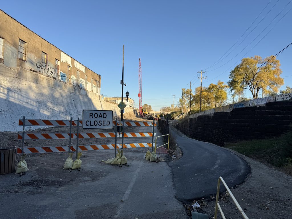
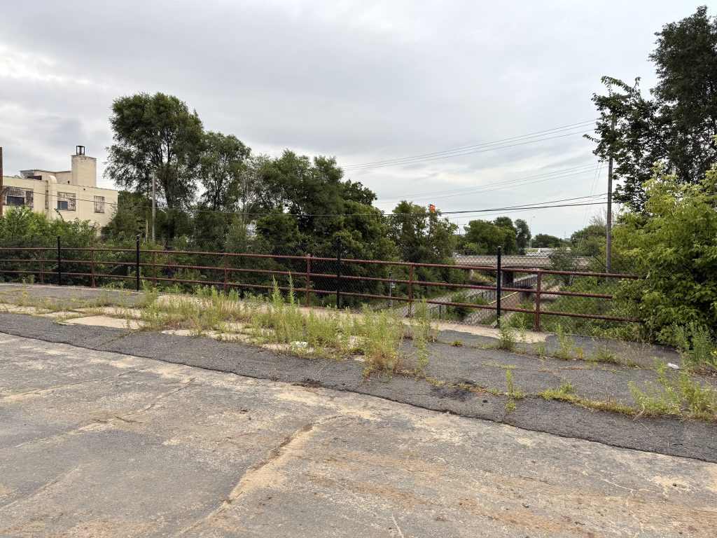
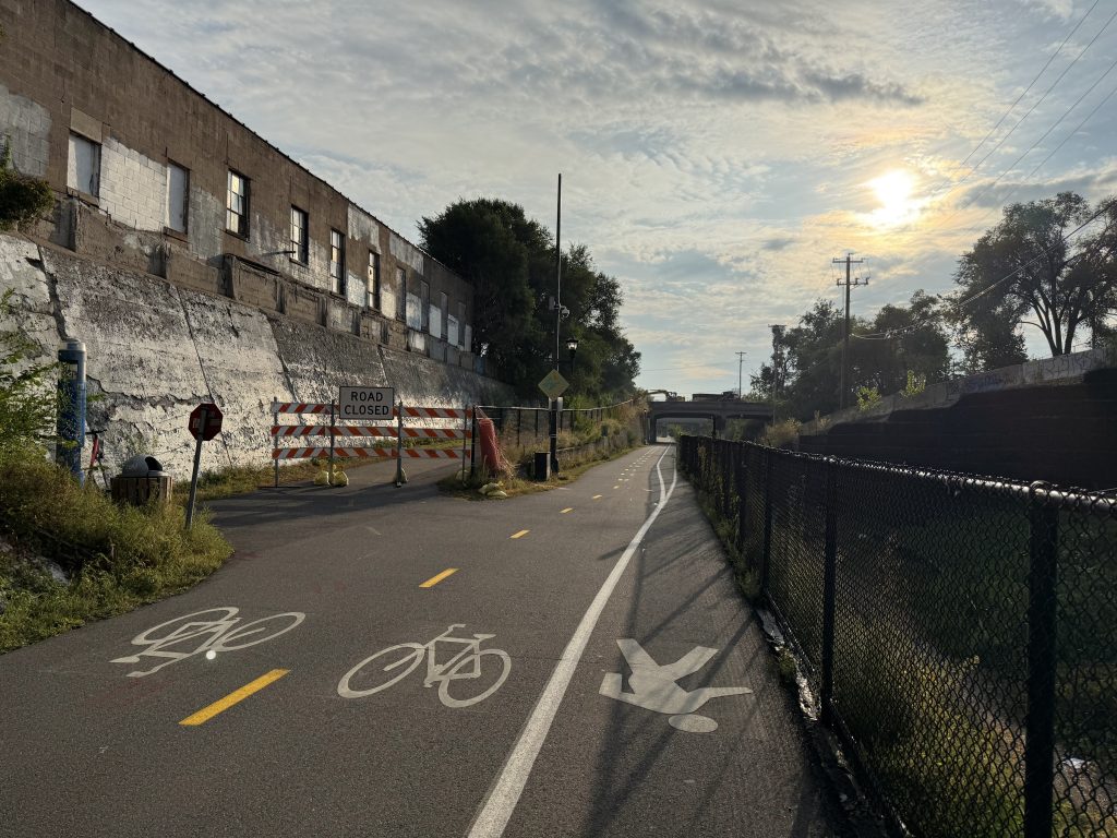
At the time that this stretch of the Midtown Greenway was being constructed in 2000, there were still railroad tracks on the south side of the trench. By adding an access ramp to Nicollet Avenue, this created a pinch point under the bridge where both directions of the bikeway and pedestrians are forced into a narrow path next to the ramp and under the bridge. The entire bikeway in this section of the Midtown Greenway is elevated several feet higher than the original level of the trench.
Demolition
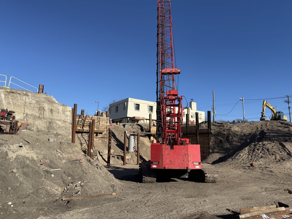
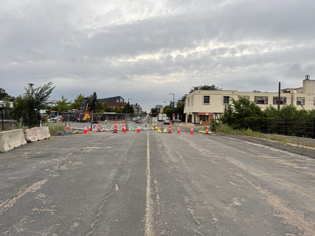
This past June, the demolition of the existing bridge and construction of the new one was included in the city’s Prioritized Bridge Replacement List at a cost of $11,300,000. Demolition preparation started this fall, and the Midtown Greenway was closed beginning October 14 for three weeks for the removal of the bridge and to install a temporary trail.


The new bridge should be completed in 2026 and until then, the Midtown Greenway will be using a temporary alignment and will likely be closed a few times to accommodate the construction. After construction of the new bridge, a new ramp to access the Midtown Greenway will be installed one block to the east at 1st Avenue connecting the newly reconstructed road and separated two-way bike path.