The City of Minneapolis is planning to reconstruct a relatively short section of Hennepin Avenue between West Lake Street and 36th St West in 2018. The northernmost block of the project passes through the core of the Uptown Business district, flanked by regional and local shopping and dining options most people recognize – the wonderful Amazing Thailand, an awesome local used bookstore in Magers & Quinn Booksellers, the Apple Store, a rash of outdoor gear retailers, and many other hip spots (things can still be “hip,” right?). The southern portion is a perhaps less remarkable, but no less important, mixed-use stretch. We’ve got small businesses taking up space in converted homes and mid-century commercial buildings, small-to-medium-sized apartments, townhomes, triplexes, duplexes, and single family homes. Pretty cool!

City of Minneapolis
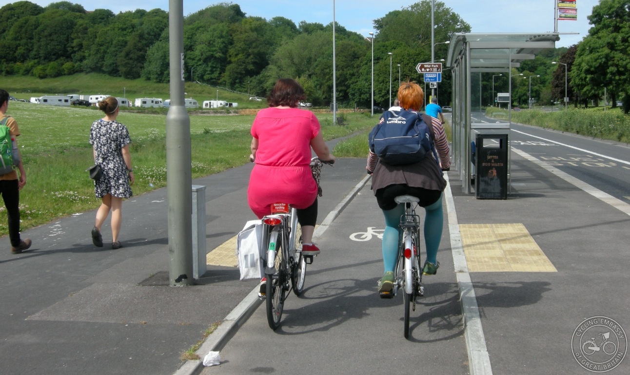
The southern end terminates at a cemetery, but this 6-block stretch collects people coming in buses and cars from points southwest and southeast of Lakewood. Vehicle counts in the southern portion are around 6,700 per day, and up to 10,600 on the Lake-31st block. While the graphic to the right shows some 800+ transit boardings a day within the project boundaries, Metro Transit ridership data shows about 5,000 people ride a bus (routes 6, 23, 114, and 115) on this street per day – most passing through, but also including people getting on and off between Lake and 36th. That means an impressive 40-50% of users aren’t in cars!
On a personal level, this street is very important to me. My family lives a 3 minute walk from Hennepin, and we cross it on our way to Lake Calhoun/Bde Maka Ska to access the trails, the beach, and to grab a bite at Tin Fish. I cross it on runs. We catch the bus at 35th St, often waiting 30 seconds to cross for non-yielding drivers. We walk our dogs along it to reach the veterinary clinic. I ride my bike along it to shop at Perennial Cycle or grab a coffee at Dunn Bros. I really want Hennepin to be safe to cross, pleasant to walk along, safe to bike on, comfortable to wait for a bus, and (yes) even safer to drive along. This includes my kids, who will learn to ride a bike soon and who I plan to give the personal freedom to bike or bus without supervision well before they’re of driving age.
Like many collector or arterial streets in Minneapolis and St Paul, the space between property lines on Hennepin doesn’t give us much to work with. It’s not uncommon for streets lined with businesses and residents, serving walkers and bikers and drivers, to be only 65 to 80 feet wide. Making everything fit can be difficult, sometimes impossible.
How Does Our Complete Streets Policy Actually Work?
Enter the Minneapolis Complete Streets Policy. It’s pretty good, you should check it out. The most important part of the policy is the Modal Priority Framework, which puts pedestrians above transit and people on bikes, above private vehicles:

Pretty simple.
Here’s a relevant passage from the policy:
The City incorporates a context-based approach that will be informed by the modal priority framework. Designs will be based upon project-specific objectives and context sensitive design solutions supported by the modal priority, street typology and place types, documented modal needs, multimodal metrics, issues, opportunities, functionality, environmental or social factors, right-of-way impacts, and input from stakeholders and the community
Even as a member of the Minneapolis Pedestrian Advisory Committee, having spent significant time providing input during the policy’s development, I’m still really not sure how this will play out in the Real World. It’s easy to say we prioritize pedestrians, but nothing is ever cut and dry – everything is a series of trade-offs on the scale of modal metrics (some of which don’t even formally exist yet, i.e., a metric on pedestrian comfort). For example:
- What Level of Service (LOS) drop for vehicles is acceptable in the name of bike, transit, or pedestrian improvements?
- Are we willing to remove space for vehicles if it means LOS drop may shift drivers to another street, or even another mode (which is, in my opinion, entirely feasible given existing origin-destination pairs)?
- Is a metered parking space equivalent to a non-metered parking space? What is the parking demand threshold for when we must keep parking at the curb?
- Is an un-priced parking space more or less valuable than an on-street painted, door-zone bike lane? What about a protected bike lane with plastic posts? Or even a cycle track at curb level?
- Is the city willing to consider relocating on-street parking to a side street as a replacement, and if so, what is the price/walk-distance equivalence to getting a bike lane or wider sidewalks (or both)?
- What’s the threshold for dedicated transit lanes? Do transit riders get a priority bonus over typical engineering and LOS calculations? What’s the threshold to build a bus-bulb rather than forcing the bus to pull out of the thru-lane to pick up passengers?
- How will we re-think signals to prioritize pedestrians, cyclists, and even transit? Monte Castleman did a nice job discussing the engineering guidelines for signals and determining pedestrian intervals and recall. But those all rest on a completely different set of priorities than our Complete Streets Policy does. Will Minneapolis choose to completely blow that up or merely shift their formulas?
I could go on here, but you probably get my point. I’m not saying the Complete Streets Policy should be a prescriptive document answering all those questions (and then some) by including appendix after appendix of engineering equations and equivalences of street space allocation.
But it is a little too vague in my view. If history is a predictor for future outcomes, the status quo will be hard to break since every project will have stakeholders demanding a “context sensitive” approach, which basically means maintaining parking or vehicle flow. This goes double for our major streets – the ones that need the most pedestrian and bike love, and where most transit operates – are county or state roads where design requirements may conflict with city goals (even if we do request a variance). Take the example of Glenwood Avenue reconstruction, which could have easily had a quality pedestrian experience and raised protected bike lanes given an adopted Complete Streets Policy, but didn’t because reasons. The city needs a stronger implementation, especially as streets across the city will see reconstruction on a faster timeline thanks to the 20-Year Street Funding Plan.
Back to Hennepin Avenue
So, you might see where I’m going with Hennepin Avenue. We’ve got 66 feet to work with to make a space that, by city policy, should FIRST be safe, comfortable, and convenient for pedestrians, SECOND be safe, comfortable, and convenient for bicyclists and transit users, and THIRD, be convenient for motorists.
The city put out a survey (you can still take it!) asking residents to rank potential options for the different segments:
But let’s stretch our imagination a bit here. To frame my suggestions:
- Hennepin Avenue (including other parts) is not a county or state road, and thus we don’t have other engineering departments weighing in on its design and use the way we might otherwise.
- The Minneapolis Bicycle Master Plan does recommend a bike facility on Hennepin here. While it calls for shared lanes, the plan doesn’t limit protected facilities from being installed even when not identified in the Protected Bikeway Update. There is a considerable gap between north-south bike infrastructure from the lake to the Bryant Ave facility, which is unlikely to get better treatment given the more constrained right of way (60 feet).
- I don’t believe a door-zone bike lane, or one where a stopping bus or turning car can pull into a curb-adjacent bike lane, is equivalent to a raised bike facility. I think research supports the perceived and actual safety outcomes of protected bike infrastructure.
- I don’t think it’s too much to ask people who drive and park to walk around the corner from a side street to reach a business or to visit residents.
- On very busy and constrained streets with consistent alley access for the parcels on both sides, providing general parking for residents should not be a priority, but accommodating spot drop-off zones should be evaluated. This is especially true when current parking utilization hovers around 50% despite the city giving it away for free.
- The Lake-31st block is one of the most significant commercial nodes in Minneapolis outside of downtown. The whole district is served by several public parking lots and ramps all within a quick walk, with many side streets still un-metered.
- This is literally a once in a lifetime opportunity. We won’t reconstruct this stretch for another 40-50 years, so once the curbs are set, that’s it. I’m 31 years old, meaning I’ll be lucky to see the street’s next iteration, so it’d be great to do something awesome now.
I’d like to see the city follow our Complete Streets Policy in the strictest sense for this project. For the blocks south of 31st St, let’s have a world-class protected bike lane at sidewalk level:

We have enough room for 10.5 foot wide lanes with 2 feet of curb reaction/gutter pan for the State Aid Standard devotees, plus a 12 foot wide pedestrian realm – wide enough for a good sidewalk and ample tree coverage. A raised cycle track (with a 2 foot buffer for snow storage, sign posts, etc) here also sets the tone and precedent for Hennepin Avenue north of Lake whenever it’s reconstructed.
We can bend the cycle track out at intersections to accommodate a waiting space for pedestrians:

Bus stops could be consolidated, with the bike lane wrapping behind it:

While 8 feet might not meet typical Metro Transit guidelines for aBRT station infrastructure – the A Line has typical station widths between 11 and 15 feet – it’s not a width that’s unheard of for quality floating bus stops in other parts of the world (no aBRT route is planned here, but perhaps there should be). The intersection at 36th would likely be tricky, but even this is better than what we currently have. And for areas mid-block where a drop-off zone, handicap parking, or delivery is an absolute must, the street could certainly accommodate it.
Finally, the Lake St to 31st St block. We have a huge opportunity to make this a people-first area reflective of the land uses surrounding it. At a minimum, the city should consider a pedestrianized design without parking (or limited parking/pull-out areas), potentially a single level surface with a pavement texture that slows vehicles. Stephen Avenue in Calgary (a place I hear is cold and gets snow) provides a great template:

Some nerd was handing this out at the open house event last week.
But really, we should be talking about making this block for pedestrians, bikes, and transit only. Routing cars around the Nicollet Kmart hasn’t killed Eat Street, a point made by the Honorable Nick Magrino here. And I wouldn’t be the first to suggest Hennepin as an artery in general cater less to cars.
Removing 10,000 cars a day but leaving just 350 buses passing through would be a huge win from a noise, pollution, and safety perspective. And those 10,000 cars? Drivers always find a way. Including during the many existing events that close this block of Hennepin like the Uptown Art Fair.

I wouldn’t suggest this without pairing traffic calming measures on those side streets, but I also don’t really think it’s fair that we privilege people in neighborhood interiors both from development AND thru-traffic. Calhoun Parkway, Irving, Humboldt, Fremont, and Bryant could easily take on additional traffic (while some remains on Hennepin itself between 31st and 36th). The residents on those streets (myself included) are no more or less deserving of <1,000 vehicles a day than people living on Hennepin. This proposal makes the properties along Hennepin that much more livable (and valuable) than the street designs outlined above. And, this puts transit and biking as the most direct path to reach Uptown, consistent with our Complete Streets Policy of prioritizing those modes.
As an aside, this is a serious conversation we should be having regarding autonomous vehicles. We have a grid. Let’s design streets so traffic moves at 20 mph or slower while humans are still behind the wheel, but let’s actually leverage that grid to its fullest potential! When cars can drive themselves, I don’t expect them to rely on the simplified heuristics and mental maps human brains fall back on, and they can be programmed to not pose a safety threat to nearby properties.
In any case, I hope this spurs some ideas for this project. Maybe we should do a pilot this spring, closing down the critical block of Hennepin during weekdays with detour signage for drivers, and measure the outcomes. At the very least, we should start having a more explicit discussion of the trade-offs between user safety, comfort, and convenience within the context of the modal priority framework when settling on a street’s design.