Category: Maps

Map Monday: Noise Maps of Minnesota and the Twin Cities

A while ago I came across an interactive noise map of the globe. Punch in a location and it pops up a map. Zooming out to a state-level seems to remove the noise data, this is a large as I could screen grab. Interesting to see this above noise map rates industrial zoned for consideration […]
Map Monday: Twin Cities Multi-Family Density

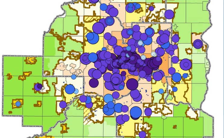
One of streets.mn’s loyal readers pointed me toward this great map from a recent report at last week’s Met Council meeting. Here’s the map:   Inside the metro urban service area, multifamily density averages 35 units per acre, whereas all housing (all types) averages 6 units per acre. It’s also interesting to see how many multifamily units […]

Map Monday: The Great Twin Cities Megaregion

Via James Russell on Twitter, here’s a bottom-up map that was generated from analyzing 130 million commuter patterns and narrowing those trips into a series of “megaregions” around the country. The end result, in multi-color glory: And another one showing clear delineations: A brief description of the methodology: Previously megaregions have been typically identified by […]

Map Monday: Minneapolis Racial Covenants in 1951

Historyapolis‘ amazing work on the history of racism and real estate in the Twin Cities continues with this map showing racial covenants in Minneapolis over time. Here’s the cumulative total (so far!) from 1951.   Racial covenants were part of a suite of racist practices and policies that profoundly shaped Northern cities in the 20th century. […]

Mapping Renters and Owners in Central Saint Paul

If you ever attend a neighborhood meeting in Saint Paul (or probably any city), you’re likely to hear a lot about the perceived or actual animosity of homeowners against renters. For example, in my own neighborhood in the North End, a recent meeting drew some audible expressions of surprise when someone quoted the statistic that […]

Many Prospects for Passenger Rail in Wisconsin

  In my most recent two posts I looked first at the opportunities I see for passenger rail in Minnesota, followed by an entry examining Norway’s passenger rail network to make some comparisons. There are similarities between the two such as the fact that Minnesota and Norway have about the same population and have been growing […]

Map Monday: Twin Cities Redlining (HOLC) Map, 1934

In 1934, the Federal Housing Administration devised a classification scheme for urban residential properties as part of the Home Owners’ Loan Corporation, a New Deal program intended to refinance existing home mortgages and to make the process more accessible for new homebuyers. The HOLC system classified homes and neighborhoods into four tiers, ranging from the […]

Map Monday: Minneapolis Low-density Neighborhoods with Good Transit Service

Alex Cecchini recently argued that we should allow multifamily buildings along leafy, quiet streets. One of the points he used to support his argument was that transit service in many Minneapolis neighborhoods is flexible. This point seemed particularly ripe for further analysis and visualization. How good is transit in low-density neighborhoods in Minneapolis? Is our zoning code preventing […]

Map Monday: Dakota and Ojibwe Map of Minneapolis

Via Nick Magrino on Twitter (I don’t know where he got it), here’s a cool map showing Native American trails and place names superimposed on the existing Minneapolis city boundaries. Indigenous People’s Day (which is the official status of today’s holiday in a few Minnesota cities) is the perfect time to stop and reflect on the […]